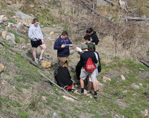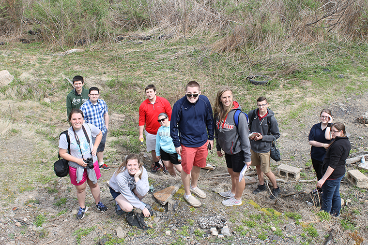
Using an infrared camera, a regular camera, and sensors on an Unmanned Aerial System piloted by members of the Academy of Model Aeronautics (AMA), students could see that the fire was still burning. They operated the UAV’s payload controls and had a ground station so they could observe the data collection as it occurred. The ground was still hot, and sulfur fumes spewed from below the surface. “The students loved this project and its hands-on mathematics. They’re still talking to me about it,” said Geiswhite. “I was extremely impressed with the dedication and attention to detail they showed.“
This learning experience was initiated, managed and supported through the teacher professional development effort, Remote Sensing Earth Science Teacher Program (RSESTeP) funded through various grants to schools across several states. Landsat is a cornerstone of RSESTeP, as its data provides the foundation for most of the missions chosen by participating teachers.
Patrick Coronado, NASA engineer and Program Manager for RSESTeP, says that the students’ discovery of meaning lies at the heart of what will change a student’s attraction to careers in science and technology. Coronado explains, “Before participating in this program, students generally had limited interest in concepts and tools of mathematics, geometry, science or health. Many student see school as something separate from the rest of their lives.” After participating it has helped them engage and see its relevance to their communities and to what they care about.” “Everyone is engaged and excited about NASA satellite data because the focus of their work is about their local area,” commented NASA educator Sallie Smith, who coordinates and supports RSESTeP participants’ work and who is “the heart and soul of RSESTeP” according to Coronado.
Teacher Geiswhite’s involvement in the program entailed a year of close interactions with Coronado, Smith and other partners. RSESTeP teachers identify their own missions based on the interests and concerns of their local communities. They spend a week at NASA Goddard Space Flight Center for a short course in remote sensing and how to deal with satellite data. At NASA they partner with a scientist to fine-tune their mission statements and what they want students to measure. They also identify and partner with scientists from their own geographic areas, who specialize in the mission topics of interest, and they partner with AMA pilots if Unmanned Aerial Vehicles flights are involved.
Such partnerships involve visits by scientists and AMA pilots to participating teachers’ classrooms. Smith notes, “The program is wonderful model for engaging students and teachers in NASA Earth science. RSESTeP works because our partnerships work. Some of the scientist-teacher relationships even continue beyond teachers’ direct involvement in the program.”
The mission with North Schuylkill Junior-Senior High School was funded through a Math and Science Partnership grant from the state’s Chester County Intermediate Unit. Securing funding for RSESTeP has been a perennial struggle but Smith and Coronado are determined the program will continue.
To learn more about RSESTeP, contact Patrick Coronado at, patrick.l.coronado@nasa.gov


Be Part of What’s Next: Emerging Applications of Landsat at AGU24
Anyone making innovative use of Landsat data to meet societal needs today and during coming decades is encouraged to submit and abstract for the upcoming “Emerging Science Applications of Landsat” session at AGU24.


