Landsat's Role in Understanding Climate Change
Long-term weather patterns averaged over 30 years or more make up our climate. Human well-being—our infrastructure and agriculture—depend on a reliable climate. This reliability allows farmers to plant seeds in the spring with confidence that temperatures and rainfall will sustain crops in the coming months. It allows communities to build and maintain roads, buildings, and drainage systems best suited to local conditions. Earth’s climate is controlled by the amount of energy that flows through the atmosphere, oceans, and land. By adding heat-trapping gases to the atmosphere—primarily carbon dioxide—people are increasing the amount of energy in the Earth system that would otherwise escape to space. This increase in energy is changing Earth’s climate, and consequently, the weather patterns that people rely on are shifting. Changes in long-term weather patterns have wide-ranging impacts on ecosystems and peoples’ lives. Designed to observe land and coastal ecosystems, Landsat instruments provide an unparalleled space-based record of the impact of climate change on Earth’s landscapes, the growth and loss of carbon- storing.
![Sea Ice](https://landsat.gsfc.nasa.gov/wp-content/uploads/2022/06/Frazier-seaice.png)
New Research Finds Sea Ice Can Control Antarctic Ice Sheet Stability
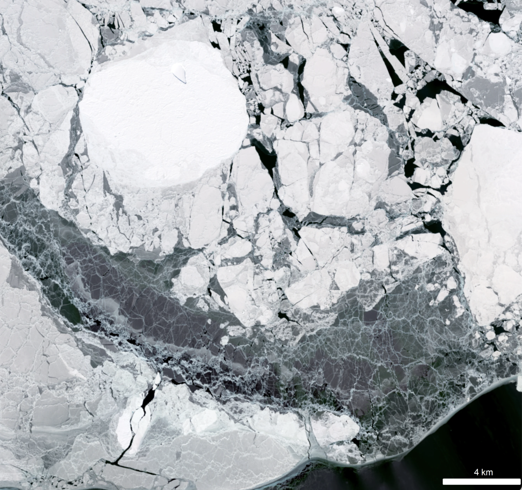
Despite the rapid melting of ice in many parts of Antarctica during the second half of the 20th century, researchers have found that the floating ice shelves which skirt the eastern Antarctic Peninsula have undergone sustained advance over the past 20 years.
![Coastal development in China](https://landsat.gsfc.nasa.gov/wp-content/uploads/2022/05/extensive-coastal-development-along-the-east-asia-coastline-has-led-to-rapid-declines-of-tidal-flat.jpg)
Landsat Reveals Dramatic Loss of Global Wetlands Over Past Two Decades
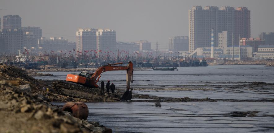
An analysis of over a million Landsat images has revealed that 4,000 square kilometres of tidal wetlands have been lost globally over twenty years.
![Lakes on Antarctica Ice Shelf](https://landsat.gsfc.nasa.gov/wp-content/uploads/2022/04/Fig1_AmeryLake_R2-01_0.png)
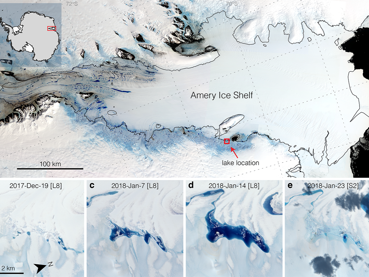
Strong Tides, Vanishing Lakes May Prove Beneficial to Antarctic Ice Shelf
Satellites have helped show that strong tidal activity may facilitate water-induced fracturing, or hydrofracturing, where land ice transitions to floating ice shelf and cause the meltwater lake to drain quickly, often in as little as several days.
![Landsat image of Chicago in 2019](https://landsat.gsfc.nasa.gov/wp-content/uploads/2022/03/Chicago-2019-193.png)
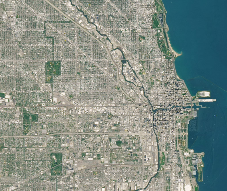
Finding Ways to Turn Down the Heat in Cities with Satellites
Rooftop gardens and greenery can help ease some of the severe heat in cities, according to research from climate scientists at NASA’s Goddard Institute for Space Studies (GISS) in New York.
![Castle Creek Glacier](https://landsat.gsfc.nasa.gov/wp-content/uploads/2022/01/castle_map-t.jpg)
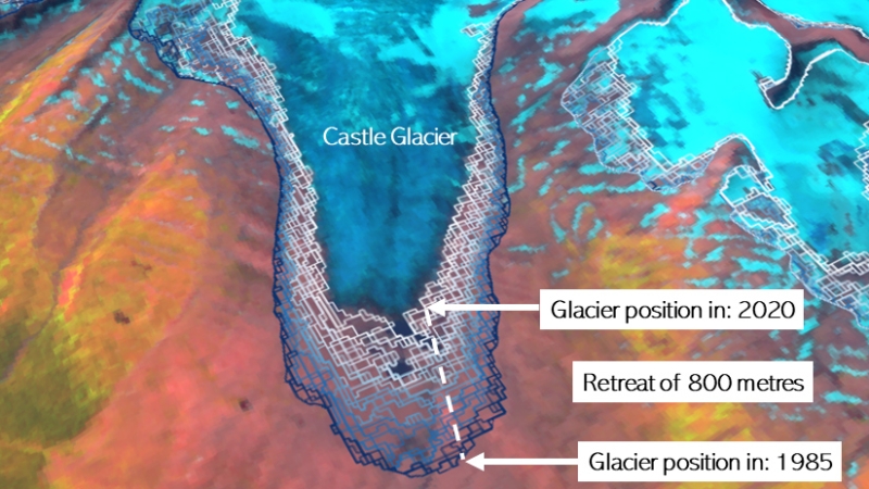
Landsat Shows Western Canada’s Glaciated Environments Rapidly Changing
A new mapping tool developed by UNBC researchers shows that western Canadian glaciers are shrinking at an increasing rate.
![From left to right: The Stateline Solar Park in California; Dr. Alona Armstrong taking a soil surface measurement; Armstrong and Dr. Rebecca R. Hernandez walking a soil surface transect; a Creosote bush (Larrea tridentata), a dominant evergreen shrub found in the Ivanpah Valley, where Stateline PV Solar Park is located.](https://landsat.gsfc.nasa.gov/wp-content/uploads/2021/11/Cool-Islands_0.png)
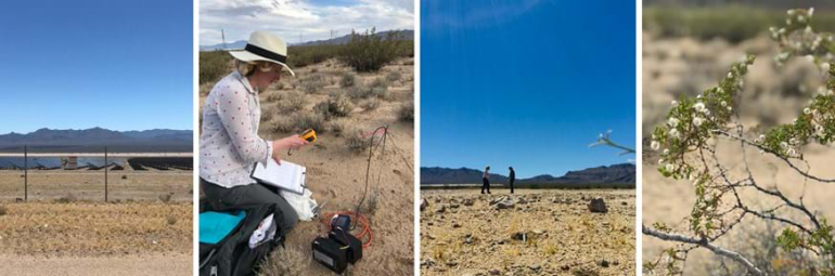
Finding “Cool Islands:” Landsat Used to Study Thermal Impact of Large Solar Parks
Using Landsat, scientists have discovered for the first time that large scale solar parks have a cooling effect on the land surrounding them.