
Landsat's Role in Responding to Disasters
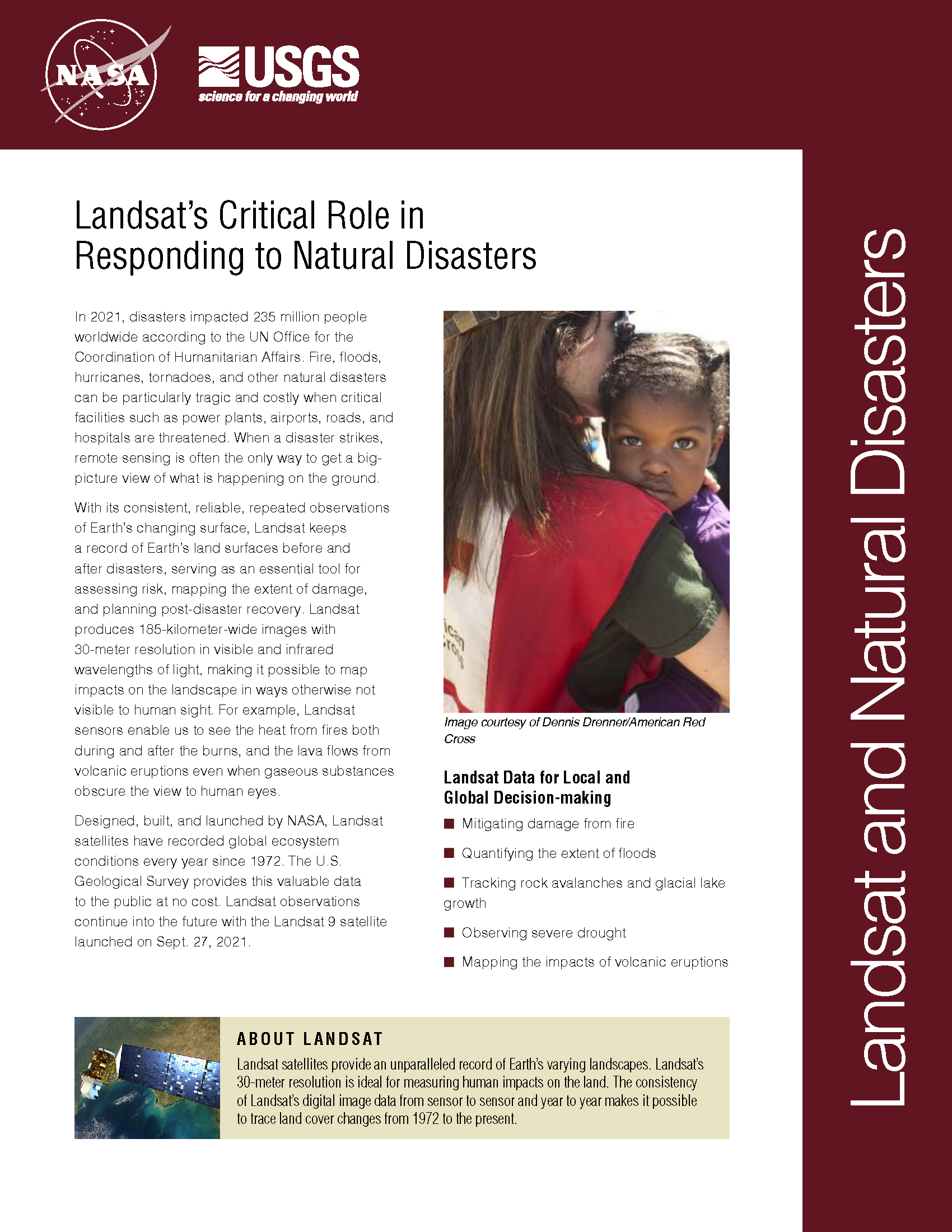
In 2022, the Emergency Events Database (EM-DAT) reported 387 natural hazards and disasters worldwide, resulting in the loss of over 30,000 lives and affecting more than 185 million individuals. Economic losses totaled around US$223.8 billion. Fires, floods, heat waves, drought, hurricanes, tornadoes, and other natural disasters can be particularly tragic and costly when critical facilities such as power plants, airports, roads, and hospitals are threatened. When a disaster strikes, remote sensing is often the only way to get a big-picture view of what is happening on the ground. With its consistent, reliable, repeated observations of Earth’s changing surface, Landsat keeps a record of Earth’s land surfaces before and after disasters, serving as an essential tool for assessing risk, mapping the extent of damage, and planning post-disaster recovery. Landsat produces 185-kilometer-wide images with 30-meter resolution in visible and infrared wavelengths of light, making it possible to map impacts on the landscape in ways otherwise not visible to human sight. For example, Landsat sensors enable us to see the heat from fires both during and after the burns, and the lava flows from volcanic eruptions even when gaseous substances obscure the view to human eyes.
56 Landsat Images Provided to International Charter in November 2015
The Charter concept is this: a single phone number is made available to authorized parties providing 24/7 contact to a person who can activate the charter. Once activated, a project manager takes charge. The project manager knows what satellite resources are available, how to task them to collect data, and how to quickly analyze the collected data to create impact maps for first responders. These maps, provided to responders for free, often show where the damage is and where crisis victims are, allowing responders to plan and execute relief support.
14 Landsat Images Provided to the International Charter in October 2015
The International Charter is a system that supplies free satellite imagery to emergency responders anywhere in the world.
Over 150 Landsat Images Provided to the International Charter in September 2015
This month, 166 Landsat scenes were ingested by the USGS Hazard Data Distribution System to provide data for Charter activations.
Landsat Images Advance Watershed Restoration in Western Tanzania
For those who live along its shores, Lake Tanganyika in east Africa is the backbone of local transportation and serves as an essential source of household water and protein. Every night, fishers lure nocturnal, sardine-like fish called dagaa with compression lamps that are strung between their boats. From the shore, the lake sparkles with the lights of miniature moons as people gather the treasured catch.
A Landsat-based Tool to Track Cheatgrass, Monitor Potential Wildfire Hazard
Landsat 8 imagery is being used to identify increased wildfire susceptibility due to the invasion of cheatgrass on rangelands.
Landsat Images Provided to the International Charter in July 2015
The International Charter is a system that supplies free satellite imagery to emergency responders anywhere in the world.
