
Landsat's Role in Responding to Disasters
In 2022, the Emergency Events Database (EM-DAT) reported 387 natural hazards and disasters worldwide, resulting in the loss of over 30,000 lives and affecting more than 185 million individuals. Economic losses totaled around US$223.8 billion. Fires, floods, heat waves, drought, hurricanes, tornadoes, and other natural disasters can be particularly tragic and costly when critical facilities such as power plants, airports, roads, and hospitals are threatened. When a disaster strikes, remote sensing is often the only way to get a big-picture view of what is happening on the ground. With its consistent, reliable, repeated observations of Earth’s changing surface, Landsat keeps a record of Earth’s land surfaces before and after disasters, serving as an essential tool for assessing risk, mapping the extent of damage, and planning post-disaster recovery. Landsat produces 185-kilometer-wide images with 30-meter resolution in visible and infrared wavelengths of light, making it possible to map impacts on the landscape in ways otherwise not visible to human sight. For example, Landsat sensors enable us to see the heat from fires both during and after the burns, and the lava flows from volcanic eruptions even when gaseous substances obscure the view to human eyes.
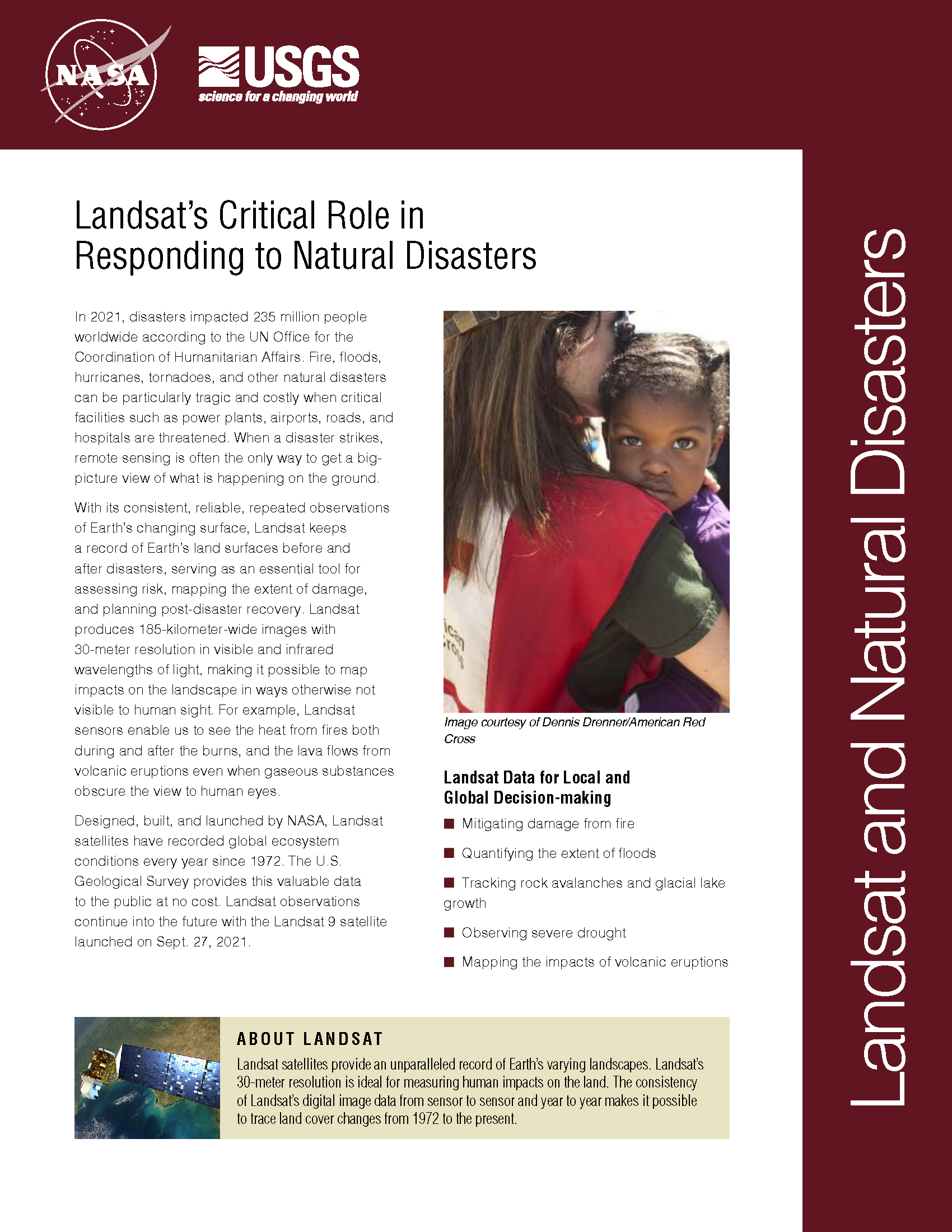
NASA Data Helps Pinpoint Impacted Populations in Disaster Aftermath
Contact: Gretchen Cook-Anderson, NASA/GSFC When two catastrophic natural disasters struck within days of each other in May 2008, disaster relief, humanitarian aid, and health officials, as well as members of the
Landsat Satellite Imagery Used to Assess the Impact of Burma’s Cyclone Nargis
Contact: Janice Nelson, USGS USGS is providing Landsat satellite imagery to aid rescue and recovery efforts in Burma (Myanmar) in the aftermath of Cyclone Nargis’s landfall on May 3. International
Landsat Helps Show That Forests Damaged by Hurricane Katrina Become Major Carbon Source
With the help of Landsat and MODIS data, a research team has estimated that Hurricane Katrina killed or severely damaged 320 million large trees in Gulf Coast forests, which weakened
Greeks Get Space-Based Help In Wake of Deadly Fires
Contributor: European Space Agency (ESA) Cleanup and rebuilding teams responding to the devastation across Greece caused by this summer’s deadly fires are getting help from space. A series of crisis
Landsat and ASTER Provide Images of Alabaugh Canyon Fire to Emergency Responders
Contributor: Janice Nelson Satellite View Useful For Rehabilitation Effort The U.S. Geological Survey (USGS) Earth Resources Observation and Science (EROS) Center has provided satellite imagery in the rehabilitation effort of Alabaugh
Using Landsat, USGS Reports Post-Katrina and Rita Land Change Estimates for Louisiana Coast
A new peer-reviewed analysis of land change data from the U.S. Geological Survey’s National Wetlands Research Center indicates that 217 square miles of Louisiana’s coastal lands were transformed to water
