
Landsat's Role in Responding to Disasters
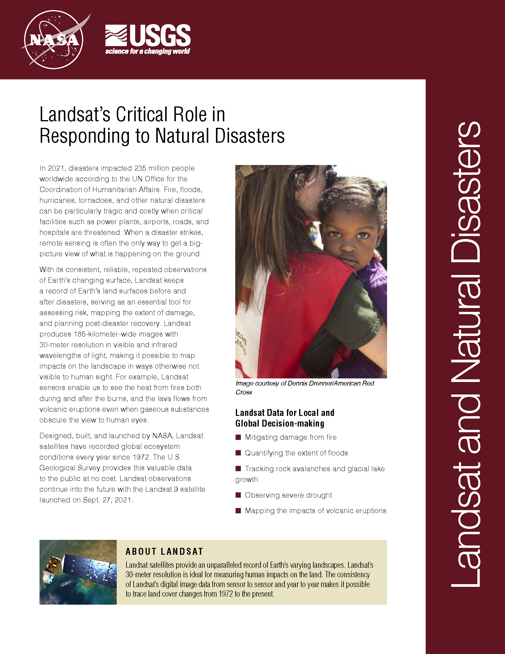
In 2022, the Emergency Events Database (EM-DAT) reported 387 natural hazards and disasters worldwide, resulting in the loss of over 30,000 lives and affecting more than 185 million individuals. Economic losses totaled around US$223.8 billion. Fires, floods, heat waves, drought, hurricanes, tornadoes, and other natural disasters can be particularly tragic and costly when critical facilities such as power plants, airports, roads, and hospitals are threatened. When a disaster strikes, remote sensing is often the only way to get a big-picture view of what is happening on the ground. With its consistent, reliable, repeated observations of Earth’s changing surface, Landsat keeps a record of Earth’s land surfaces before and after disasters, serving as an essential tool for assessing risk, mapping the extent of damage, and planning post-disaster recovery. Landsat produces 185-kilometer-wide images with 30-meter resolution in visible and infrared wavelengths of light, making it possible to map impacts on the landscape in ways otherwise not visible to human sight. For example, Landsat sensors enable us to see the heat from fires both during and after the burns, and the lava flows from volcanic eruptions even when gaseous substances obscure the view to human eyes.
Understanding Disaster Aftermath in Japan
Contributors: Laura Rocchio and Julia Barsi After the violent March 11 Tohoku earthquake and devastating Japanese tsunami, the U.S. Geological Survey (USGS) coordinated a volunteer GIS-based analysis effort as part
Landsat Reveal Surprising Connection Between Beetle Attacks, Wildfire
If your summer travels have taken you across the Rocky Mountains, you’ve probably seen large swaths of reddish trees dotting otherwise green forests. While it may look like autumn has
Evaluating Mangroves After the 2004 Indian Ocean Tsunami
During the devastating 2004 Indian Ocean tsunami, more than 200,000 people lost their lives. Some coastal communities were shielded from the waves’ destruction by mangrove forests, which motivated efforts to
Landsat Sees Wetland and Barrier Island Loss from Hurricane Gustav
Contributor: Rob Gutro Hurricane Gustav made landfall in coastal Louisiana on Sept. 1, 2008, as a very strong category 2 (almost category 3) hurricane and left its mark on wetlands
USDA FAS Uses GIS, MODIS, and Landsat to Monitor Rice Production in Burma
Source: ESRI Press Release, Redlands, California, USA Subsequent to Cyclone Nargis, a category 3 tropical storm that struck the low-lying and heavily populated coastline of Myanmar (Burma) on May 2,
NASA Data Helps Pinpoint Impacted Populations in Disaster Aftermath
Contact: Gretchen Cook-Anderson, NASA/GSFC When two catastrophic natural disasters struck within days of each other in May 2008, disaster relief, humanitarian aid, and health officials, as well as members of the
