

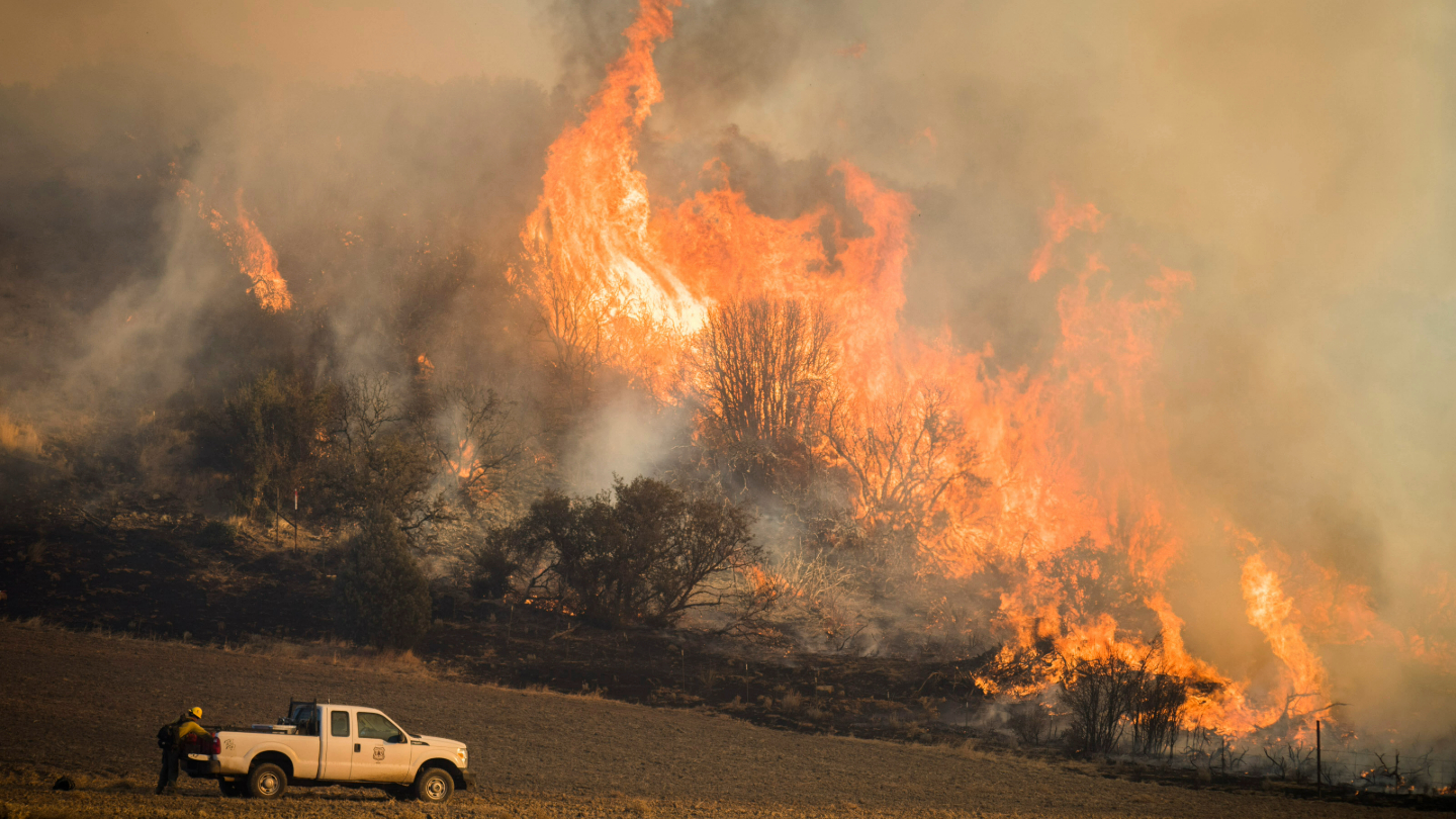
Satellites Show How Drought Changes Wildfire Recovery in the West
A new study using NASA satellite data reveals how drought affects the recovery of western ecosystems from fire, a result that could provide meaningful information for conservation efforts.
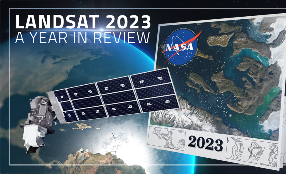
Landsat 2023 – A Year in Review
A delve into Landsat-based studies revealing the environmental impact of river mining, the decline in global lake water levels, and the risks of rising sea levels on coastal habitats. Plus, a sneak peek at what the future of the Landsat program holds with the introduction of Landsat Next.
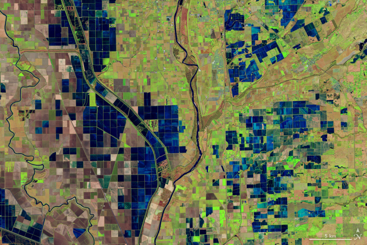
OpenET Study Helps Water Managers and Farmers Put Landsat to Work
As the world looks for sustainable solutions, a system tapping into Landsat data for water management has passed a critical test.

Landsat Helps Prioritize Conservation Areas for Australia’s Gliding Possums
Using satellite data, including Landsat, Griffith University researchers found that less than 13 percent of the endangered greater gliders’ habitat in Queensland is protected.
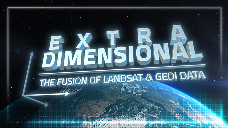
ExtraDimensional—The Fusion of Landsat & GEDI
When Landsat’s vast decades-long archive is combined with data from other instruments it can provide amazing insight into how our world is evolving with us and around us. Here are some of the ways Landsat and GEDI data are being harnessed to help us better understand the complex relationship between humanity and nature.
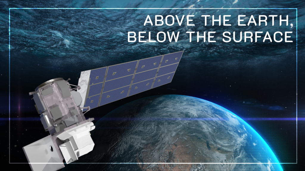
Above the Earth, Below the Surface: Landsat’s Role in Monitoring Water Quality
Safeguarding freshwater resources is crucial, and while scientists use a variety of ground-based techniques to gauge water quality, the Landsat program has provided water quality data from orbit for decades.
