Landsat’s Role in Managing Water Resources
Water is essential for life. A third of Earth’s populace has unreliable access to clean water. With current population growth and environmental trends, the U.N. Environmental Program estimates that 1.8 billion people will face water scarcity by 2025. Water means survival for people and other species we rely upon to thrive, making proper stewardship of our water resources vital. Good decisions require good data. Since 1972 the Landsat series of satellites has been providing such data. Landsat-based decisions on how to manage limited water resources have impacted millions of people worldwide. From finding water for refugees in arid nations to reducing pollution in our national waterways, Landsat enables decisions that directly help people.

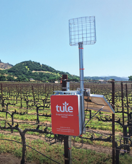
Satellite Imagery Helps Farmers Cut Water Use in Half
A young start-up is using satellite data to give California farmers better information about water, which can translate into water savings or bigger yield for the same input.

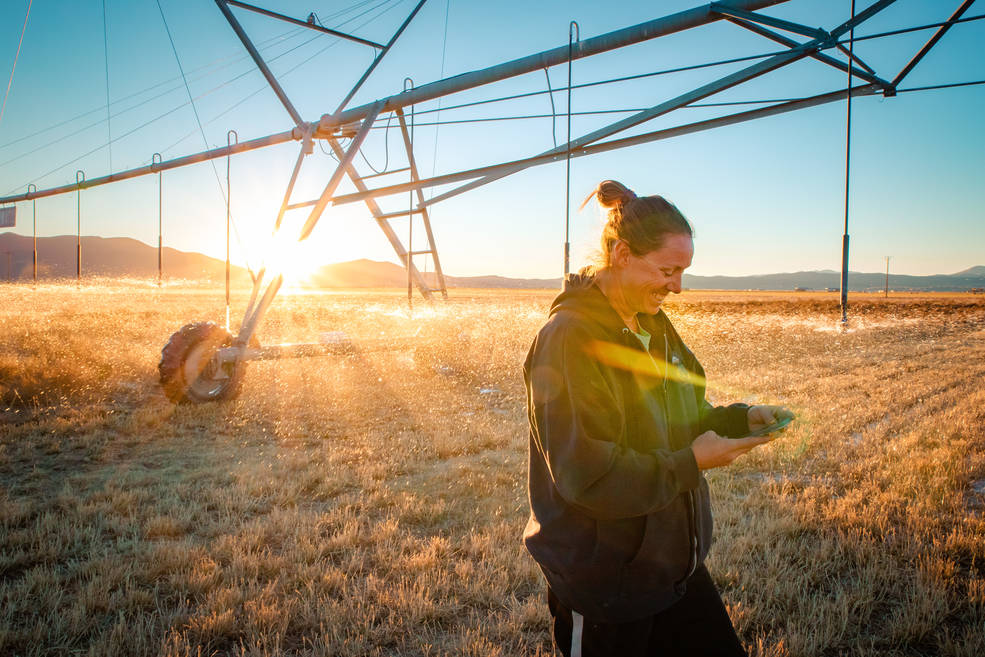
Transforming Water Management in the U.S. West with Satellite Data
A new web-based platform called OpenET will soon be putting satellite data in the hands of farmers, water managers and conservation groups to accelerate improvements and innovations in water management.

Global Survey Using Landsat Shows Dramatic Growth of Glacial Lakes
Using 30 years of Landsat data, researchers have found that the volume of glacial lakes worldwide has increased by about 50% since 1990.

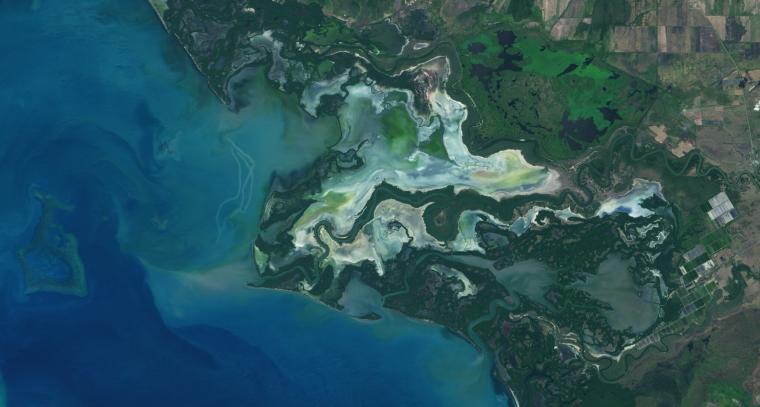
NASA Study Maps the Roots of Global Mangrove Loss
Using Landsat, researchers have created the first map of the causes of change in global mangrove habitats between 2000 and 2016—a valuable tool to aid conservation efforts for these vital coastline defenders.

Student Liza Goldberg Uses National Geographic Young Explorers Grant to Bring Satellite Imagery into Classrooms
Goldberg will launch Cloud to Classroom, an innovative project that uses satellite imagery to help K-12 classrooms understand global environmental change through remote sensing.

Chasing Satellites with Jacques Cousteau
In August 1975, Jacques Cousteau and his divers helped determine if Landsat could measure the depth of shallow ocean waters.


