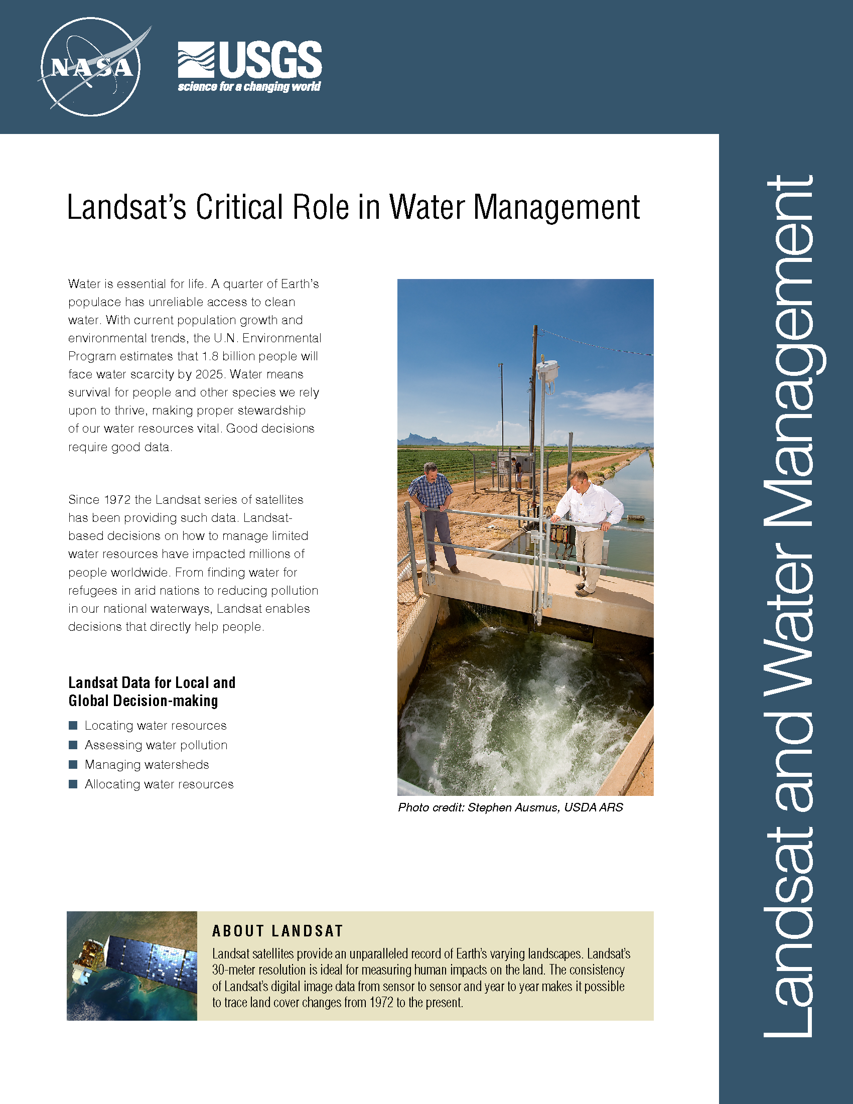
Landsat’s Role in Managing Water Resources
Water is essential for life. A third of Earth’s populace has unreliable access to clean water. With current population growth and environmental trends, the U.N. Environmental Program estimates that 1.8 billion people will face water scarcity by 2025. Water means survival for people and other species we rely upon to thrive, making proper stewardship of our water resources vital. Good decisions require good data. Since 1972 the Landsat series of satellites has been providing such data. Landsat-based decisions on how to manage limited water resources have impacted millions of people worldwide. From finding water for refugees in arid nations to reducing pollution in our national waterways, Landsat enables decisions that directly help people.
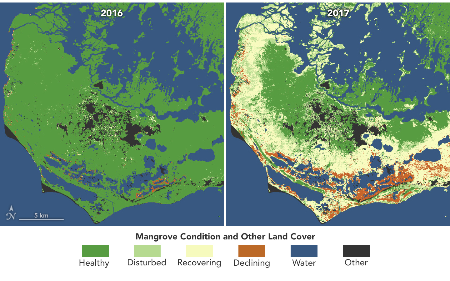
Mangroves Are Losing Their Resilience
Mangroves, the iconic trees and shrubs of the Florida Everglades, are under increased stress due to more frequent, intense hurricanes.
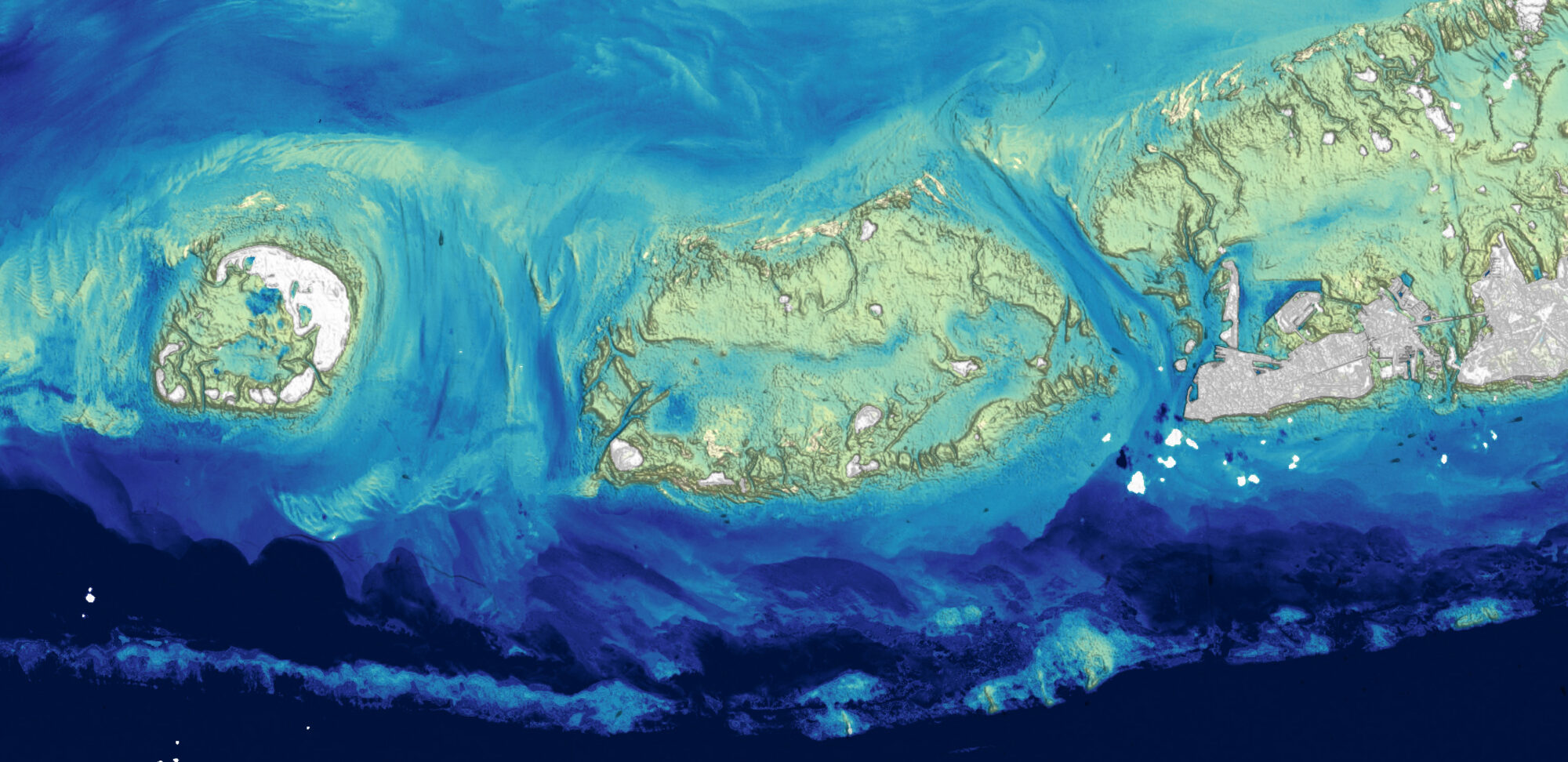
Landsat Plumbs the (Shallow) Depths
Scientists at the U.S. Geological Survey have developed a new way to measure ocean depth, or bathymetry, in shallow nearshore environments using Landsat data.

Tony Willardson, Water Watcher
With Landsat-based ET embedded in more and more water rights and conservation tools, Willardson and the Western States Water Council are eager to see Landsat Next with its higher spatial resolution, more frequent observations, and additional spectral bands, built and launched.
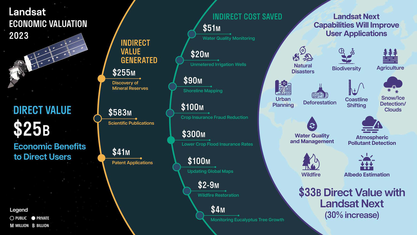
Landsat’s Economic Value increases to $25.6 Billion in 2023
A new report about the Landsat satellite program – a partnership between the U.S. Geological Survey and National Aeronautics and Space Administration – calculates its 2023 value at $25.6 billion—a marked increase from its 2017 estimate of $3.45 billion.
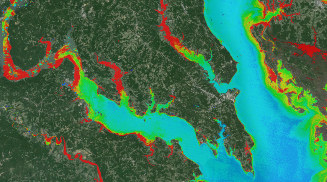
New Tool Provides Rapid Evaluation of Water Quality
A combination of Landsat and Sentinel-2 imagery, NASA near real-time data, and machine learning provides near real-time access to high-resolution water quality maps.
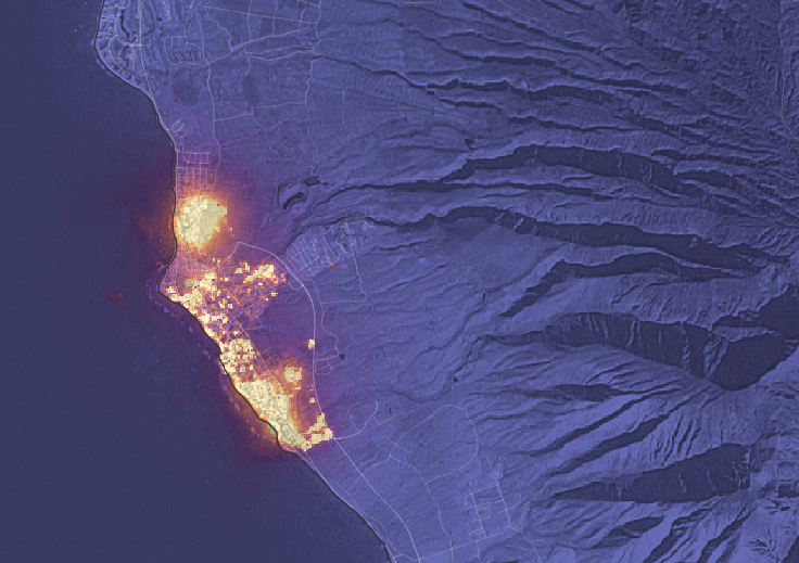
Landsat Observations Key Resource for Many Federal Agencies
In the FY23 Aeronautics and Space Report released on May 23, 2024, a multitude of Federal agencies report work informed by Landsat data.

