

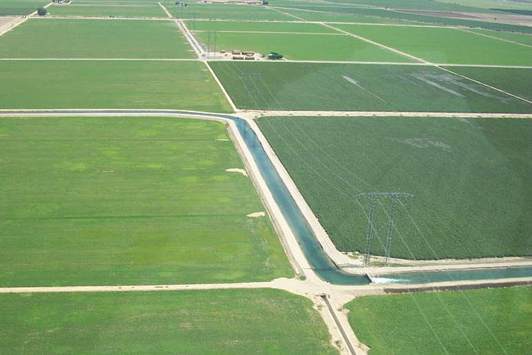
Watching Water Use in the Southwest
Water use trends observed in the Southwestern U.S. over three decades.
Landsat Maps Global Surface Water
Quantifying changes in global surface waters over the past 32 years.
Tracking Surface Water Changes Over the Past 30 Years
The world has gained 115,000 km2 of water and 173,000 km2 of land over the past 30 years.
Why Science Team Member Leo Lymburner Uses Landsat
Australia turned to Landsat. At Geoscience Australia, Landsat 8 Science Team member Leo Lymburner works with the flood mapping team headed by Norman Mueller that conceived of the Water Observations from Space project, or WOfS.
Landsat Reveals Serious Decline in Georgia Salt Marsh Health
Scientists at the University of Georgia’s Marine Institute at Sapelo Island have found that the amount of vegetation along the Georgia coast has declined significantly in the last 30 years, spurring concerns about the overall health of marshland ecosystems in the area.
Sierra Nevada Snowpack Not Likely To Recover from Drought Until 2019
Even with this winter’s strong El Niño, the Sierra Nevada snowpack will likely take until 2019 to return to pre-drought levels, according to new research.
