Landsat’s Role in Managing Water Resources
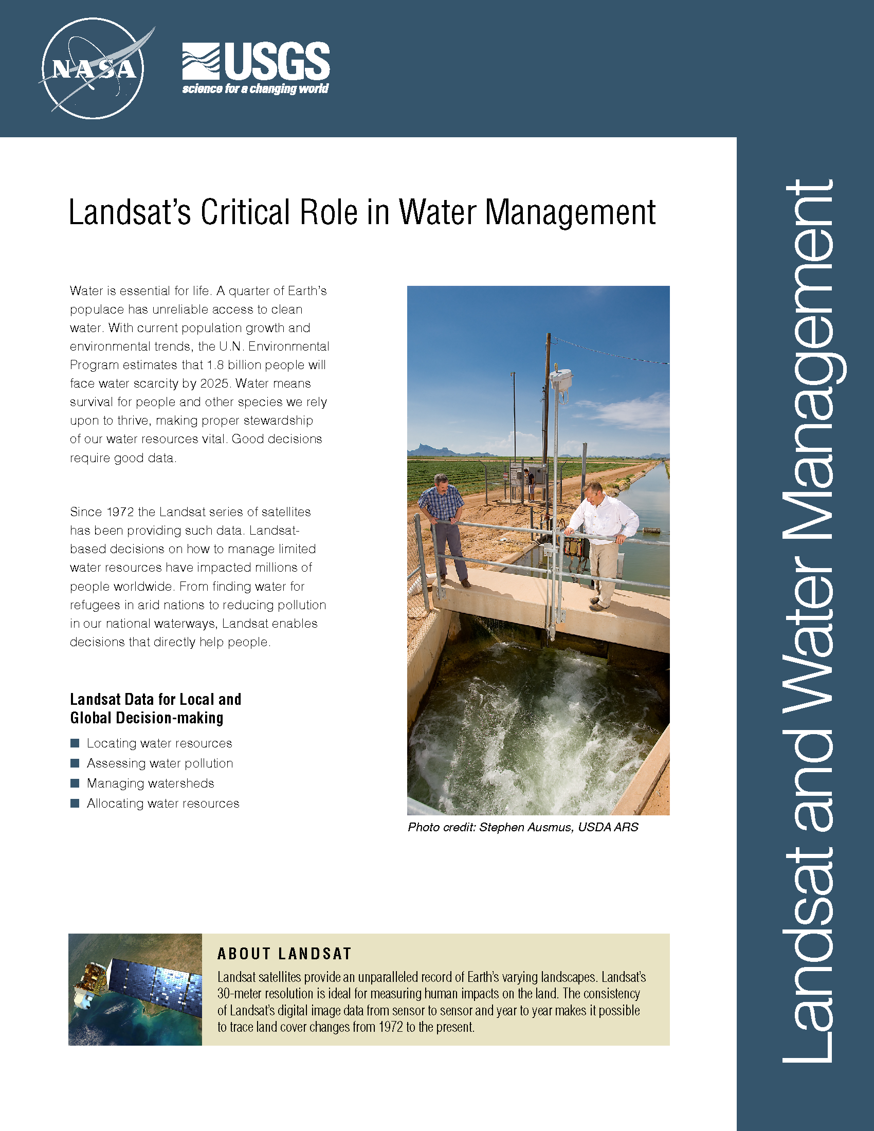
Water is essential for life. A third of Earth’s populace has unreliable access to clean water. With current population growth and environmental trends, the U.N. Environmental Program estimates that 1.8 billion people will face water scarcity by 2025. Water means survival for people and other species we rely upon to thrive, making proper stewardship of our water resources vital. Good decisions require good data. Since 1972 the Landsat series of satellites has been providing such data. Landsat-based decisions on how to manage limited water resources have impacted millions of people worldwide. From finding water for refugees in arid nations to reducing pollution in our national waterways, Landsat enables decisions that directly help people.
Losing Tidal Flats Around the Yellow Sea
Using Landsat time series data, a group of Australian and British ecologist have found that the Yellow Sea has lost 28% of its tidal flats in the last three decades.
Nearly 200,000 Glaciers Mapped for Better Sea Level Rise Estimates
An international team led by glaciologists from the University of Colorado Boulder and Trent University in Ontario, Canada has completed the first mapping of virtually all of the world’s glaciers—including their locations and sizes—allowing for calculations of their volumes and ongoing contributions to global sea rise as the world warms.
The Grapes of Landsat
California’s persistent drought is forcing grape growers to keep a more-attentive-than-normal eye on their vines, as water shortages and elevated temperatures alter this year’s growing season.
Landsat and the Sea
One year ago today, Landsat 8 blasted off from California’s Vandenberg Air Force Base and arched over the shimmering Pacific on its way into orbit. Landsat 8’s main sensor, the Operational Land Imager (OLI), is the latest model in the long line of Landsat Earth-looking radiometers—sensors that have been measuring visible and infrared light reflected from our planet since 1972.
NASA Maps Earth's Croplands from Space
It takes a lot of land to grow food for the world’s seven billion people. About a third of Earth’s terrestrial surface is used for agriculture. And about a third of that, in turn, is used to grow crops. Now, a new NASA-funded effort aims to map crop fields worldwide, identify what’s growing where, and determine whether it’s irrigated or fed by rain.
Mapping the World with Landsat
Speeding around the Earth at 16,800 mph (27,000 kph), two Landsat satellites are quietly, expertly watching and recording changes in Earth’s lands from space. They are gathering data for people to make maps–all kinds of wonderful maps–of our cities growing, rivers flooding, lava flowing from volcanic eruptions, forests expanding or shrinking, crops greening through the growing season, and even of evidence of pollution.


