

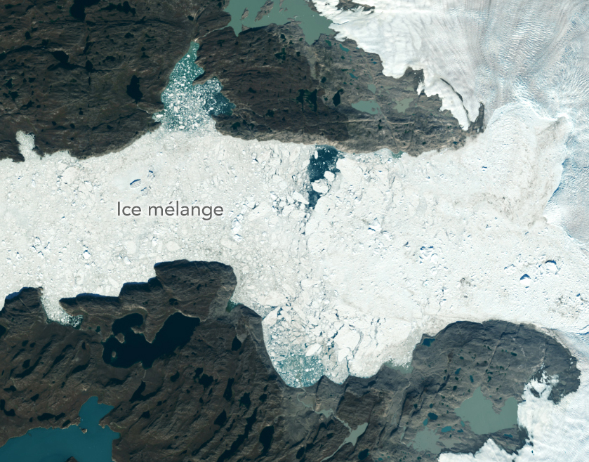
Satellites Show More Greenland Ice Lost Than Previously Estimated
A new, comprehensive analysis of satellite data finds that majority of glaciers on the landmass have retreated significantly.
Researchers Caution Use of Landsat’s Land-Specific Surface Reflectance Products for Long-Term Water Quality Studies
While floating algae, emergent aquatic vegetation, and historic surface scum can be tracked throughout the Landsat record, researchers warn data users that older Landsat sensors lack the precision needed to be used for water-column studies.
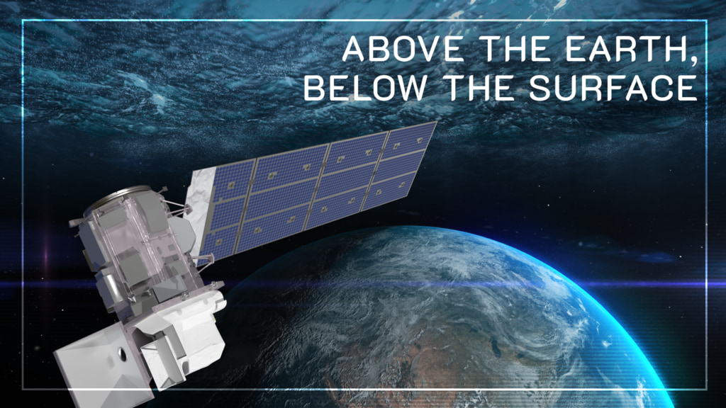
Above the Earth, Below the Surface: Landsat’s Role in Monitoring Water Quality
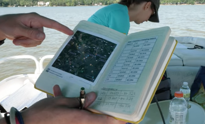
Safeguarding freshwater resources is crucial, and while scientists use a variety of ground-based techniques to gauge water quality, the Landsat program has provided water quality data from orbit for decades.
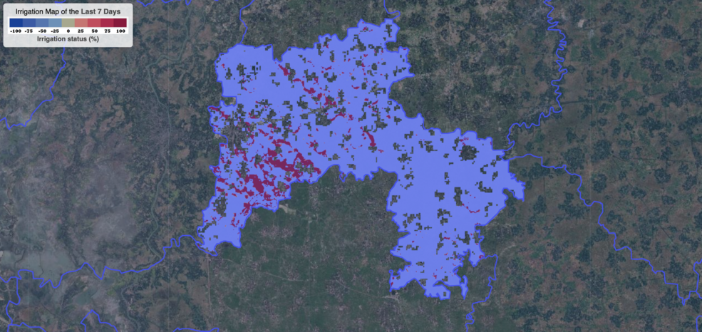
Satellite Data Helps Bangladeshi Farmers Save Water, Money, Energy
Satellite data are providing information to Bangladeshi farmers about how much water they are using, how much they have, and how much their crops need.
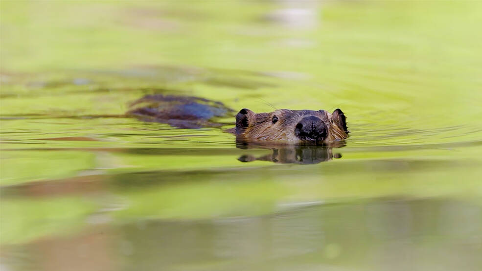
Researchers Become “Beaver Believers” After Measuring the Impacts of Rewilding
Satellites like Landsat are quantifying how beavers can have an outsized and positive impact on local ecosystems.
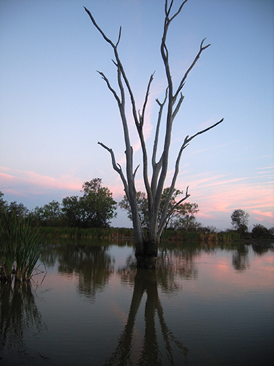
Landsat Insights: Wetland History in Your Hand
Practitioners managing the wellbeing of wetlands have a new tool at their disposal. The Wetland Insight Tool, developed by Geoscience Australia, provides a visual summary of 35+ years of wetland dynamics.