

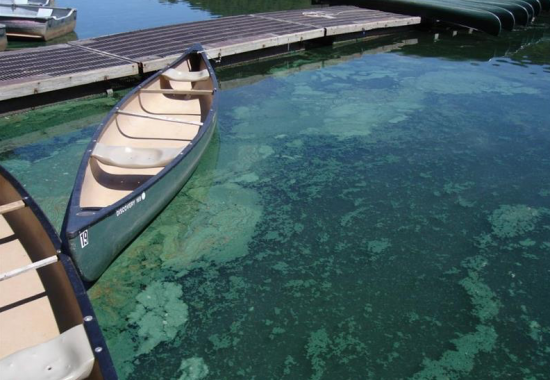
Downstream Consequences: How NASA Satellites Track Harmful Algal Blooms
Harmful algal blooms pose a health risk to fish and other wildlife as well as humans; satellites, including Landsat, are helping public health officials keep people safe.
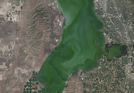
Landsat Satellite Data Warns of Harmful Algal Blooms
Landsat helps water resource managers know where to look for dangerous algal blooms in Utah lakes.
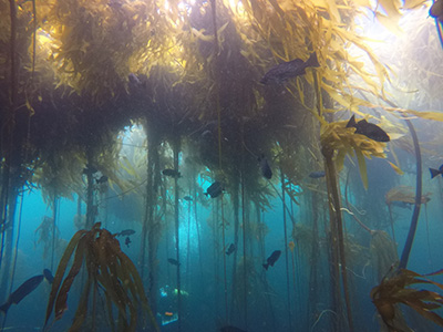
Landsat Shows the Collapse of Northern California Kelp Forests
Most of Northern California’s kelp forest ecosystem is gone, replaced by widespread ‘urchin barrens’ that may persist long into the future, according to a new study.
Landsat Assists ICESat-2 with First Global Survey of Freshwater Fluctuation
Lidar measurements of surface water level combined with Landsat-based surface water maps have enabled the first quantification of how humans impact the water cycle.
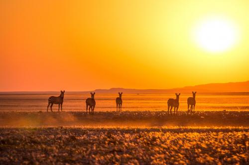
Landsat & Drones Used to Reconstruct Past Environmental Change
Vegetation cover along the Kuiseb River in the Namib Desert has increased over the last 35 years, Landsat has helped show.
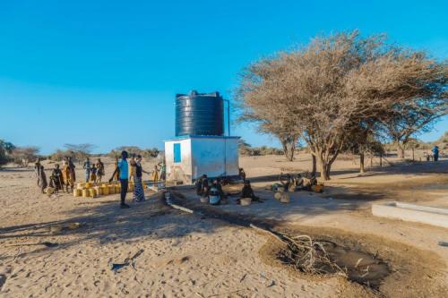
Keeping a Dry Eye on Drought in East Africa
The SERVIR team has developed models for groundwater demand based on Earth observations for parameters like rainfall and surface water from satellite missions.
