

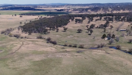
Protecting Water for Generations to Come in Australia
Australia’s natural resource regulator uses drones and satellite imagery to monitor water use and compliance with their water laws across New South Wales to ensure our water resources are protected for generations to come.
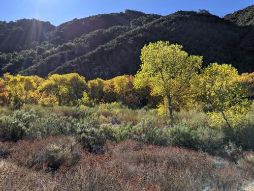
A Well-Rooted Study
Using Landsat to keep an eye on the trees offers an effective way to monitor groundwater along river corridors in the Southwest.
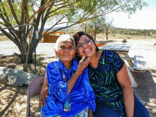
Connecting The Drops: Managing the Navajo Nation’s Water Resources with Satellites and Indigenous Knowledge
The NASA-funded Navajo Nation Drought Project has built a cloud-based web application that uses Landsat and Sentinel-2 data, among others, to improve drought reporting and management in the Navajo Nation.
AGU Panel Explores Environmental Impacts of the COVID-19 Pandemic, as Observed from Space
Landsat shows some of the ways in which COVID-19 is changing the environment.

Africa Flores: Using Satellite Data to Monitor Algal Blooms
Scientist and Landsat data user Africa Flores recently talked with Science Friday about her work.
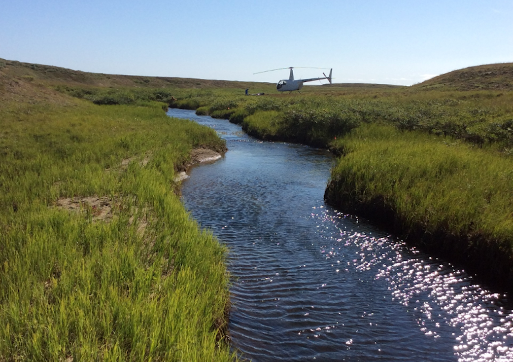
Satellite Data Meets Cellular DNA for Species of Interest
Scientists are combining data from water samples containing fish DNA with satellite data to find native fish and identify their habitats.
