
Landsat’s Role in Managing Wildland Fires
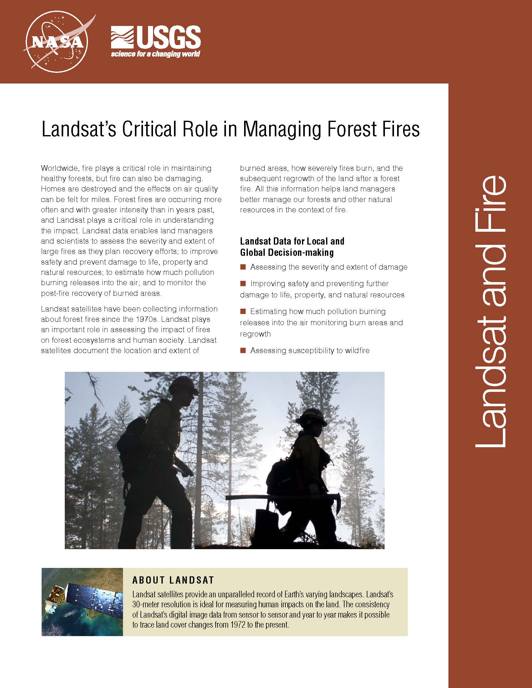
Worldwide, fire plays a critical role in maintaining healthy forests, but fire can also be damaging. Homes are destroyed and the effects on air quality can be felt for miles. Forest fires are occurring more often and with greater intensity than in years past, and Landsat plays a critical role in understanding the impact. Landsat data enables land managers and scientists to assess the severity and extent of large fires as they plan recovery efforts; to improve safety and prevent damage to life, property and natural resources; to estimate how much pollution burning releases into the air; and to monitor the post-fire recovery of burned areas. Landsat satellites have been collecting information about forest fires since the 1970s. Landsat plays an important role in assessing the impact of fires on forest ecosystems and human society. Landsat satellites document the location and extent of burned areas, how severely fires burn, and the subsequent regrowth of the land after a forest fire. All this information helps land managers better manage our forests and other natural resources in the context of fire.
Landsat 5 Satellite Helps Emergency Managers Fight Largest Fire in Arizona History
Contributor: Rob Gutro, NASA Goddard Space Flight Center The largest fire in the history of the state of Arizona continues to burn and emergency managers and responders are using satellite
Arizona Wildfire Sweeps Through Apache National Forest
Source: Jan Nelson, USGS / Rob Gutro, NASA Goddard Space Flight Center The second largest fire in Arizona history, the Wallow Fire is graphically depicted by this Landsat image, taken
Landsat part of SERVIR's Fire Management System Support in Guatemala
Contributors: Janet L. Anderson, NASA Marshall Space Flight Center In the last few years, fire incidence in Guatemala has increased, damaging and transforming wild areas into degraded forests, savannas and
Landsat Reveal Surprising Connection Between Beetle Attacks, Wildfire
If your summer travels have taken you across the Rocky Mountains, you’ve probably seen large swaths of reddish trees dotting otherwise green forests. While it may look like autumn has
Recent Virginia Wildfires Captured by Landsat 7 Satellite
Source: USGS Approximately 6,000 acres of burned area is visible from space. On February 11, the U.S. Geological Survey’s satellite, Landsat 7, captured an image of the fires south of Richmond
Fire Prevention in Spain
Science brief summary by: Laura E. P. Rocchio A group of European researchers have used Landsat data collected over a quarter of a century to evaluate fire management methods in
