
Landsat’s Role in Managing Wildland Fires
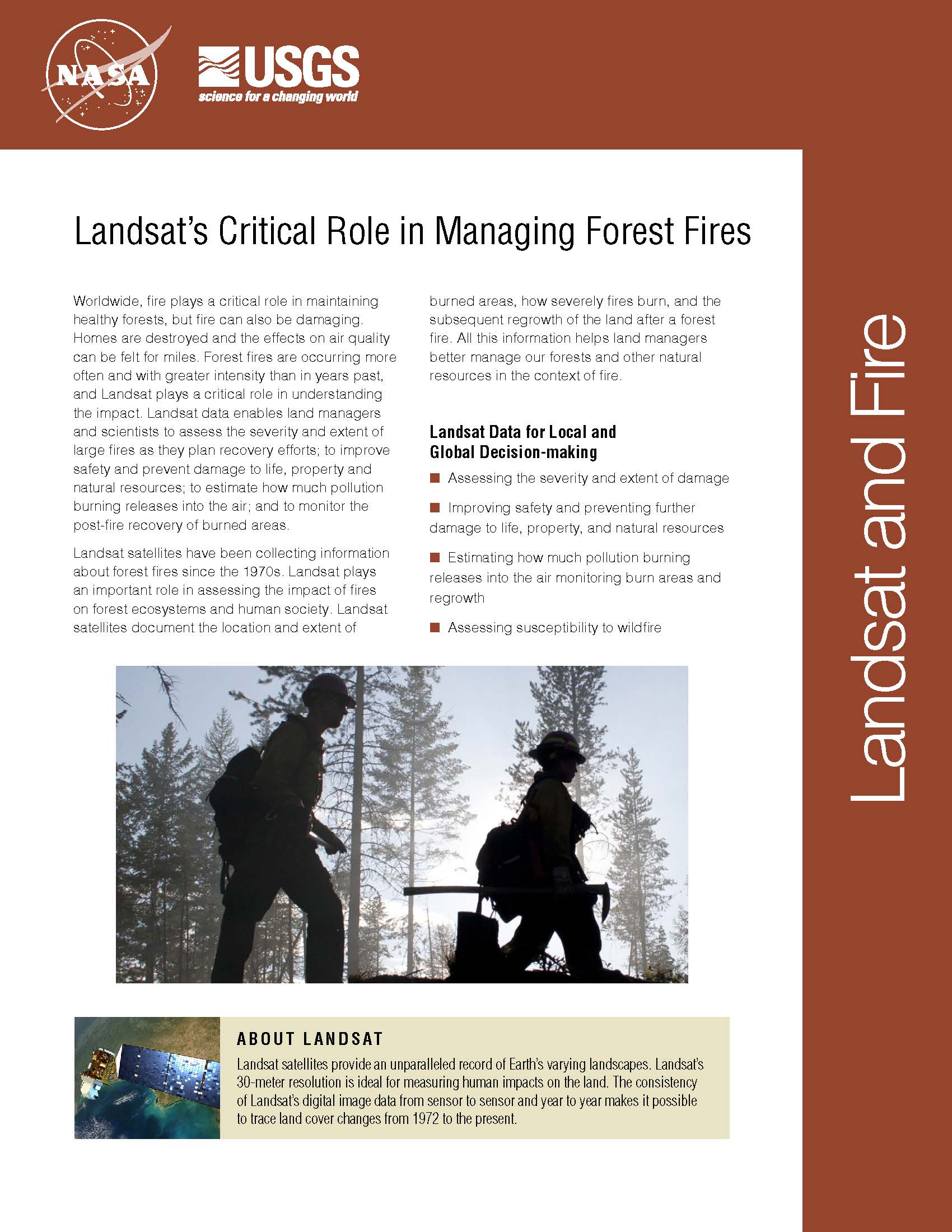
Worldwide, fire plays a critical role in maintaining healthy forests, but fire can also be damaging. Homes are destroyed and the effects on air quality can be felt for miles. Forest fires are occurring more often and with greater intensity than in years past, and Landsat plays a critical role in understanding the impact. Landsat data enables land managers and scientists to assess the severity and extent of large fires as they plan recovery efforts; to improve safety and prevent damage to life, property and natural resources; to estimate how much pollution burning releases into the air; and to monitor the post-fire recovery of burned areas. Landsat satellites have been collecting information about forest fires since the 1970s. Landsat plays an important role in assessing the impact of fires on forest ecosystems and human society. Landsat satellites document the location and extent of burned areas, how severely fires burn, and the subsequent regrowth of the land after a forest fire. All this information helps land managers better manage our forests and other natural resources in the context of fire.
Climate Models Project Increase in U.S. Wildfire Risk
Scientists using NASA satellite data and climate models have projected drier conditions likely will cause increased fire activity across the United States in coming decades. Other findings about U.S. wildfires,
Landsat Shows Yellowstone Burn Recovery
A combination of lightning, drought and human activity caused fires to scorch more than one-third of Yellowstone National Park in the summer of 1988. Within a year, burn scars cast
Satellite Data Shows that Kirtland's Warblers Prefer Forests After Fire
Kirtland’s warblers are an endangered species of lightweight little birds with bright yellow-bellies that summer in North America and winter in the Bahamas. But be it their winter or their
Landsat Image Maps Aid Fire Recovery Efforts
Contributor: Melissa Quijada, NASA Goddard Space Flight Center NASA satellite images regularly map active fires around the world. Once a fire is out, satellite data and maps are also used by
Landsat 5 Satellite Helps Emergency Managers Fight Largest Fire in Arizona History
Contributor: Rob Gutro, NASA Goddard Space Flight Center The largest fire in the history of the state of Arizona continues to burn and emergency managers and responders are using satellite
Arizona Wildfire Sweeps Through Apache National Forest
Source: Jan Nelson, USGS / Rob Gutro, NASA Goddard Space Flight Center The second largest fire in Arizona history, the Wallow Fire is graphically depicted by this Landsat image, taken
