
Landsat’s Role in Managing Wildland Fires
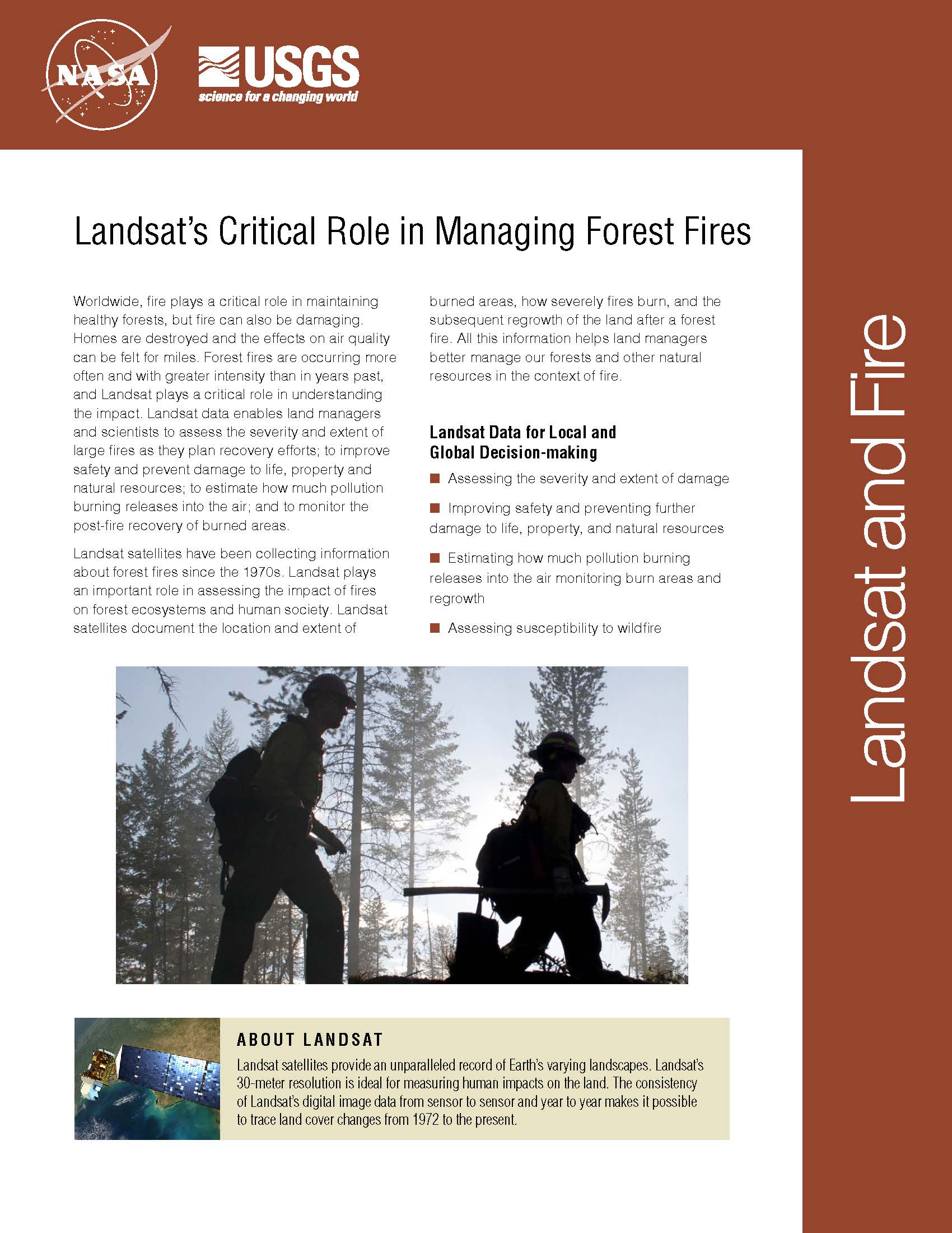
Worldwide, fire plays a critical role in maintaining healthy forests, but fire can also be damaging. Homes are destroyed and the effects on air quality can be felt for miles. Forest fires are occurring more often and with greater intensity than in years past, and Landsat plays a critical role in understanding the impact. Landsat data enables land managers and scientists to assess the severity and extent of large fires as they plan recovery efforts; to improve safety and prevent damage to life, property and natural resources; to estimate how much pollution burning releases into the air; and to monitor the post-fire recovery of burned areas. Landsat satellites have been collecting information about forest fires since the 1970s. Landsat plays an important role in assessing the impact of fires on forest ecosystems and human society. Landsat satellites document the location and extent of burned areas, how severely fires burn, and the subsequent regrowth of the land after a forest fire. All this information helps land managers better manage our forests and other natural resources in the context of fire.
Improved Forest Disturbance Monitoring via an Algorithm Ensemble
Forest resource managers, natural resource policy makers, and global change scientists need comprehensive, consistent, and up-to-date information on trends in forest cover and condition. This information is essential for understanding carbon budgets, predicting fire behavior, quantifying biodiversity, and hydrologic modeling.
A Landsat-based Tool to Track Cheatgrass, Monitor Potential Wildfire Hazard
Landsat 8 imagery is being used to identify increased wildfire susceptibility due to the invasion of cheatgrass on rangelands.
44,000 Landsat Scenes and Counting
LANDFIRE National used approximately 5,340 Landsat scenes to map CONUS, Alaska and Hawaii. Landfire continues to rely on Landsat imagery for updates. There were 13,185 scenes processed from 1984-2009 to capture landscape change for CONUS for the LANDFIRE 2008 update (representing change 1999-2008). Additional years are included because the algorithm used to identify change needed a longer time horizon.
Landsat 8 Helps Map Fires during Long, Busy Alaska Fire Season
Lighting ignited the Castle Rocks fire in the deep backcountry of Denali National Park and Preserve in early July, 2013. Over the next two months, the Castle Rocks fire would fluctuate between periods of activity and inactivity depending on changing weather conditions, eventually burning more than 12,900 acres by the time it was declared out on September 4, 2013. Remote even by Alaska standards, the Castle Rocks fire plotted approximately 100 miles to the west of Denali park headquarters and 160 miles southwest of Fairbanks.
Wildfire Science Returns to Rim Fire
Although dousing the flames was foremost in people’s minds during the recent Rim Fire in Stanislaus National Forest and Yosemite National Park, U.S. Geological Survey scientific work continues well after the fire is out. USGS scientists are continuing their critical research characterizing the hidden dangers faced after large wildfires.
Mapping the World with Landsat
Speeding around the Earth at 16,800 mph (27,000 kph), two Landsat satellites are quietly, expertly watching and recording changes in Earth’s lands from space. They are gathering data for people to make maps–all kinds of wonderful maps–of our cities growing, rivers flooding, lava flowing from volcanic eruptions, forests expanding or shrinking, crops greening through the growing season, and even of evidence of pollution.
