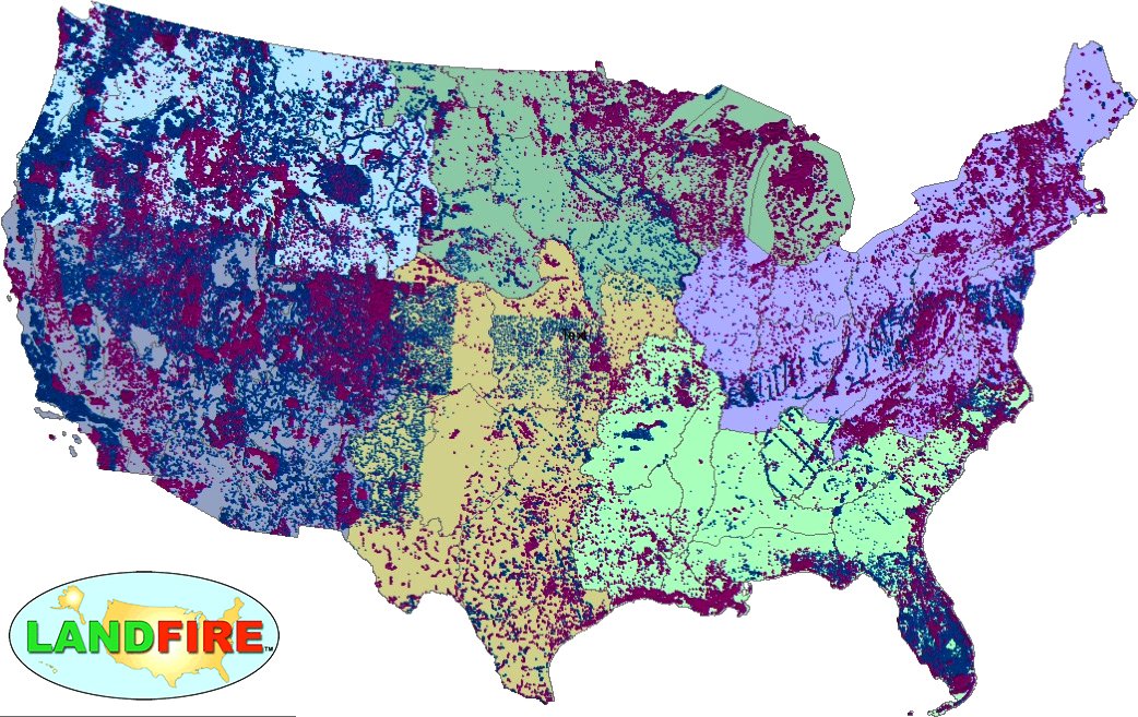
LANDFIRE Remap Is Here
LANDFIRE has released its Remap dataset; new techniques and new data provide significant improvement.

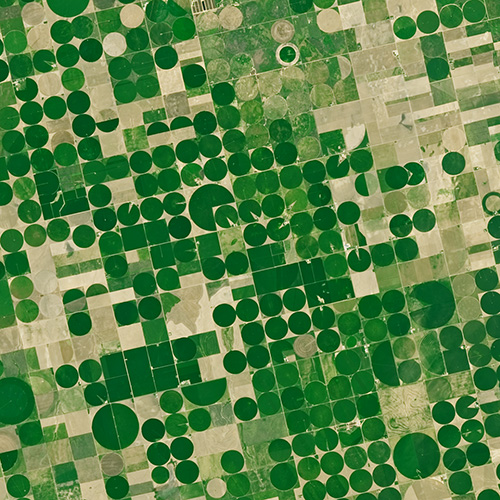
Agriculture: The View From Space
The Food and Agricultural Organization of the United Nations published an audio article about using geospatial data, including Landsat, to monitor would agriculture on soundcloud.

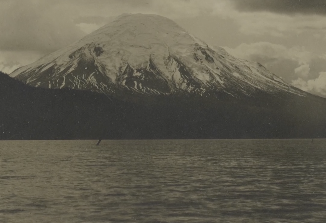
40 Years After Mount St. Helens’ Eruption, 40 Years of Forest Recovery
Landsat data (since 1972) is helping scientists Sean Healey and Zhiqiang Yang of the Rocky Mountain Research Station (U.S. Forest Service) study the long-term impact of the May 18, 1980, eruption of Mount St. Helens.

Getting a Bird’s-Eye View of Biodiversity with Landsat
This bird’s-eye view of the relationship between temperature and bird biodiversity will help conservationists figure out where to prioritize their efforts in a warming world.

Landsat: Farming Data From Space
With Landsat data, farmers can find new ways to grow more crops with less water.

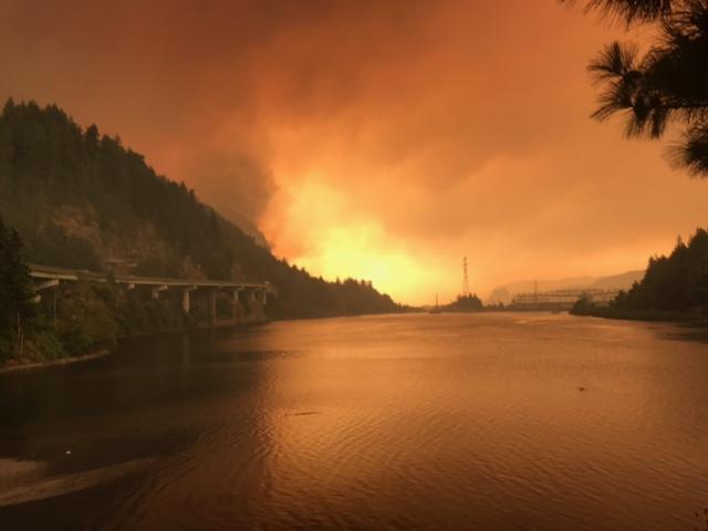
Fire & Water: How Wildfires Can Impact Drinking Water
Fires in forested watersheds that support drinking water supplies can introduce contaminants that overwhelm current treatment capabilities. Earth observation data are helping.

