
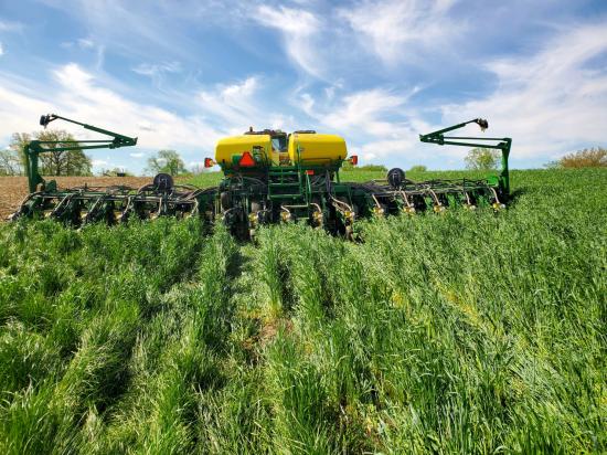
Shoring up the Corn Belt’s Soil Health
Soil is the foundation of our food systems, and sustainable farming depends upon healthy soil, which has impacts far beyond the field on air, water and climate.
Landsat 9 at Work
For five decades, we have relied on Landsat’s high-quality, science-quality observations to understand and protect our home planet.
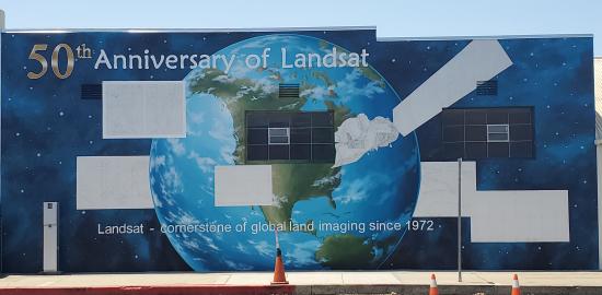
History within the Mural
A mural celebrating Landsat’s 50 year history is being painted in Lompoc, California.
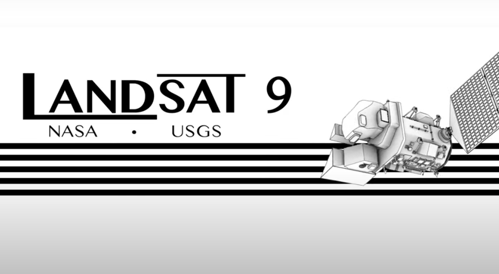
NASA Invites Media to Launch of Landsat 9 From the West Coast
Information about media accreditation for the upcoming launch of the Landsat 9 satellite.

Remembering John Dwyer, a Longtime Landsat Stalwart
Dwyer was an explorer of new technologies and of data. Well-versed on both the science and system development sides of remote sensing, he was a natural fit at EROS.
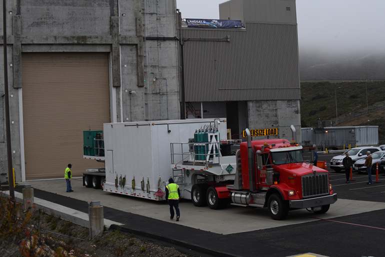
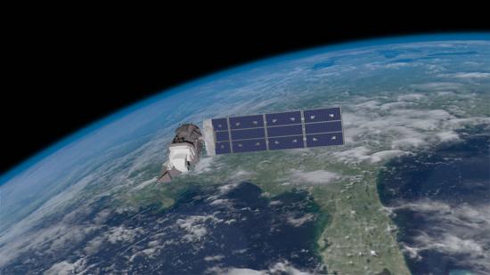
Landsat 9 Arrives at Vandenberg Space Force Base in Preparation for Launch
The Landsat 9 satellite has arrived at the VSFB on the central coast of California.

NASA Invites You to Create Landsat-Inspired Arts & Crafts
Get ready to do some Landsat-inspired crafting and art making as we get closer to Landsat 9’s upcoming September launch.
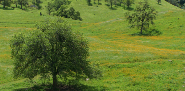
California’s Iconic Blue Oak Woodlands Threatened by Hotter, More Frequent Droughts
California’s blue oak woodlands have decreased by more than 1,200 square kilometers.
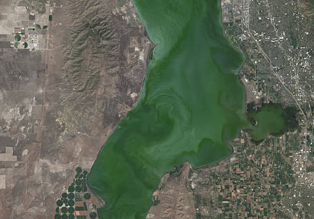
Landsat Satellite Data Warns of Harmful Algal Blooms
Landsat helps water resource managers know where to look for dangerous algal blooms in Utah lakes.
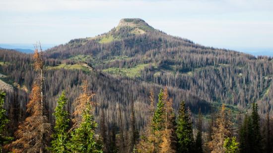
Twenty Years of Bark Beetle Activity Tracked Across Colorado Forests
More than two decades worth of Landsat satellite imagery was used to quantify how beetle outbreaks have impacted high-elevations forests in Colorado, southern Wyoming, and northern New Mexico.
Economics of Nature: Mapping Liberia’s Ecosystems to Understand Their Value
The Liberian government, with the help of NASA and Conservation International, is using Landsat and GEDI data to estimate the country’s natural capital.
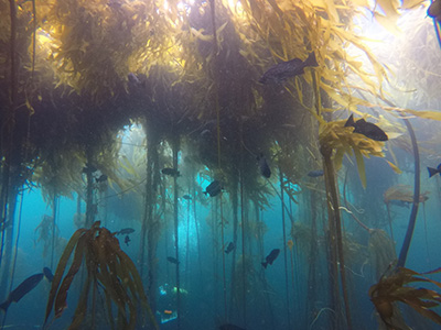
Landsat Shows the Collapse of Northern California Kelp Forests
Most of Northern California’s kelp forest ecosystem is gone, replaced by widespread ‘urchin barrens’ that may persist long into the future, according to a new study.
Landsat Assists ICESat-2 with First Global Survey of Freshwater Fluctuation
Lidar measurements of surface water level combined with Landsat-based surface water maps have enabled the first quantification of how humans impact the water cycle.
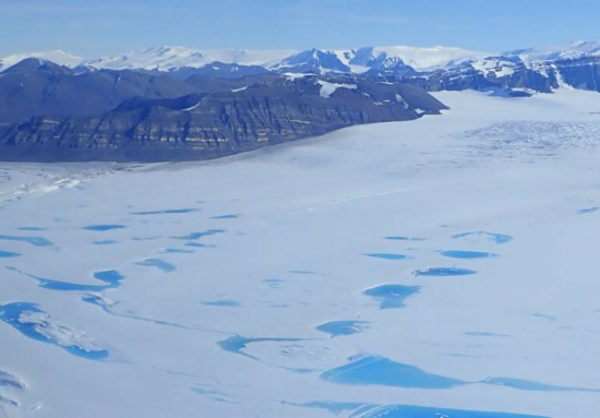
Extreme Melt on Antarctica’s George VI Ice Shelf
Antarctica’s George VI Ice Shelf experienced record melting during the 2019-2020 summer season.
Landsat & Drones Used to Reconstruct Past Environmental Change
Vegetation cover along the Kuiseb River in the Namib Desert has increased over the last 35 years, Landsat has helped show.
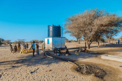
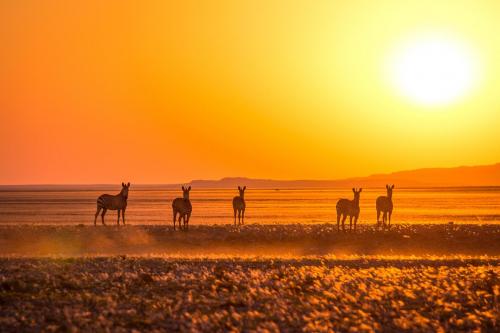
Keeping a Dry Eye on Drought in East Africa
The SERVIR team has developed models for groundwater demand based on Earth observations for parameters like rainfall and surface water from satellite missions.
Quantifying Forests’ Impacts on Global Carbon Budget with Satellites
A new method, fusing data from many sources, has been developed for quantifying forests’ role as both carbon sink and carbon source.
Landsat Satellite Data Warns of Harmful Algal Blooms
Landsat helps water resource managers know where to look for dangerous algal blooms in Utah lakes.
Twenty Years of Bark Beetle Activity Tracked Across Colorado Forests
More than two decades worth of Landsat satellite imagery was used to quantify how beetle outbreaks have impacted high-elevations forests in Colorado, southern Wyoming, and northern New Mexico.
Economics of Nature: Mapping Liberia’s Ecosystems to Understand Their Value
The Liberian government, with the help of NASA and Conservation International, is using Landsat and GEDI data to estimate the country’s natural capital.
Landsat Shows the Collapse of Northern California Kelp Forests
Most of Northern California’s kelp forest ecosystem is gone, replaced by widespread ‘urchin barrens’ that may persist long into the future, according to a new study.
Landsat Assists ICESat-2 with First Global Survey of Freshwater Fluctuation
Lidar measurements of surface water level combined with Landsat-based surface water maps have enabled the first quantification of how humans impact the water cycle.
Extreme Melt on Antarctica’s George VI Ice Shelf
Antarctica’s George VI Ice Shelf experienced record melting during the 2019-2020 summer season.
Landsat & Drones Used to Reconstruct Past Environmental Change
Vegetation cover along the Kuiseb River in the Namib Desert has increased over the last 35 years, Landsat has helped show.
Keeping a Dry Eye on Drought in East Africa
The SERVIR team has developed models for groundwater demand based on Earth observations for parameters like rainfall and surface water from satellite missions.
Quantifying Forests’ Impacts on Global Carbon Budget with Satellites
A new method, fusing data from many sources, has been developed for quantifying forests’ role as both carbon sink and carbon source.
