

Forty Years of Change in Louisiana’s Wetlands
Landsat images show that in the past 40 years alone, Louisiana’s coastal wetlands have undergone substantial changes.

Hispaniola’s Changing Forests
Haiti lost nearly half of its primary forests between 1996 and 2022, with fires and tree-cutting being major drivers of loss, according to a new study.

NASA Celebrates Earth Day with Your Name in Landsat
On April, 22, 2025, NASA celebrated Earth Day as only NASA can: with beautiful Landsat imagery of our home planet.

Data Wrangling with Dana Ostrenga
Data interoperability expert Dana Ostrenga explains how government and commercial Earth observation satellites provide broader support to the scientific community when used together.

Mapping Forest Damage from Hurricane Milton on Florida’s West Coast
Rising sea levels and increased ocean temperatures are supercharging hurricanes. Using satellite data can help monitor vulnerable ecosystems.

Data as Good as it Gets: A Discussion with Brian Markham
Why do we calibrate Landsat data? We spoke with Brian Markham, a key figure of Landsat calibration science for four decades. He said that it all comes down to this: “If we’re using a system to quantify changes on the Earth, we must make sure the system we’re using is not changing.”
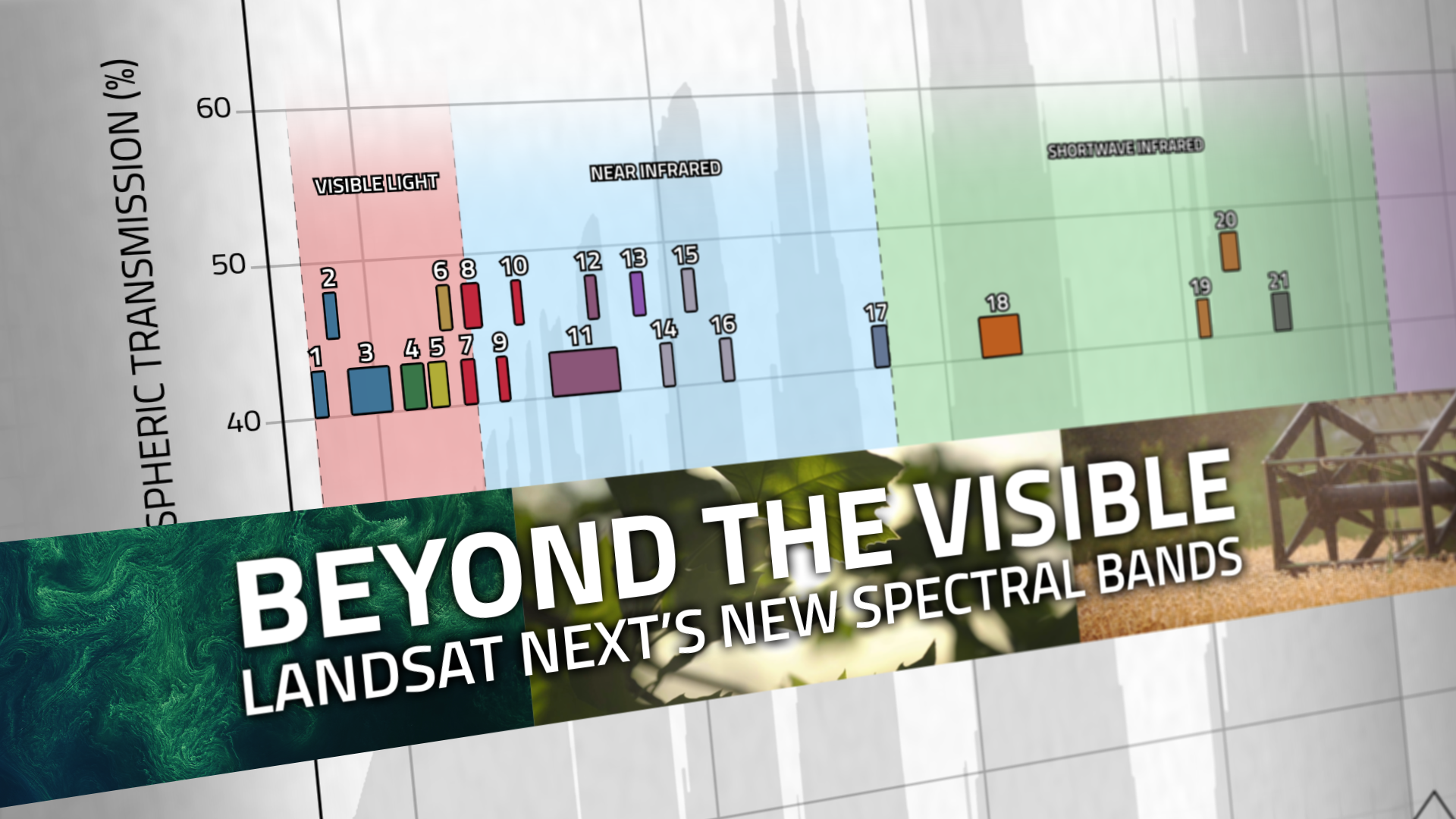
Beyond the Visible: Landsat Next’s New Spectral Bands
With Landsat Next’s 26 new spectral bands, we’ll be able to see our planet like never before. Landsat Next’s enhanced capabilities will provide scientists, farmers, and decision-makers with critical data to tackle global challenges.
FARMing with Data: OpenET Launches new Tool for Farmers and Ranchers
A NASA and U.S. Geological Survey (USGS)-supported research and development team, OpenET, is making it easier for farmers and ranchers to manage their water resources with the FARMS tool.
NASA Celebrates Earth Day with Your Name in Landsat
On April, 22, 2025, NASA celebrated Earth Day as only NASA can: with beautiful Landsat imagery of our home planet.
Data Wrangling with Dana Ostrenga
Data interoperability expert Dana Ostrenga explains how government and commercial Earth observation satellites provide broader support to the scientific community when used together.
Mapping Forest Damage from Hurricane Milton on Florida’s West Coast
Rising sea levels and increased ocean temperatures are supercharging hurricanes. Using satellite data can help monitor vulnerable ecosystems.
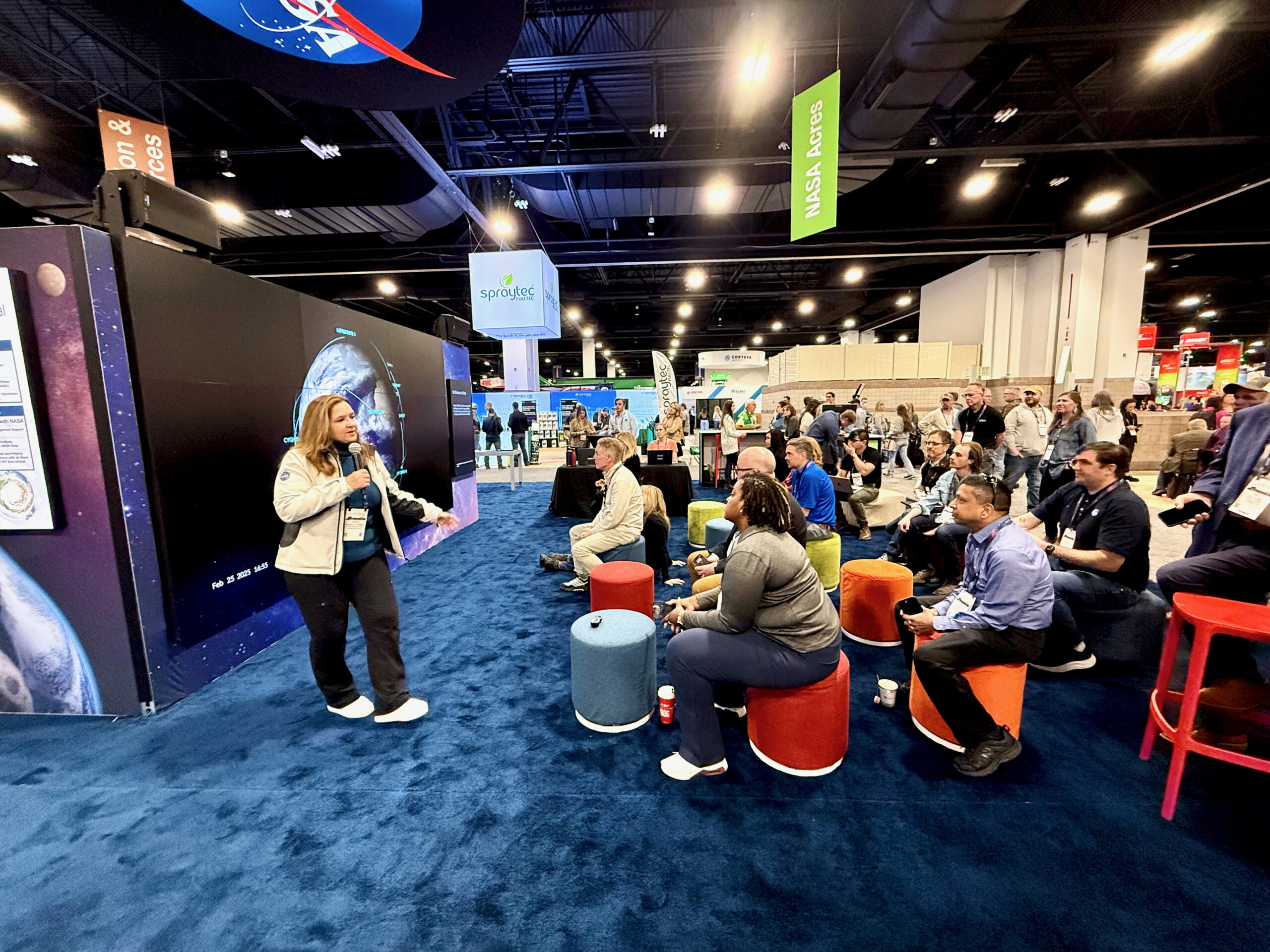
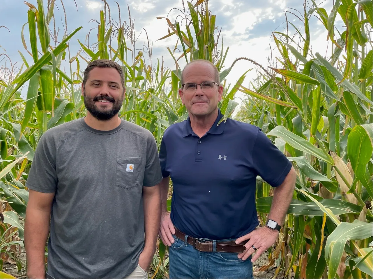
Connecting Farmers with NASA Data at Commodity Classic
The most common question at the NASA booth at Commodity Classic was, “What does NASA do for agriculture?” The answer was perhaps best summed up by Karen St. Germain, Director of NASA’s Earth Science Division, in a Hyperwall talk delivered at the convention. St. Germain laid out how NASA data could strengthen food security, improve agricultural resilience, and help farmers do what they do best: farm.
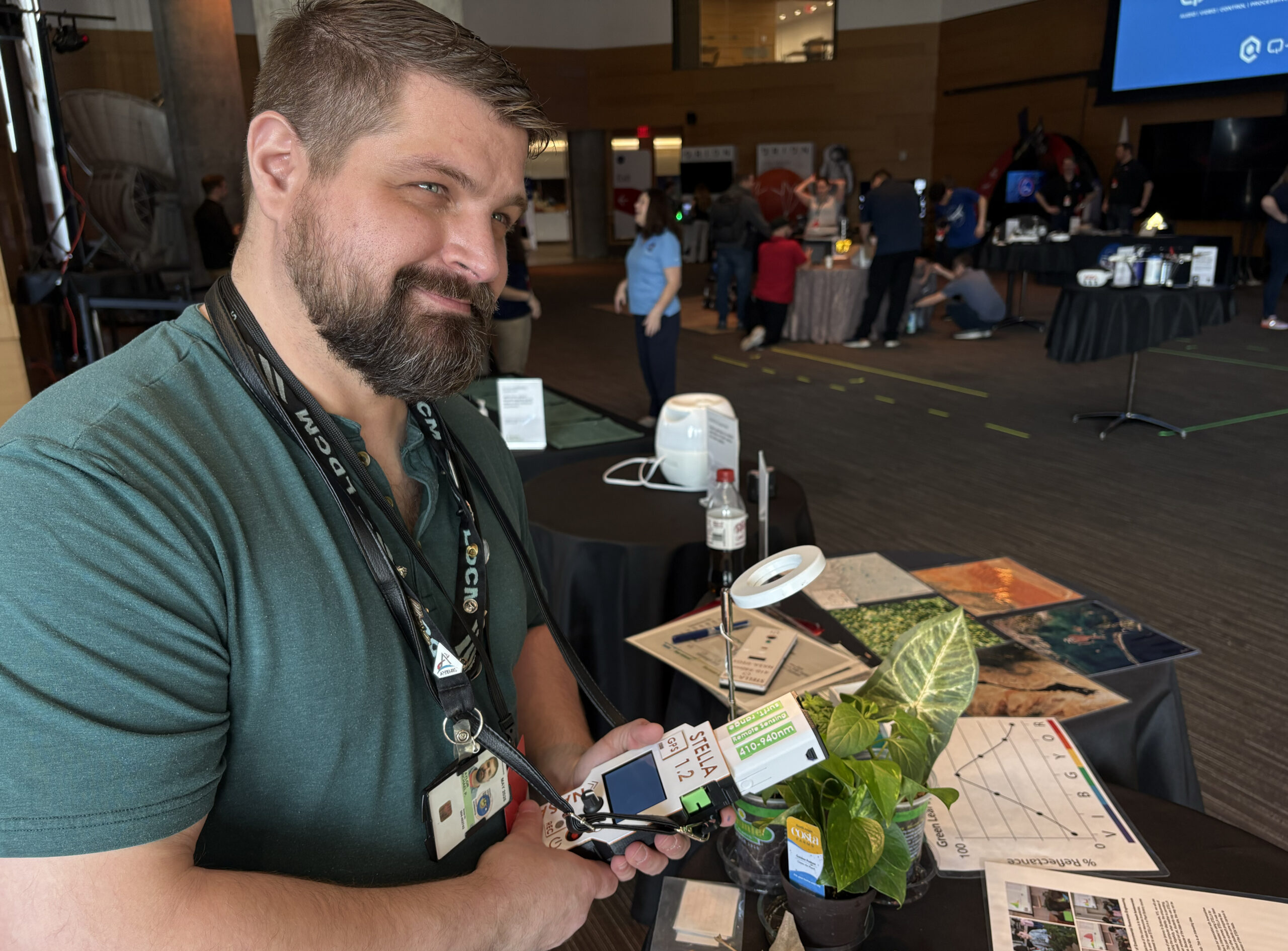
Landsat at South by Southwest 2025
On March 6-9, over 22,000 explored the Austin Public Library for the South by Southwest Festival (SXSW). At the NASA booth, they explored the power of Landsat.
Data as Good as it Gets: A Discussion with Brian Markham
Why do we calibrate Landsat data? We spoke with Brian Markham, a key figure of Landsat calibration science for four decades. He said that it all comes down to this: “If we’re using a system to quantify changes on the Earth, we must make sure the system we’re using is not changing.”
Beyond the Visible: Landsat Next’s New Spectral Bands
With Landsat Next’s 26 new spectral bands, we’ll be able to see our planet like never before. Landsat Next’s enhanced capabilities will provide scientists, farmers, and decision-makers with critical data to tackle global challenges.
FARMing with Data: OpenET Launches new Tool for Farmers and Ranchers
A NASA and U.S. Geological Survey (USGS)-supported research and development team, OpenET, is making it easier for farmers and ranchers to manage their water resources with the FARMS tool.
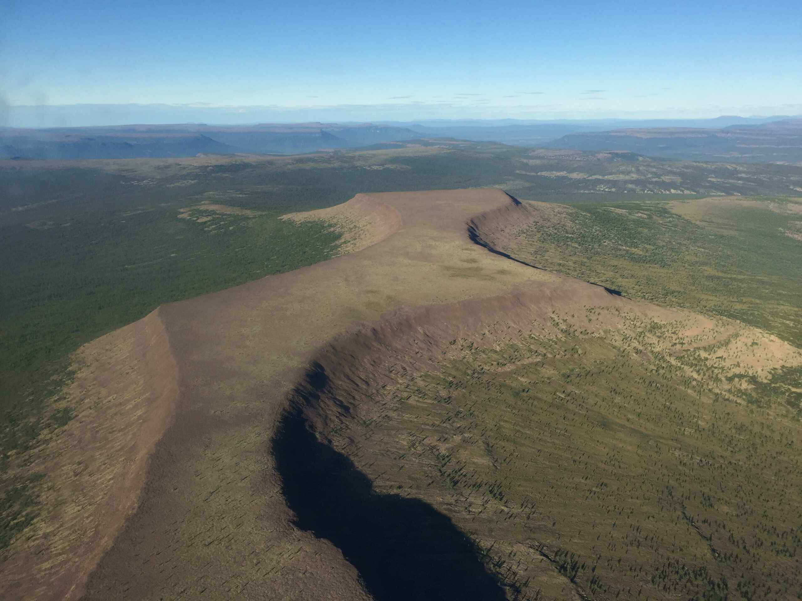
NASA Study Finds Potential Carbon Sink in Boreal Forest Growth
New research led by Landsat 8/9 Project Scientist Chris Neigh used Landsat and ICESat-2 data to investigate how boreal forests growth could sequester carbon.
NASA Celebrates Earth Day with Your Name in Landsat
On April, 22, 2025, NASA celebrated Earth Day as only NASA can: with beautiful Landsat imagery of our home planet.
Data Wrangling with Dana Ostrenga
Data interoperability expert Dana Ostrenga explains how government and commercial Earth observation satellites provide broader support to the scientific community when used together.
Mapping Forest Damage from Hurricane Milton on Florida’s West Coast
Rising sea levels and increased ocean temperatures are supercharging hurricanes. Using satellite data can help monitor vulnerable ecosystems.
Connecting Farmers with NASA Data at Commodity Classic
The most common question at the NASA booth at Commodity Classic was, “What does NASA do for agriculture?” The answer was perhaps best summed up by Karen St. Germain, Director of NASA’s Earth Science Division, in a Hyperwall talk delivered at the convention. St. Germain laid out how NASA data could strengthen food security, improve agricultural resilience, and help farmers do what they do best: farm.
Landsat at South by Southwest 2025
On March 6-9, over 22,000 explored the Austin Public Library for the South by Southwest Festival (SXSW). At the NASA booth, they explored the power of Landsat.
Data as Good as it Gets: A Discussion with Brian Markham
Why do we calibrate Landsat data? We spoke with Brian Markham, a key figure of Landsat calibration science for four decades. He said that it all comes down to this: “If we’re using a system to quantify changes on the Earth, we must make sure the system we’re using is not changing.”
Beyond the Visible: Landsat Next’s New Spectral Bands
With Landsat Next’s 26 new spectral bands, we’ll be able to see our planet like never before. Landsat Next’s enhanced capabilities will provide scientists, farmers, and decision-makers with critical data to tackle global challenges.
FARMing with Data: OpenET Launches new Tool for Farmers and Ranchers
A NASA and U.S. Geological Survey (USGS)-supported research and development team, OpenET, is making it easier for farmers and ranchers to manage their water resources with the FARMS tool.
NASA Study Finds Potential Carbon Sink in Boreal Forest Growth
New research led by Landsat 8/9 Project Scientist Chris Neigh used Landsat and ICESat-2 data to investigate how boreal forests growth could sequester carbon.
