
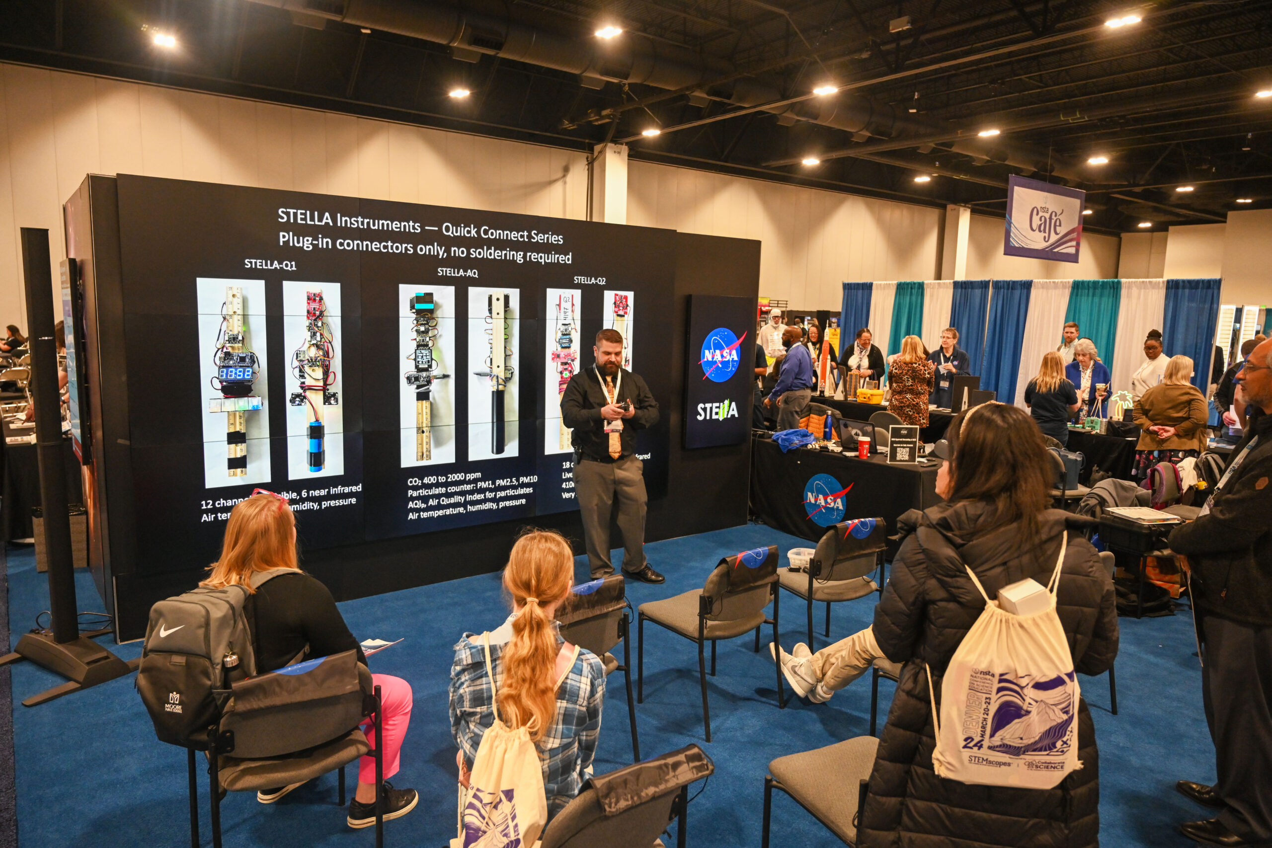
Bringing Earth Observations into Science Classrooms
Landsat outreach supported the NASA booth at the National Science Teacher’s Association annual meeting in Denver.
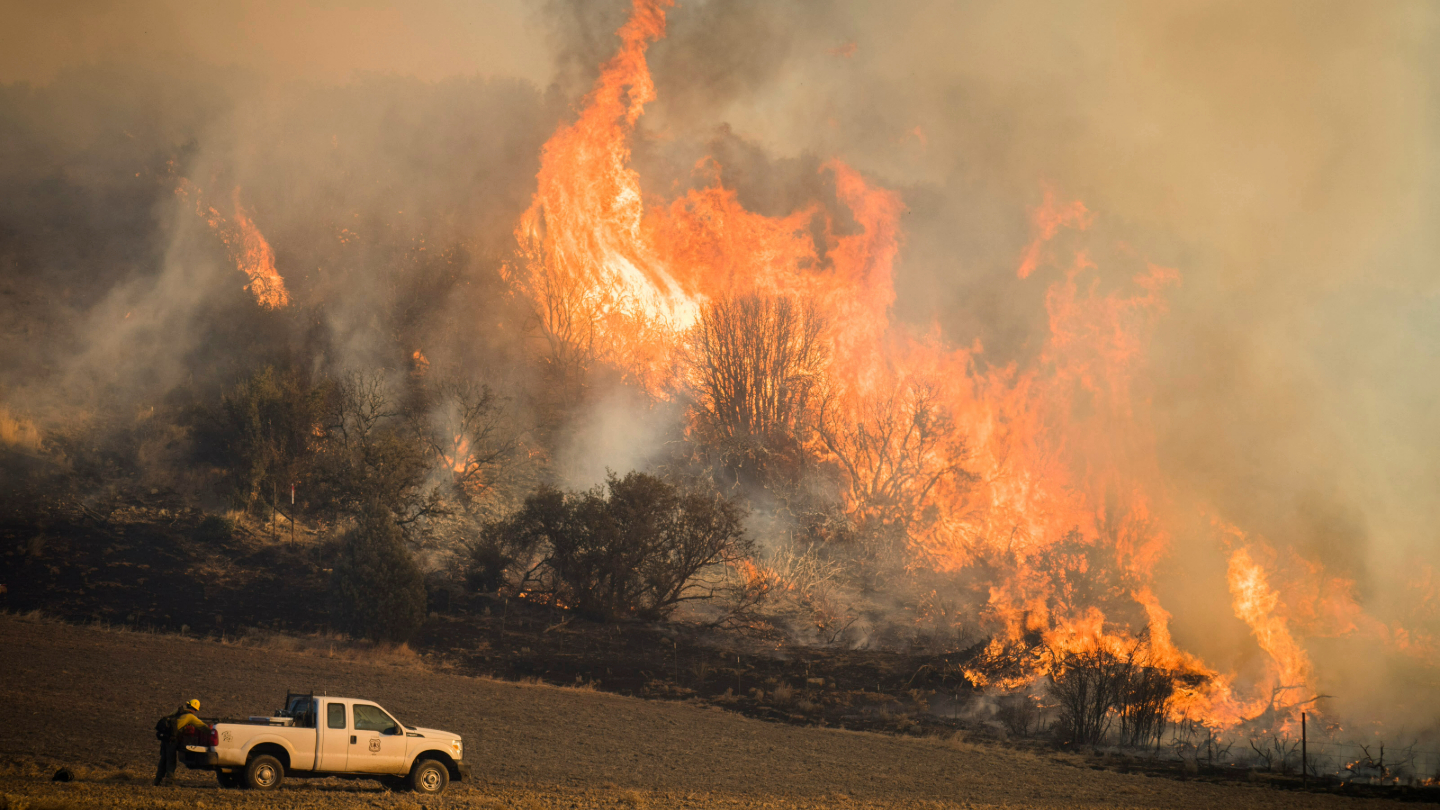
Satellites Show How Drought Changes Wildfire Recovery in the West
A new study using NASA satellite data reveals how drought affects the recovery of western ecosystems from fire, a result that could provide meaningful information for conservation efforts.
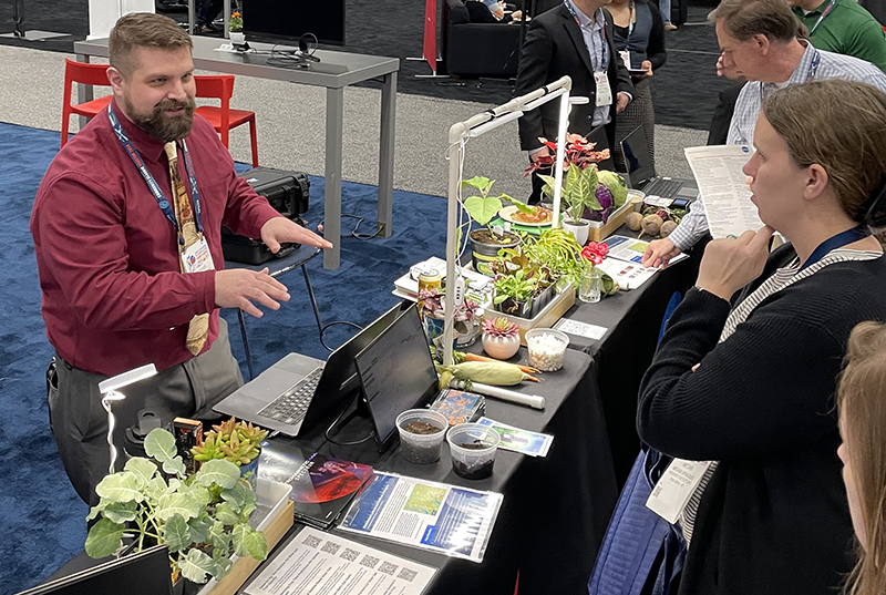
Commodity Classic: Landsat Supports Farmers and Food Production
Landsat was part of the NASA Earth Science presence at the 2024 Commodity Classic in Houston this year.
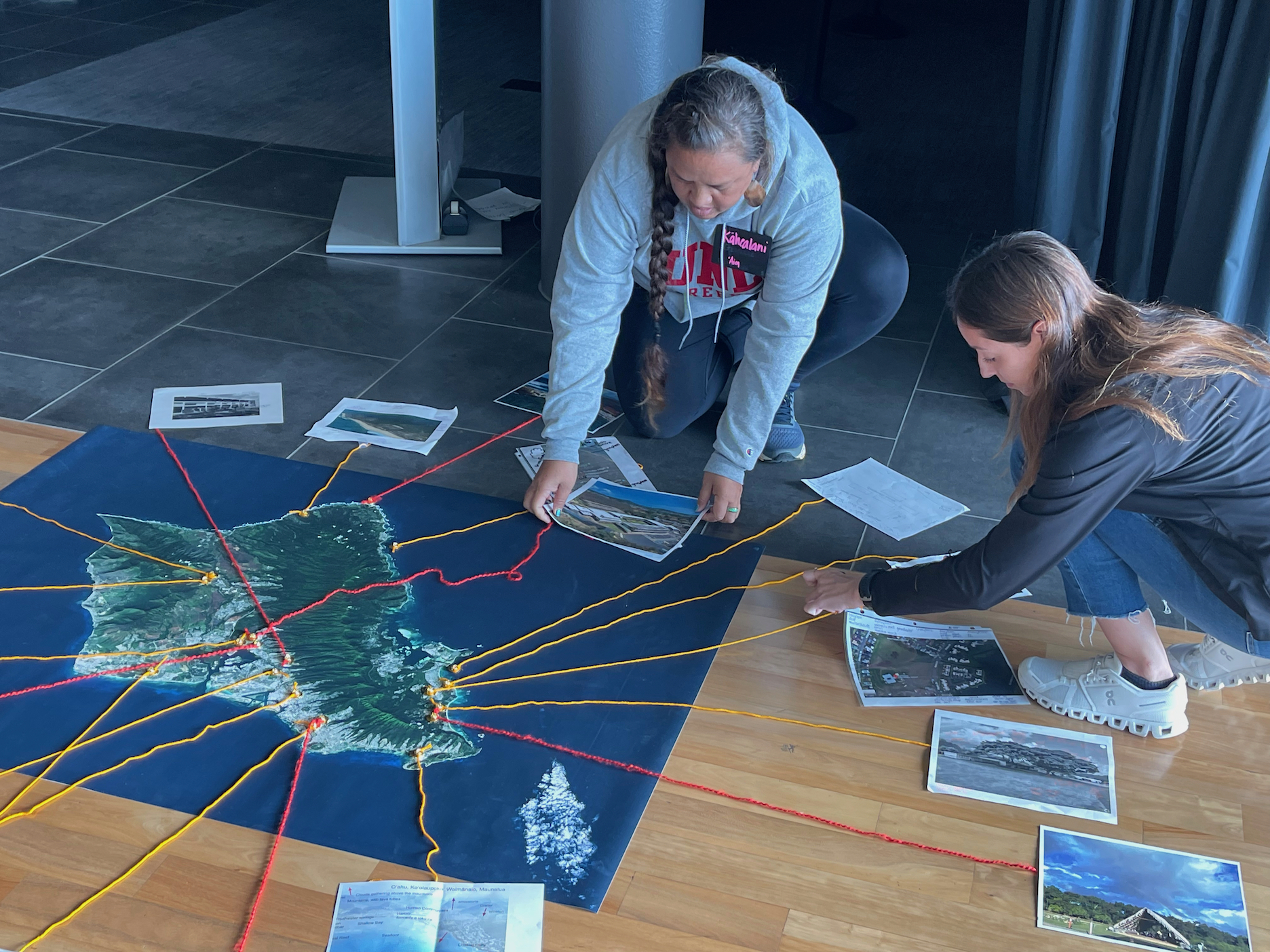
Landsat Goes to Hawaiʻi to Help Inspire Climate Change Connections
During two recent Earth to Sky Climate Science Education workshops, participants learned how Landsat imagery helps us assess changes in land cover and land use.
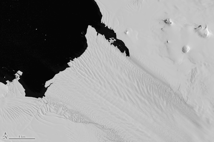
Antarctic History Revealed by Landsat
New research shows that while some Antarctic ice shelves have been thinning since at least the 1970s, widespread thinning accelerated in the 1990s.
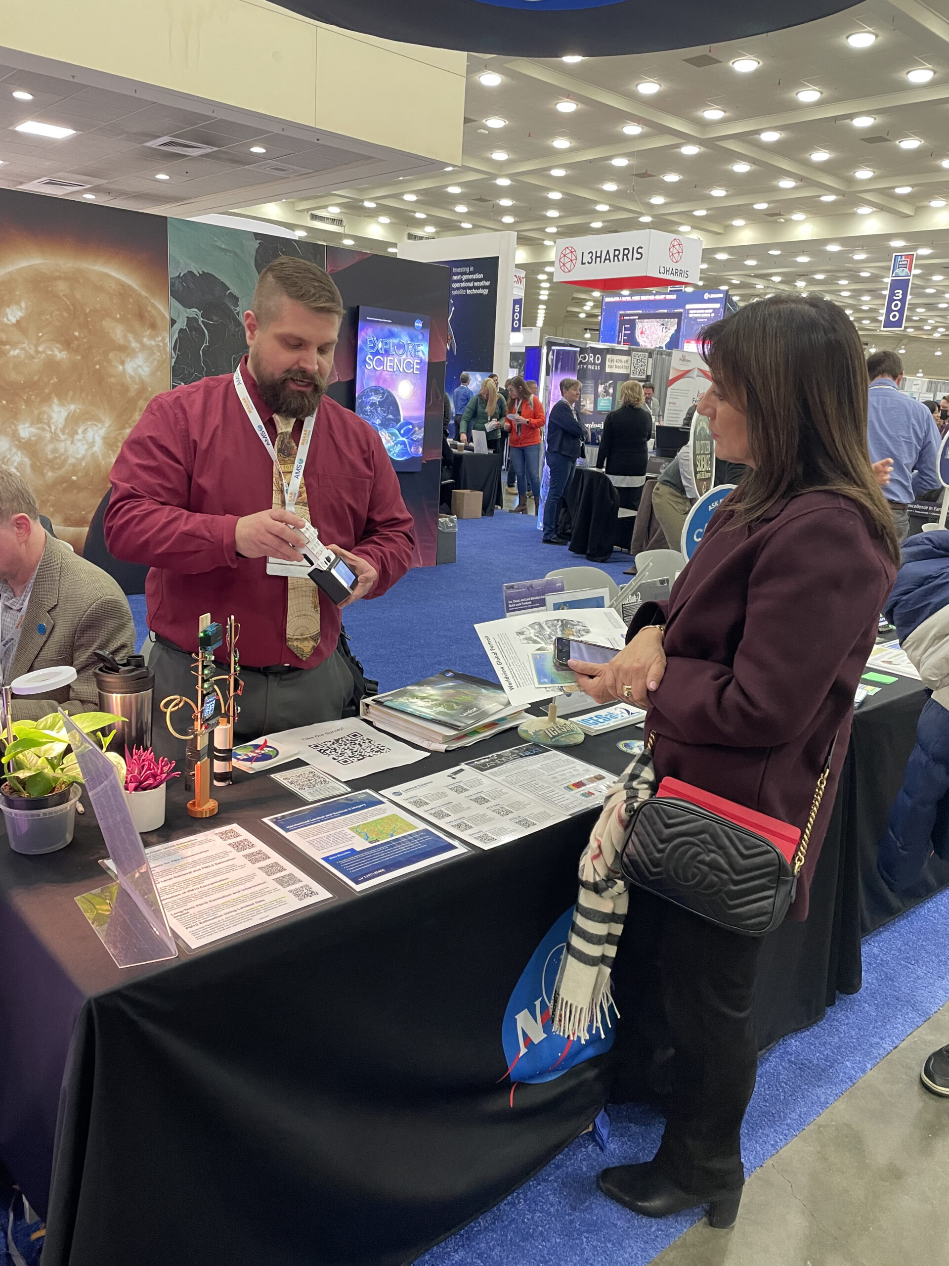
Landsat Outreach: Denver Edition
The Landsat outreach team participated in AAAS and Geo Week events this month to highlight the benefits of the Landsat program and how the NASA/USGS partnership facilitates the invaluable, ongoing Landsat record.
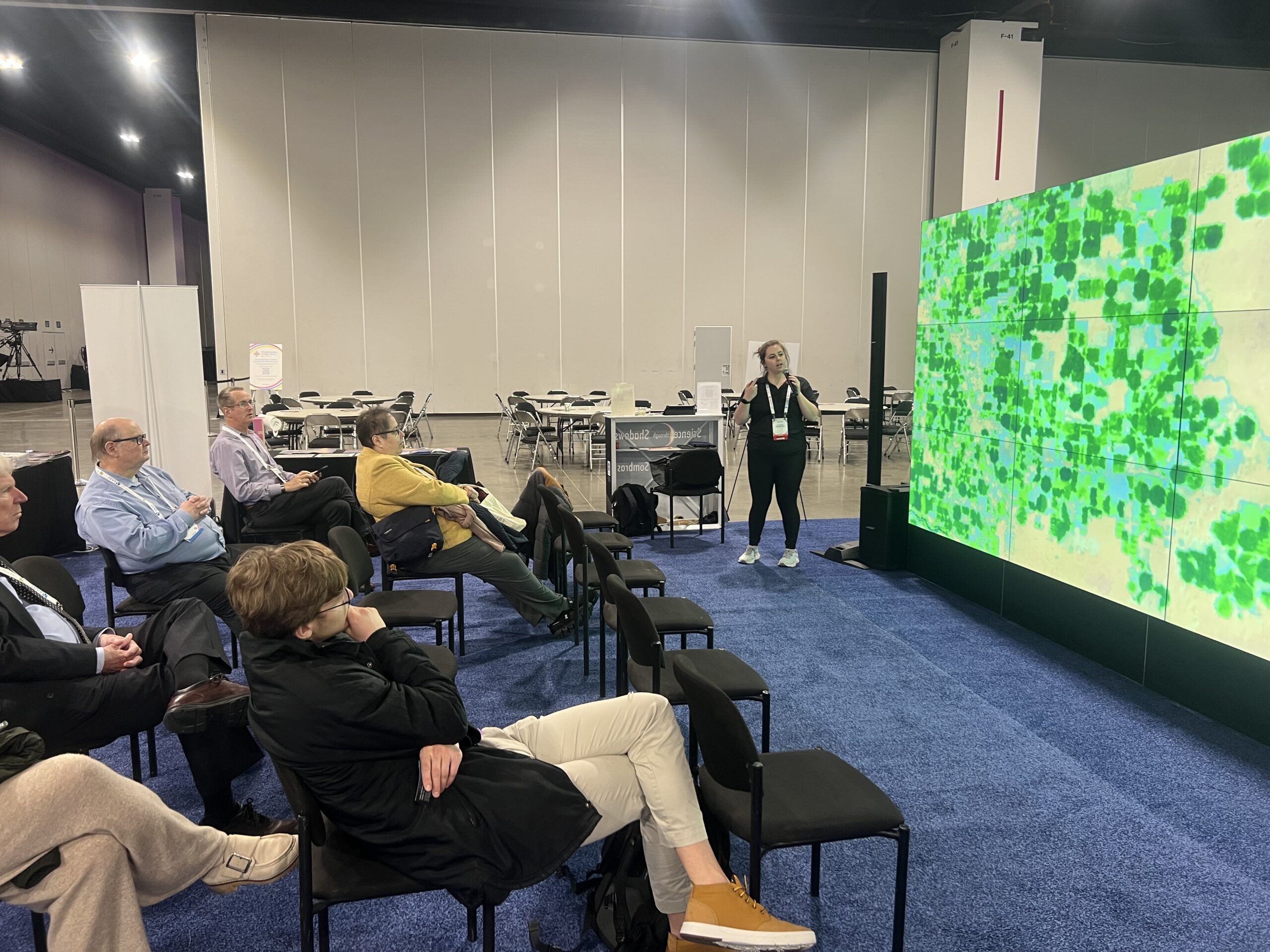
Landsat Outreach at the 2024 American Meteorological Society Meeting
This year, AMS meeting-goers had an opportunity to learn more about Landsat, its data, and its applications at the NASA Exhibit Booth.
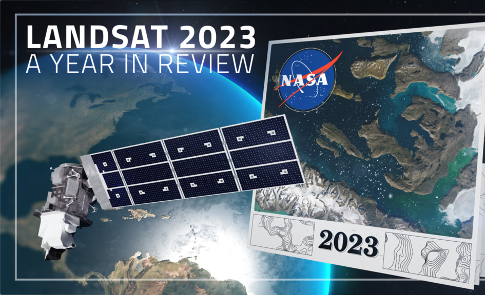
Landsat 2023 – A Year in Review
A delve into Landsat-based studies revealing the environmental impact of river mining, the decline in global lake water levels, and the risks of rising sea levels on coastal habitats. Plus, a sneak peek at what the future of the Landsat program holds with the introduction of Landsat Next.

Scenes from the Polar Night
Landsat satellites have begun regularly acquiring images of ice at the poles during the winter, with enlightening results.
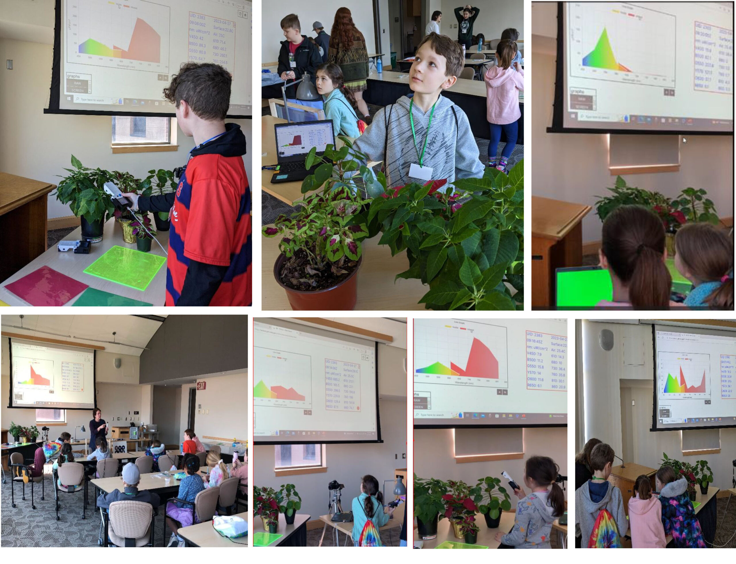
STELLA Spring Webinar: April 15, 2024
STELLA users will talk about their experiences using the DIY spectrometer during this webinar. Panelists include Bianca Cilento (RIT), Karen Karker (SUNY), and Peder Nelson (OSU and NASA GLOBE Observer).

Landsat 9’s Operational Land Imager 2: A Well-Known Instrument
Landsat 9’s OLI-2 instrument was characterized in unprecedented detail using a new laser-based method of in-band spectral response testing. A continuous relative spectral response dataset and pre-launch testing details have been published in a recent paper.
Bringing Earth Observations into Science Classrooms
Landsat outreach supported the NASA booth at the National Science Teacher’s Association annual meeting in Denver.
Satellites Show How Drought Changes Wildfire Recovery in the West
A new study using NASA satellite data reveals how drought affects the recovery of western ecosystems from fire, a result that could provide meaningful information for conservation efforts.
Commodity Classic: Landsat Supports Farmers and Food Production
Landsat was part of the NASA Earth Science presence at the 2024 Commodity Classic in Houston this year.
Landsat Goes to Hawaiʻi to Help Inspire Climate Change Connections
During two recent Earth to Sky Climate Science Education workshops, participants learned how Landsat imagery helps us assess changes in land cover and land use.
Antarctic History Revealed by Landsat
New research shows that while some Antarctic ice shelves have been thinning since at least the 1970s, widespread thinning accelerated in the 1990s.
Landsat Outreach: Denver Edition
The Landsat outreach team participated in AAAS and Geo Week events this month to highlight the benefits of the Landsat program and how the NASA/USGS partnership facilitates the invaluable, ongoing Landsat record.
Scenes from the Polar Night
Landsat satellites have begun regularly acquiring images of ice at the poles during the winter, with enlightening results.
STELLA Spring Webinar: April 15, 2024
STELLA users will talk about their experiences using the DIY spectrometer during this webinar. Panelists include Bianca Cilento (RIT), Karen Karker (SUNY), and Peder Nelson (OSU and NASA GLOBE Observer).
Landsat 9’s Operational Land Imager 2: A Well-Known Instrument
Landsat 9’s OLI-2 instrument was characterized in unprecedented detail using a new laser-based method of in-band spectral response testing. A continuous relative spectral response dataset and pre-launch testing details have been published in a recent paper.
Bringing Earth Observations into Science Classrooms
Landsat outreach supported the NASA booth at the National Science Teacher’s Association annual meeting in Denver.
Satellites Show How Drought Changes Wildfire Recovery in the West
A new study using NASA satellite data reveals how drought affects the recovery of western ecosystems from fire, a result that could provide meaningful information for conservation efforts.
Commodity Classic: Landsat Supports Farmers and Food Production
Landsat was part of the NASA Earth Science presence at the 2024 Commodity Classic in Houston this year.
Landsat Goes to Hawaiʻi to Help Inspire Climate Change Connections
During two recent Earth to Sky Climate Science Education workshops, participants learned how Landsat imagery helps us assess changes in land cover and land use.
Antarctic History Revealed by Landsat
New research shows that while some Antarctic ice shelves have been thinning since at least the 1970s, widespread thinning accelerated in the 1990s.
Landsat Outreach: Denver Edition
The Landsat outreach team participated in AAAS and Geo Week events this month to highlight the benefits of the Landsat program and how the NASA/USGS partnership facilitates the invaluable, ongoing Landsat record.
