
USGS Video: Landsat in Action—The Accuracy of Landsat with Jeff Masek
Landsat 9 Project Scientist Jeff Masek discusses the ways Landsat data is used and how important it is to have high quality data.
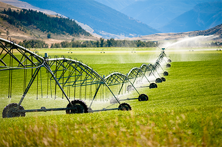
Landsat Imagery Sheds Light on Agricultural Water Use
Researchers armed with data from the Landsat Earth-observing satellites recently teamed up with Google to track water used for irrigation.
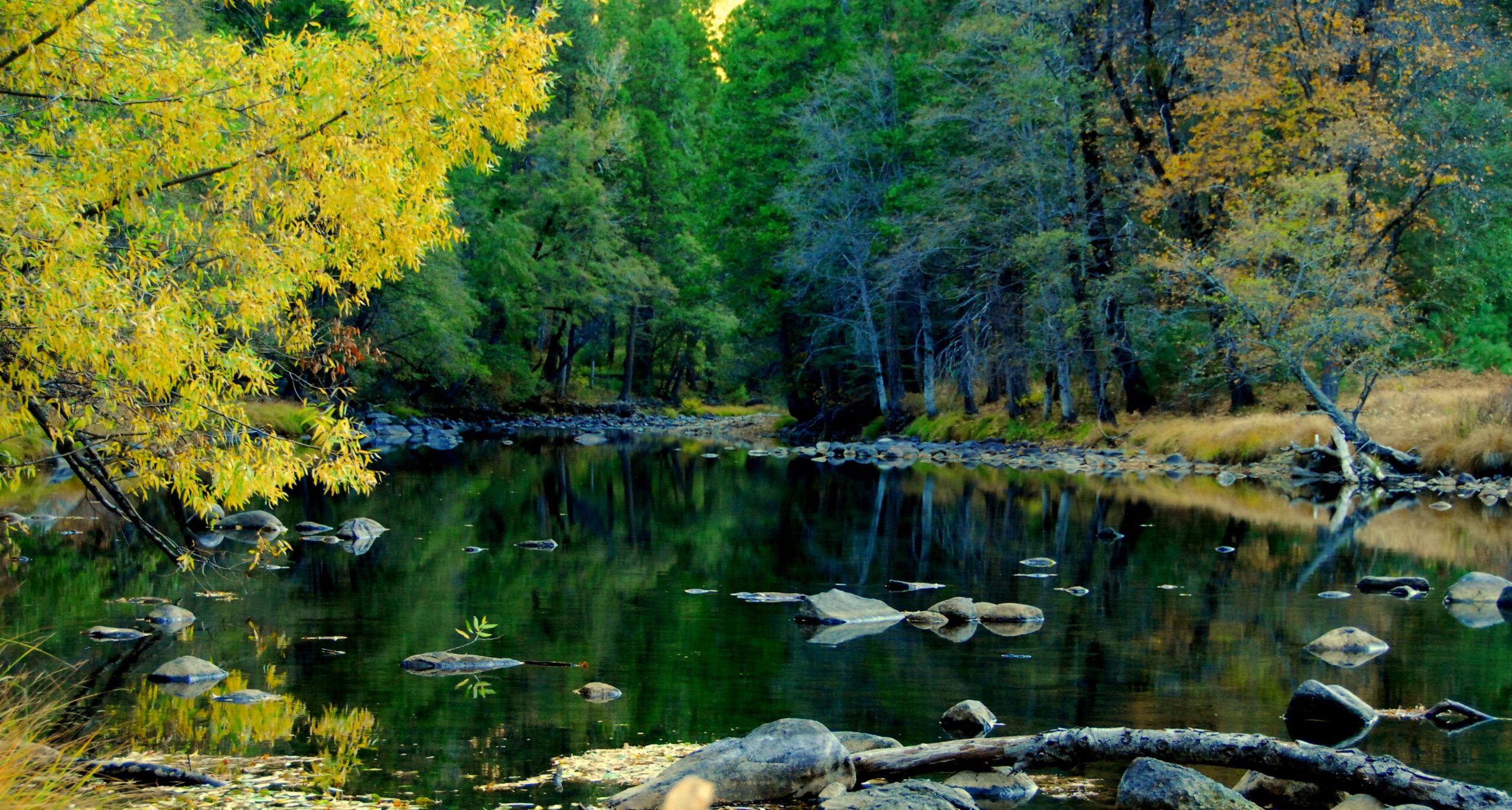
USGS Video: Landsat in Action—Studying Phenology with Patrick Hostert
Patrick Hostert from the University of Berlin discusses the value of Landsat’s long archive to studying phenology.
LGAC Milestone Reached
The 5 millionth scene received in support of the Landsat Global Archive Consolidation (LGAC) effort has been added into the USGS Landsat archive.
NASA Mapping Hurricane Damage to Everglades and Puerto Rico Forests
Last spring, NASA researchers flew over the Everglades and Puerto Rico to measure how mangroves and rainforests grow and evolve over time, then hurricanes Irma and Maria struck.
Successful Landsat 9 Ground System Review Held
Landsat 9 Ground System Preliminary Design Review a success.
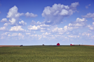
Satellites, Supercomputers, and Machine Learning Provide Real-Time Crop Type Data
Scientists have proven a new technique for distinguishing the corn and soybean crops using satellite data and the processing power of supercomputers.
Winter 2018 Landsat Science Team Presentations Available
Landsat Science Team presentations form the Feb. 2018 meeting are available.
Landsat Summer 2017 Science Team Summary Available
A five-page summary of the 2017 Landsat Science Team Summer Meeting is now available.
Seeing Earth From Space Never Gets Old: Five Years of Landsat 8
Landsat 8 continues a streak of engineering and science success unmatched in spaceflight.
USGS Video: Landsat in Action—Monitoring Crop Land with Martha Anderson
Martha Anderson talks about the value of Landsat and its thermal data for understanding agricultural lands.
USGS Video: Landsat in Action—Minnesota Lakes with Leif Olmanson
Leif Olmanson talks about the value of Landsat data for monitoring the thousands of lakes in Minnesota.
UNESCO Launches a Pioneering Tool to Monitor Water Quality
Using data from Landsat and Sentinel-2, UNESCO is providing freshwater quality information at the global scale.
USGS Video: Landsat in Action—Free & Open Landsat Archive with Barbara Ryan
Barbara Ryan, Director of GEO talks about the distribution of Landsat data.
USGS Video: Landsat in Action—Monitoring Canada's Forest with Mike Wulder
In this USGS Landsat in Action video Mike Wulder of Canada’s Forest Service talks about the value Landsat images have for mapping and monitoring Canada’s forested areas.
Landsat Science Team Co-chair Talks to SDPB Radio
Tom Loveland spoke with reporter Cara Hetland from South Dakota Public Broadcasting about his role as co-chair of the Landsat Science Team and the team itself.
