Satellite Data Shows that Kirtland's Warblers Prefer Forests After Fire
Kirtland’s warblers are an endangered species of lightweight little birds with bright yellow-bellies that summer in North America and winter in the Bahamas. But be it their winter or their
EarthSky Interview with Martha Anderson: Using Landsat to Monitor Water Use from Space
Martha Anderson, a research scientist at the U.S. Department of Agriculture, uses images from the Landsat satellite program to monitor water use and drought on U.S. farms with pinpoint accuracy,

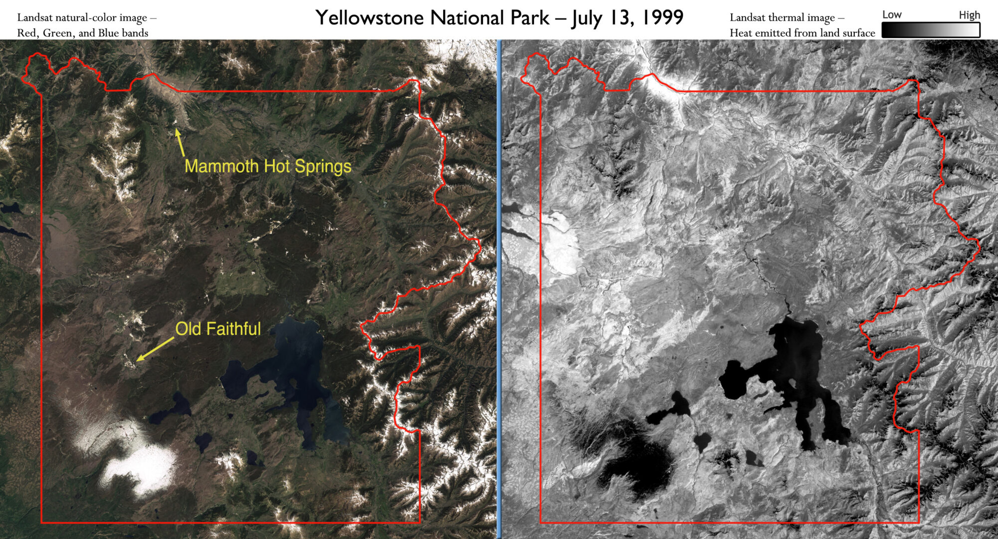
Landsat Satellites Track Yellowstone’s Underground Heat
Yellowstone National Park sits on top of a vast, ancient, and still active volcano. Heat pours off its underground magma chamber, and is the fuel for Yellowstone’s famous features—more than
Scientists Track Environmental Influences on Giant Kelp with Help from Landsat Data
Scientists at UC Santa Barbara have developed new methods for studying how environmental factors and climate affect giant kelp forest ecosystems at unprecedented spatial and temporal scales. The scientists merged
EarthSky Interview with Robert Bindschadler: First ever image mosaic of entire Antarctica detail
Scientists have created a mosaic of digital images collected from space showing the frozen continent of Antarctica—one of the most remote and least known places on Earth—in amazing detail for
Landsat Reveal Surprising Connection Between Beetle Attacks, Wildfire
If your summer travels have taken you across the Rocky Mountains, you’ve probably seen large swaths of reddish trees dotting otherwise green forests. While it may look like autumn has

