
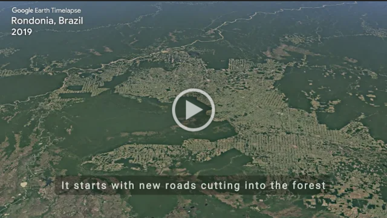
TIME-lapse TRAVEL
Almost 4 decades of Landsat images shows how much of the Amazon rainforest has changed in Rondonia, Brazil.
Did You Know?
Did you know that the Amazon is the largest tropical forest on Earth?

These Trees
So many of our favorite summer spots are covered with forests. Around the world Landsat helps managers map forests to understand whether or not they are changing.

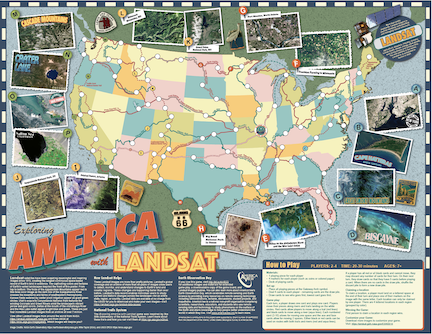
Explore America with this board game and discover how Landsat sees our favorite places for summer vacation.
+ Exploring America with Landsat Game
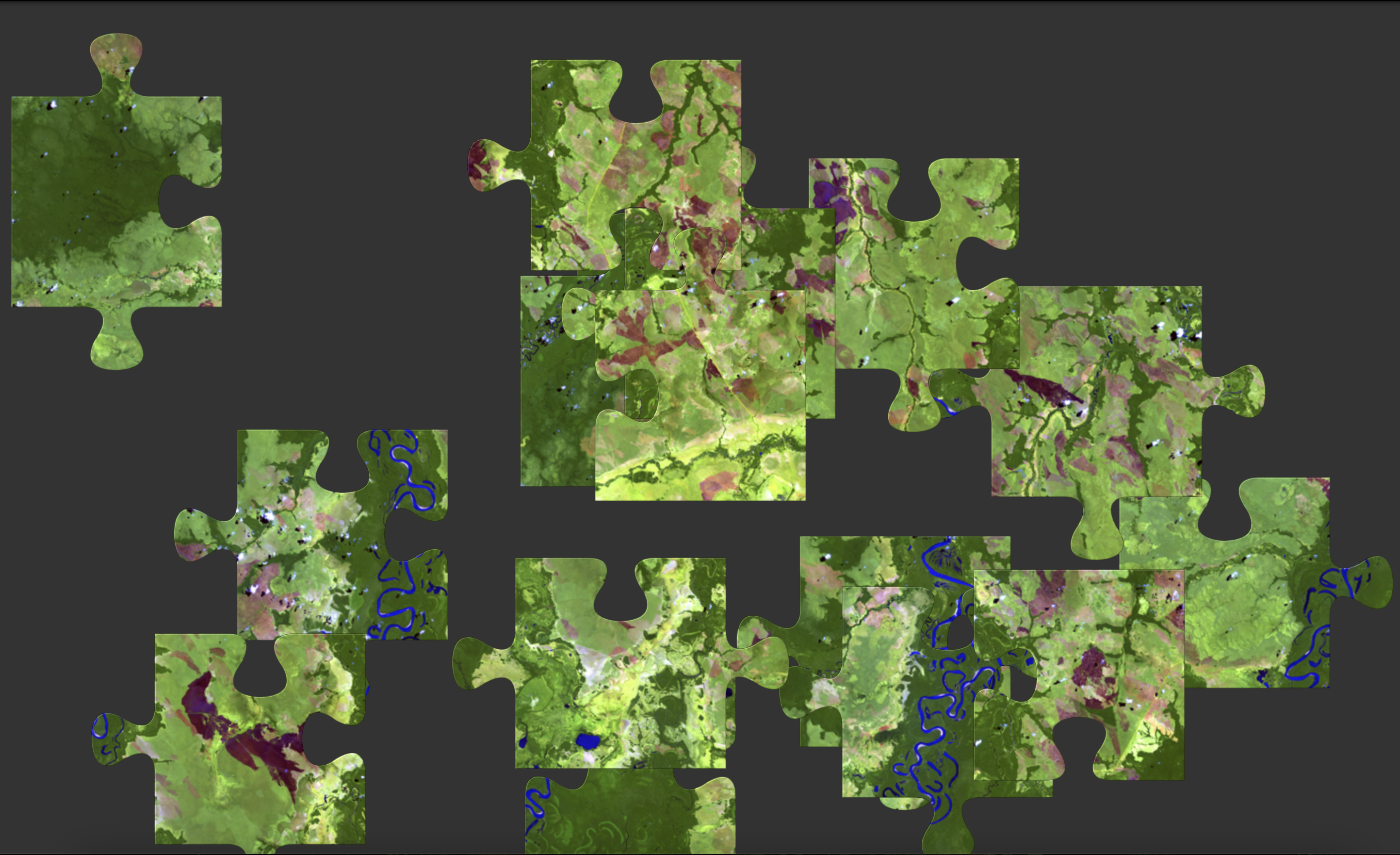
Try your skills with these online Landsat puzzles.
Explore America with this board game and discover how Landsat sees our favorite places for summer vacation.
+ Exploring America with Landsat Game
Try your skills with these online Landsat puzzles.

Wood type is used for letterpress printing like this Landsat inspired printing. Create your own Landsat inspired craft and share with #LandsatCraft.

Wood type is used for letterpress printing like this Landsat inspired printing. Create your own Landsat inspired craft and share with #LandsatCraft.
Postcard from Camp
Collect all nine postcards from Camp Landsat starting with Week 4: Forests Forever! Are you basking in the shade of a favorite tree? Landsat has helped us know how much of Earth is forest-covered and how that changes year-to-year. The front of this postcard features a natural-color Landsat 8 image of Uinta Mountains acquired September 12, 2015.

EOKids
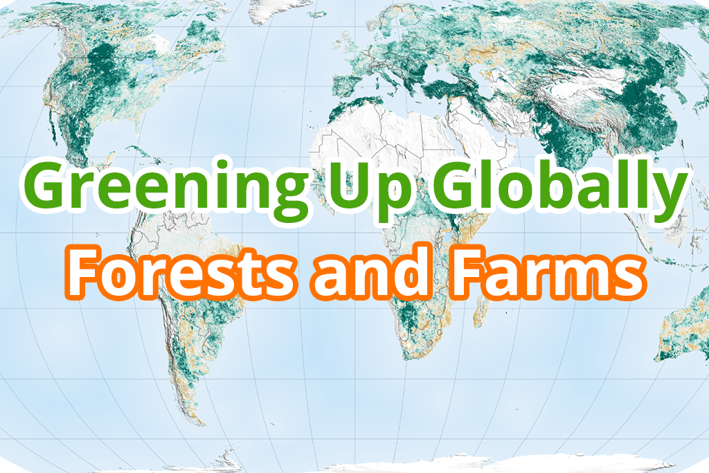
Find out how Earth is greening up from forests and farms and how NASA can see our greener Earth from space in Greening Up Globally: Forests and Farms.