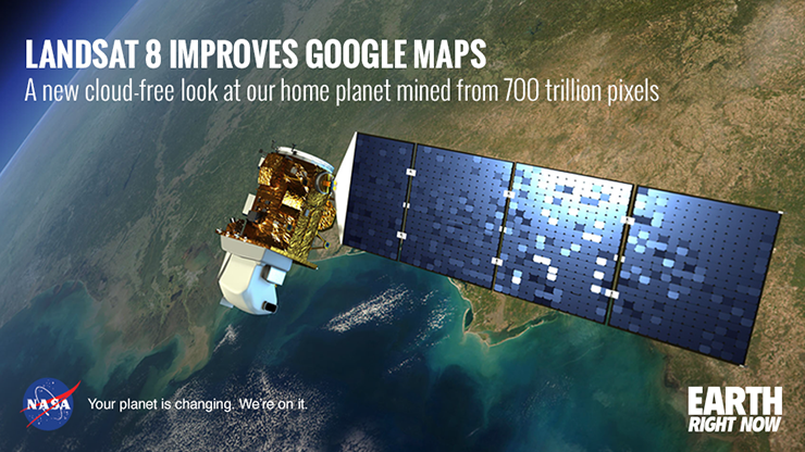
The news was shared by many media outlets. Here are a few of those articles:
+ Google’s Satellite Map Gets a 700-Trillion-Pixel Makeover, The Atlantic
+ Google Earth and Maps updated with higher quality satellite imagery, DP Review
+ Google gets a fancy new look thanks to NASA satellite data, Mashable
+ Google Maps showing high quality imagery thanks to Landsat 8, Tech2
+ Vast improvements to Google Earth thanks to NASA help, Silicon Republic
+ NASA’s Landsat 8 satellite now allows sharper images on Google Earth, Your Story
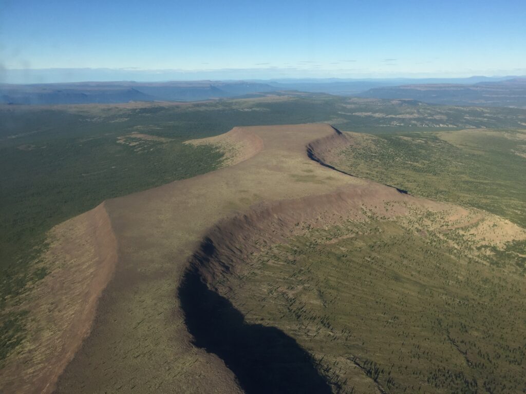
NASA Study Finds Potential Carbon Sink in Boreal Forest Growth
New research led by Landsat 8/9 Project Scientist Chris Neigh used Landsat and ICESat-2 data to investigate how boreal forests growth could sequester carbon.