Source: USGS Landsat Mission
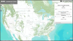
+ LandsatLook Viewer specifics
+ LandsatLook Viewer
+ USGS Rachel Headley’s presentation at the ESRI UC (see “Afternoon Session”)
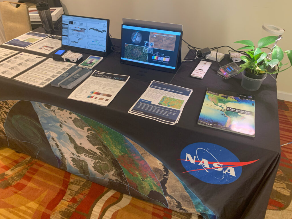
Landsat & LCLUC: Science Meeting Highlights
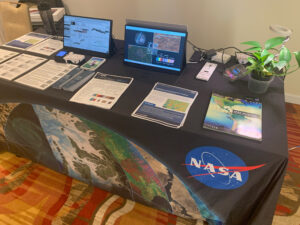
Outreach specialists from the Landsat Communications and Public Engagement team participated in community engagement efforts at the joint NASA and University of Maryland Land Cover Land Use Change (LCLUC) meeting.

