Landsat Next Defined

Landsat Next Defined

Landsat Next is on the horizon—the new mission will not only ensure continuity of the longest space-based record of Earth’s land surface, it will fundamentally transform the breadth and depth of actionable information freely available to end users. Take a look at the new capabilities that will define the next Landsat mission.

Read More »

Expanding OpenET Across Amazon Basin

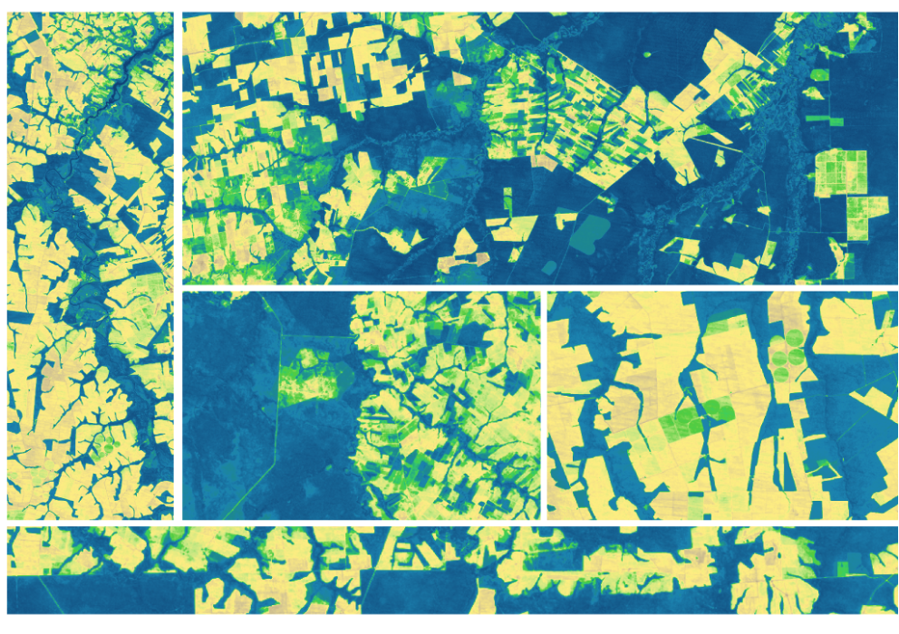
The research teams who help sustain the largest freshwater reserve in the world are developing a new tool to promote more resilient farming systems in Brazil. The goal is to help farmers better handle changes in the water cycle, deal with droughts, and adapt to a changing climate.

Read More »
Landsat Next Defined

Landsat Next Defined

Landsat Next is on the horizon—the new mission will not only ensure continuity of the longest space-based record of Earth’s land surface, it will fundamentally transform the breadth and depth of actionable information freely available to end users. Take a look at the new capabilities that will define the next Landsat mission.

Read More »

Expanding OpenET Across Amazon Basin

The research teams who help sustain the largest freshwater reserve in the world are developing a new tool to promote more resilient farming systems in Brazil. The goal is to help farmers better handle changes in the water cycle, deal with droughts, and adapt to a changing climate.

Read More »

“Landsat 8 represents yet another substantial advance to continuing a 40 year land data record, essential to understanding the Earth’s biosphere, anthropogenic changes to land use and land cover, the terrestrial carbon cycle, and the consequences for climate and biodiversity. This important extension to the Landsat series, the Landsat 8 mission, was achieved, through an outstanding interagency and industrial partnership, effectively managed to achieve breakthrough improvements in satellite …


“The Landsat collection 1 datasets represent a milestone in remote sensing science, with comparatively stable radiometric calibration and atmospheric correction.”


“Landsat is, on its own merits, an extremely important capability for our country. It becomes all the more important when we overlay on top of that, the challenges of climate change and the fact that we are driving our climate to a place that we haven’t seen before, scientifically.”


“We’re taking darkness out of the equation. Extending the ability to observe ice and polar ocean changes increases the probability of capturing major glacier calving events, wind-driven surface melting or warming, and coastal ocean ice shelf breakup that can be expected to occur more frequently in the future if the pace of warming does not slow.”


“Sterling service of over four decades of Earth Observations. No ifs, no buts, just a long-term mission to aid science & society.”


“Within Australia, Earth Observation is so commonly used across all levels of government, industry and society that the minimum economic impact of Earth Observation from space-borne sensors alone is approximately $5.3 billion each year [Australian $; ~4.15B US$].”


“We would not have been able to complete this research without Landsat’s free and open data policy.”


“Whether it’s since 1985 or 2000, we see this greening of the Arctic evident in the Landsat record.”


“Without Landsat’s long record, studies like ours would be impossible to undertake, because we don’t have a time machine to go back to the 1970s and 1980s and see how Turkey’s glaciers were doing then. Using Landsat and commercial satellite data together, we can map glaciers with high accuracy. It’s a powerful combination for studying the Earth from space.”


“The analysis enabled by Landsat heat data provides a foundation for planning and problem solving. Without the data, we’re just guessing about what interventions work best to mitigate hot spots… unraveling the complexity of urban heat will ultimately help us build better cities and improve residents’ quality of life.”


“The tracking of over-irrigated areas for targeting irrigation advisory texts was completely dependent on Landsat TIR data.”


“Continuing the critical observations made by the Landsat satellites is important now and their value will only grow in the future, given the long term environmental changes we are seeing on planet Earth.”


“What should be done with the old bird?”


“For more than fifty years now, Landsat satellites have helped us learn more about how Earth systems work, how human activities affect those systems, and how we can make better decisions for the future. Landsat 9, the latest joint effort by NASA and USGS, proudly carries on that remarkable record.”


“Usage rocketed in 2008, when Landsat made its images free. More than a million images were downloaded in the first year, compared with a previous annual high of 25,000 images sold. More than 20 million images have been downloaded since the archive opened and the rate continues to increase.”


“We have brought it from the brink of death and back to life so many times over the last seven years. It’s just amazing what our flight operations team and our engineers are able to do with that spacecraft. It’s the oldest spacecraft of its type still functioning. We’ve certainly gotten our money’s worth out of it.”


“Landsat 8 can collect more than 700 images per day—14 times as much as in the 1980s.”


“A growing archive of Landsat images allow us to see how quickly icesheets are changing.”


“The novelty of our study lies in the bigger picture—measuring glacier change over all main glaciated ranges in Bolivia—and in the identification of potentially dangerous lakes for the first time.”


“You may have heard me say this before, but I firmly believe there are few topics more fundamental to study than the workings of our planet. The earth sciences aim to unravel how the lithosphere, atmosphere, hydrosphere, and biosphere operate—and how they operate together. It is a science of synthesis. And it’s one that needs to move forward, both because of the great service the earth sciences perform for society and the understanding of world-shaping processes that they advance.”


“Landsat 5 is kind of like the (Energizer) bunny — it just keeps running and running.”


“We use Landsat images on a daily basis at SkyTruth for environmental monitoring.”


“You can launch a new satellite, but you can’t put something up in the past. Landsat will always be that historic record that new satellites can tie themselves to.”


“With Landsat we can see temperature of individual fields and how it varies from field-to-field. The temperature of the land surface gives us a good indication of how rapidly water is evaporating off that surface. And this is really important for knowing how healthy the crops are and also for supplying information for irrigators: how much water was used last week and how much do they need to replenish in the current week to keep the crops healthy.”


Landsat 9 bw
Landsat 9 bw
Landsat 9 bw

The NASA/USGS Landsat Program provides the longest continuous space-based record of Earth’s land in existence. Landsat data give us information essential for making informed decisions about Earth’s resources and environment.