Landsat Next Defined

Landsat Next Defined

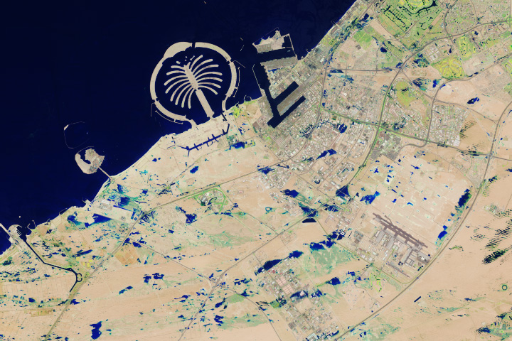
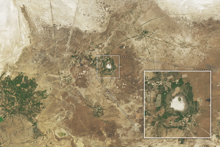
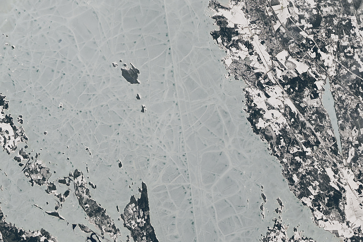
Landsat Next is on the horizon—the new mission will not only ensure continuity of the longest space-based record of Earth’s land surface, it will fundamentally transform the breadth and depth of actionable information freely available to end users. Take a look at the new capabilities that will define the next Landsat mission.

Read More »
Landsat Next Defined

Landsat Next Defined

Landsat Next is on the horizon—the new mission will not only ensure continuity of the longest space-based record of Earth’s land surface, it will fundamentally transform the breadth and depth of actionable information freely available to end users. Take a look at the new capabilities that will define the next Landsat mission.

Read More »

“Landsat enabled us to collect a multi-decadal record of the [river] reaches at almost annual resolution. By extending our record into the past we were able to examine how the reaches changed through time providing us with a truly invaluable dataset.”


“Whether it’s since 1985 or 2000, we see this greening of the Arctic evident in the Landsat record.”


“By analyzing velocity estimates extracted from 30 years of Landsat data, this study highlights the complex, and sometimes counterintuitive, interplay between surface meltwater and ice motion.”


“There is a sensor in the Landsat satellite which measures the intensity of the reflected radiation back into space. What if we could use satellite imagery from the Landsat program to find fossils?”


“For our main aim of quantifying surface water extent dynamics during a period of high hydro-climatic variability, Landsat was the only satellite archive to meet all our criteria.”


“Landsat has been extremely beneficial as it allowed us to frequently evaluate the movement of the shoreline based on data gleaned from one consistent source over the duration of the study period. Further, the continued use of Landsat will allow for ongoing monitoring of the coastline in this region to ensure that potential infrastructural improvements are sustainable based on projections of near-term climate change.”


“You can see the changes of your orchard over time & over space, and by measuring the canopy temperature [with Landsat] you can see whether the canopy is in balance with the rest of the environment around the trees.”


“The first year we made Landsat open, we put out 25,000 Landsat scenes. Today, we put out millions of scenes a year.”


“In a world of scarce resources, there are distinct tradeoffs in costs and benefits of land use, and whether to conserve or convert forest to cropland. Map-based images are perhaps one of the most succinct means of helping policymakers digest complex ideas of social and economically driven environmental change.”


“The Landsat program provides an unparalleled historical record of coastal observations that captures how the world’s coastlines have changed over time in incredible detail.”


“Dai Yamazaki, a hydrodynamic engineer at the Japan Agency for Marine-Earth Science and Technology, calls the new [Landsat-based] imagery collection the best understanding yet of Earth’s changing surface water.”


“I have really appreciated being able to use Landsat data as a ‘time machine’ to understand our changing environment.”


“The resolution of Landsat imagery and the size of the Landsat database enables critical insight for scalable, high resolution flood detection in several key ways… This increased resolution is particularly critical in urban areas.”


“Science and reliable data need to be at the heart of policy decisions around the globe if we are to tackle climate change and other serious environmental challenges facing our world. It is vital that we share the trusted data that comes from Earth observation so citizens, scientists, and political leaders everywhere can most effectively work together to meet these most difficult challenges.”


“The first step of ecosystem accounting is to actually map the dynamics of ecosystems over time.”


“The Landsat data record is absolutely invaluable—wetland managers can start to understand if changes they are seeing take place over months, years or decades.”


“That’s the beauty of Landsat—it allows us to quantify these spatial patterns that are of high interest to water managers.”


“Landsat represents a public good, Earth-observation infrastructure that allows everyone to study their respective land resources and their change over time.”


“Tropical deforestation plays a big role in global climate cycles… without the transparency of Landsat satellite data is difficult to put your finger on changing trends.”


“The key role of Landsat in the context of climate change is to document the impact of climate change on global ecosystems, which is highly relevant for the future availability of food, water, and fiber resources, as well as the provision of ecosystem services including biodiversity.”


“Moving out on Landsat 9 is a high priority for NASA and USGS as part of a sustainable land imaging program that will serve the nation into the future as the current Landsat program has done for decades.”


“As the climate continues to warm and affect urban health, the Landsat satellites’ sensors are among our best tools for monitoring the thermal variations of the urban heat island.”


Landsat satellite imagery is ideal for gauging vegetation cover shifts because it supplies spectral data for surface areas of about 90 square meters – fine enough to track changing spectral signal patterns across large study areas.


Landsat 9 bw
Landsat 9 bw
Landsat 9 bw

The NASA/USGS Landsat Program provides the longest continuous space-based record of Earth’s land in existence. Landsat data give us information essential for making informed decisions about Earth’s resources and environment.