 Keeping Landsat data free and open is the right path forward, a federal advisory panel has concluded. A National Geospatial Advisory Committee panel has released its report in response to a request from the Department of the Interior to evaluate if reinstating a charge for Landsat data would be a reasonable way to raise revenue.
A roaring response from the remote sensing user community about the need for unfettered access to Landsat data was taken into account by the advisory committee. The committee ultimately found that charging for Landsat data would redirect users to other data sources while at the same time having negative economic, societal, and legal implications.
The report was approved unanimously by the NGAC advisory panel. The full report can be found here .
Further Reading:
+ Landsat Advisory Group Report Says Charging for Landsat Data Not Worth Economic, Societal Costs, USGS EROS
+ Keep Landsat data free, panel urges Department of the Interior, Science Magazine
+ The value of open Earth Data: Report from the Landsat program, GEO
+ Federal advisory panel tells DOI to keep Landsat data free and open, Geospatial World
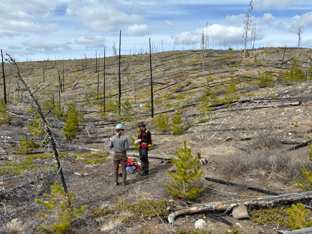
Understanding Forests After Fire With Landsat and LiDAR
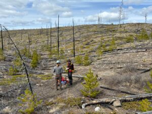
Field researchers Sarah Smith-Tripp and Lukas Olson stand in a high-severity burn with minimal tree cover in central British Columbia. This area burned in the Pelican Lakes Fire in 2015.

