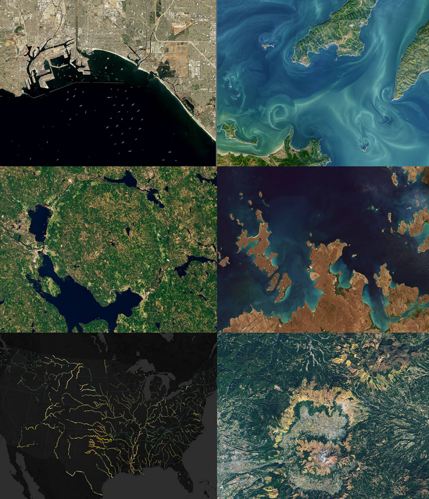
From record-breaking heatwaves to pandemic-related events, Earth-observing satellites captured some compelling moments on our planet in 2021. A NASA Earth-curated image list showcases some of the beautiful and complex events that occurred on our planet in the past year, and demonstrates how Earth-observing technologies and missions provide valuable information to scientists, government agencies, and people around the world.
(And… there’s a lot of Landsat!)

Be Part of What’s Next: Emerging Applications of Landsat at AGU24
Anyone making innovative use of Landsat data to meet societal needs today and during coming decades is encouraged to submit and abstract for the upcoming “Emerging Science Applications of Landsat” session at AGU24.


