Reading the Landscape

Reading the Landscape

Deforestation in the Amazon
Deforestation and land use change has greatly impacted the Amazon rainforest. Photo credit: CIAT International Centre for Tropical Agriculture

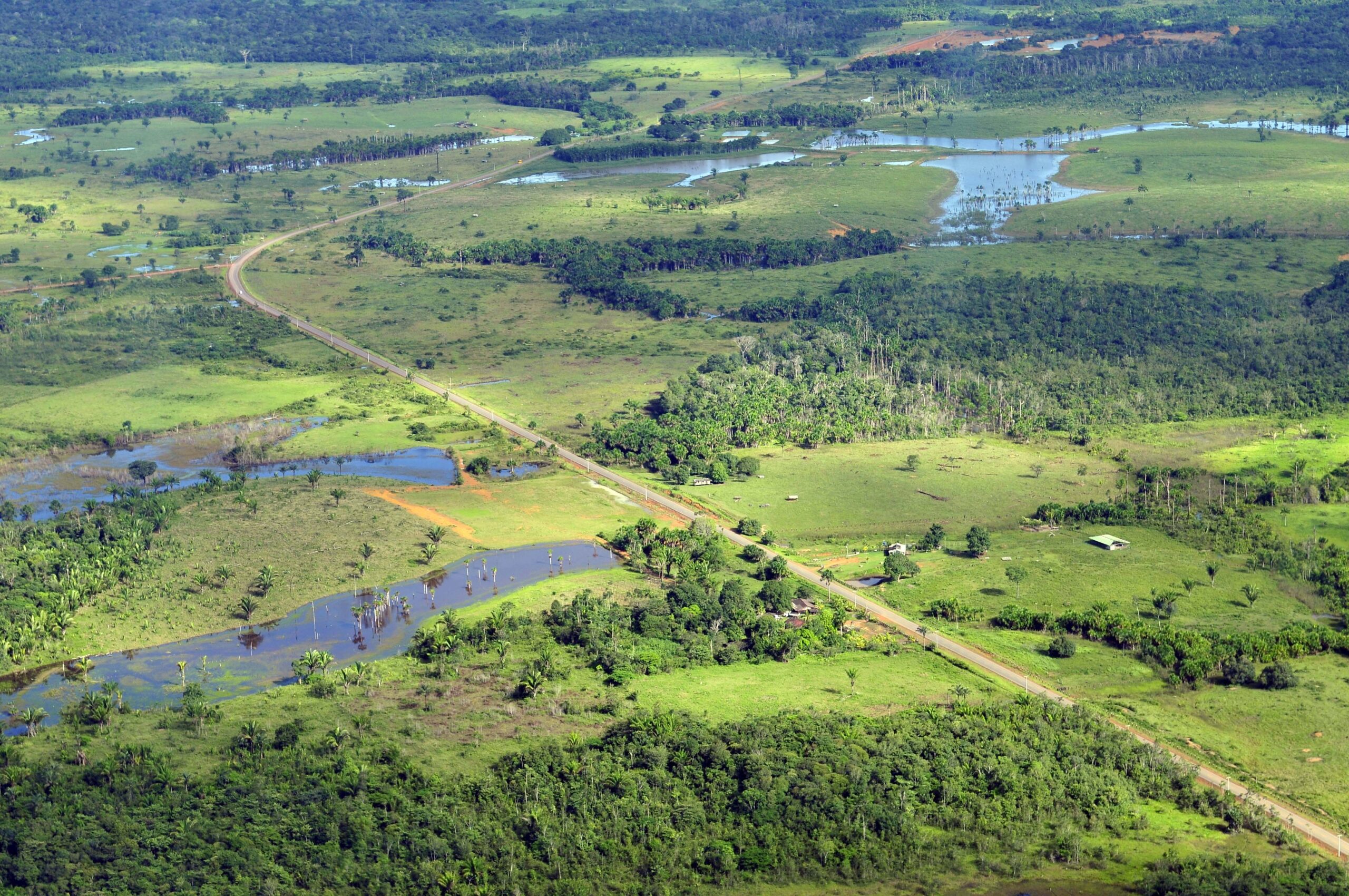
More than 100 countries at the UN Climate Change Conference this past year made the bold commitment to halt and reverse deforestation by 2030. But how is it possible to track the amount of forest cover lost or gained? And what kinds of metrics can drive decisions like where and how much land to set aside for agriculture or wildlife conservation?

Innovations in land cover and land use change (LCLUC) mapping are some of NASA’s most vital contributions to Earth science and sustainability. Since the launch of the first Landsat satellite in 1972, millions of images have been captured over the Earth’s surface. Over the past fifty years, these images have formed a record of the diverse ecosystems and landscape uses on our planet over time–enabling scientists, governments, and other stakeholders to map LCLUC changes on a scale never before possible.

SERVIR, a joint partnership of NASA and USAID, helps countries in Asia, Africa, and the Americas expand their capacity to use NASA Earth observations for sustainable land management. The SERVIR Applied Sciences Team (AST) is a group of Earth science experts selected by the NASA Applied Sciences Program to coordinate with co-investigators at SERVIR regional hubs, helping ensure that NASA science and technology is accessible and useful to users. Seven members of this team are currently working to help communities around the world not just engage in LCLUC mapping, but to access the resources needed to sustainably manage and protect the land we all live on.

***Meet the SERVIR scientists improving land management through satellite imagery. ***

Banner Image Caption: Photo credit: CIAT International Centre for Tropical Agriculture

Get the latest from Landsat in your inbox.


By submitting this form, you are consenting to receive marketing emails from: Landsat Science. You can revoke your consent to receive emails at any time by using the SafeUnsubscribe® link, found at the bottom of every email. Emails are serviced by Constant Contact
On Key

Recent Posts

Map shows South Korea with waterways highlighted. In the top right corner is a north arrow and in the bottom left corner is a legend of different rivers in South Korea.

Monitoring Water Quality in South Korea

South Korea is facing a water quality problem. Researchers Hyunglok Kim and Seongjun Lee from the Gwangju Institute of Science and Technology (GIST) embarked on developing a model to predict water quality indicators in near real-time.

Read More »
Landsat outreach specialist Allison Nussbaum and GEDI/UMD Faculty Specialist Talia Schwelling hold Landsat/GEDI postcards at the NASA exhibit booth at AGU24.

Landsat at AGU24

The NASA Landsat Science and Outreach teams attended the American Geophysical Union’s annual meeting in DC in December. At AGU24, they shared research and educated the public about Landsat.

Read More »
On Key

Related Posts

Map shows South Korea with waterways highlighted. In the top right corner is a north arrow and in the bottom left corner is a legend of different rivers in South Korea.

Monitoring Water Quality in South Korea

South Korea is facing a water quality problem. Researchers Hyunglok Kim and Seongjun Lee from the Gwangju Institute of Science and Technology (GIST) embarked on developing a model to predict water quality indicators in near real-time.

Read More »