Technology Transfer: NASA Satellite Servicing Technologies
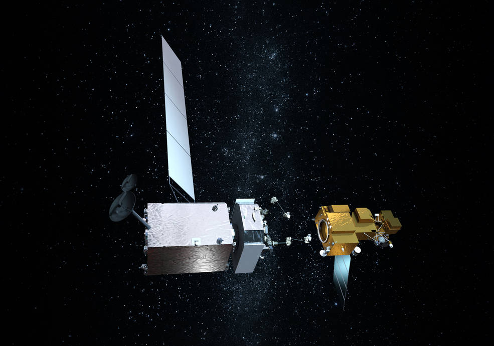
Northrop Grumman recently signed agreements to license three technologies from NASA related to satellite servicing.

Northrop Grumman recently signed agreements to license three technologies from NASA related to satellite servicing.

In the long and winding history of the Landsat Program, April 15, 1999 was an important day.
