
A New and Improved Harmonized Landsat and Sentinel-2 Dataset
In July, 2025, a team of researchers unveiled the Harmonized Landsat and Sentinel-2 (HLS) version 2.0 surface reflectance dataset and algorithms.

In July, 2025, a team of researchers unveiled the Harmonized Landsat and Sentinel-2 (HLS) version 2.0 surface reflectance dataset and algorithms.

The Gran Chaco—South America’s second largest forest—is disappearing. Watch decades of forest change, as captured by Landsat satellites.

The USGS Earth Resources Observation and Science Center archive has more than one million Landsat 9 Level-1 products (that’s over 1 billion megabytes of data)!

Between October 2023 and October 2024, the four dams of the Klamath Hydroelectric Project were taken down, opening more than 400 miles of salmon habitat.

Haiti lost nearly half of its primary forests between 1996 and 2022, with fires and tree-cutting being major drivers of loss, according to a new study.
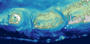
Scientists at the U.S. Geological Survey have developed a new way to measure ocean depth, or bathymetry, in shallow nearshore environments using Landsat data.
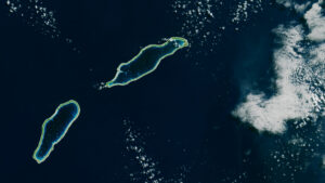
Monitoring the temperature of tiny atoll lagoons is important for the local economy and ecosystem. A new study shows that Landsat can help.
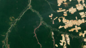
The Amazon is in trouble. Researchers found that, between 2000 and 2022, the Brazilian Amazon lost about 10% of its natural non-forest vegetation.

In a new study, researchers used GPS tracking data and satellite imagery to map elephant movement in northwestern Namibia, looking for corridors of connectivity.
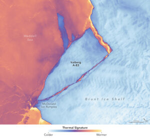
The Brunt Ice Shelf lost a large wedge of floating ice, the third sizeable iceberg to calve from the shelf in recent years. The TIRS instrument on Landsat 9 captured false-color images of the calving.

Landsat satellites have begun regularly acquiring images of ice at the poles during the winter, with enlightening results.
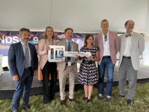
NASA transferred ownership and operational control of the Landsat 9 satellite to the U.S. Geological Survey (USGS) in a ceremony in Sioux Falls, South Dakota on on Thursday, Aug. 11, 2022.
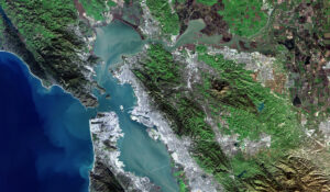
Landsat 9, a joint mission of NASA and the U.S. Geological Survey (USGS), passed its post-launch assessment review and is now in its operational phase.
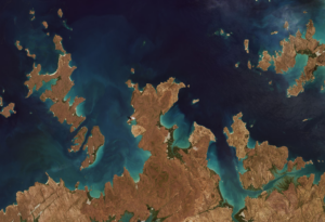
Launched September 27, Landsat 9 will provide a high-quality and reliable stream of land imaging data for the next 10-plus years.

Using decades of Landsat satellite imagery, scientists at Geoscience Australia have mapped annual shoreline locations for the entirety of Australia going back more than thirty years.
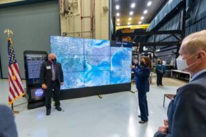
Landsat 9’s first light images provide a preview of how the mission will help people manage vital natural resources and understand the impacts of climate change.
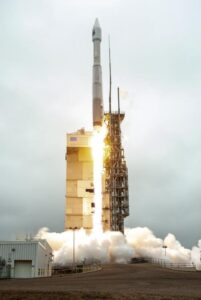
Landsat 9 successfully launched on Monday, Sept 27, 2021 at 11:12 a.m. PDT and is now proceeding smoothly and accordingly through its scheduled on-orbit checkout period.
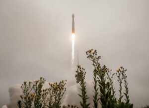
Landsat 9 successfully launched at 2:12 p.m. EDT Monday from Vandenberg Space Force Base in California.
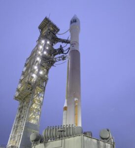
by Jason Costa, Kennedy Space Center, Launch Services Program September 27, 2021 • After a United Launch Alliance Atlas V rocket successfully carried the Landsat 9 spacecraft into orbit from

Starting on Sunday, Sept. 19, 2021, a number of local Landsat-focused events will be taking place. From geocaching to family fun nights, from science cafe talks to women in STEM socials, there’s something for you to do during launch week.

by Jim Cawley, NASA’s Kennedy Space Center September 22, 2021 • Landsat 9 is targeted for launch no earlier than Sept. 27, 2021, on a United Launch Alliance Atlas V
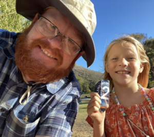
Adventurers, explorers, and satellite lovers alike descended on Lompoc, California, Sunday, Sept. 19 to kick-off Southern California’s first GeoTour: The History of Landsat in Lompoc.
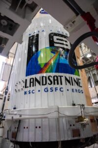
Landsat 9, now scheduled for launch on Monday, Sept. 27, is safely encapsulated in its fairing and mated to the launch vehicle in preparation for launch.

The Landsat 9 launch is now scheduled for no earlier than Monday, Sept. 27, 2021.
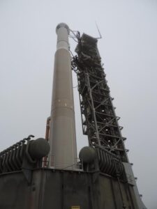
The Wet Dress Rehearsal enabled engineers to evaluate how the Landsat 9 rocket and ground systems behave prior to launch.

Come along on a “roadtrip” through the decades to see how the technology on Landsat has evolved with the times to provide an unbroken data record.
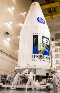
Current pandemic demands for medical liquid oxygen have caused delivery delays of needed liquid nitrogen to Vandenberg, impacting the Landsat 9 launch date.
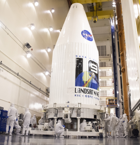
In preparation for launch, the Landsat 9 observatory has been encapsulated in the fairing of the Atlas V 401 rocket that will deliver it into orbit this September.

This is the second in a series of five features introducing members of the Landsat 9 team.

This is the first in a series of five features introducing members of the Landsat 9 team.
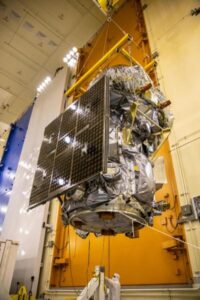
The Landsat 9 project has passed its final major lifecycle approval gateway.

For five decades, we have relied on Landsat’s high-quality, science-quality observations to understand and protect our home planet.
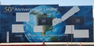
A mural celebrating Landsat’s 50 year history is being painted in Lompoc, California.