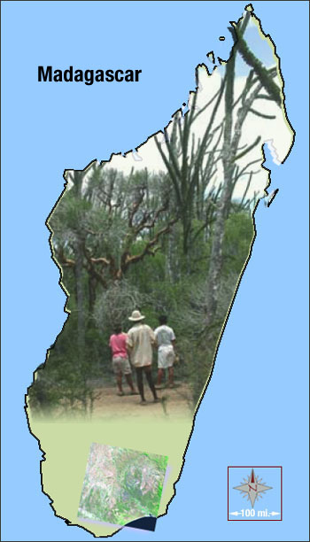
After a land cover classification of three dry-season Landsat scenes (1984, 1993, 2000), a 7% net loss of forest cover between 1984 and 2000 was found; but over the seven years between 1993 and 2000 a 4% increase in forest cover was observed. Information on local forest use was obtained through interviews with local forest officials, village counselors, and clan elders. Interestingly, the largest forest loss occurred in an area with a small local population and a long distance to market––but with markedly weak and insecure property rights. At the same time, forest stability and reforestation was observed in more densely populated areas that had well-defined property rights (largely in the form of inherited land claims and trespassing taboos).
This research indicates that local dictums and community enforcement can have profound effects on forest stability and can lead to sustainable resource management.
Reporter: Laura Rocchio
+ Read the full journal article:
Elmqvist T, Pyykönen M, Tengö M, Rakotondrasoa F, Rabakonandrianina E, et al. (2007) Patterns of Loss and Regeneration of Tropical Dry Forest in Madagascar: The Social Institutional Context. PLoS ONE 2(5): e402.

Be Part of What’s Next: Emerging Applications of Landsat at AGU24
Anyone making innovative use of Landsat data to meet societal needs today and during coming decades is encouraged to submit and abstract for the upcoming “Emerging Science Applications of Landsat” session at AGU24.


