

With Earth Engine, developing nations can better track their deforestation rates. This could feed directly into the Reducing Emissions from Deforestation and Forest Degradation (REDD) project which seeks to monitor and incentivize forest preservation.
Importantly, along with easy access to the data, Google Labs will provide the computer processing time needed to analyze the data to turn it into useable and reliable information.
In an impressive illustration of the Earth Engine’s processing power, Google used 53,000 Landsat scenes collected between 1984 and 2010 to create the highest-resolution forest and water map of Mexico ever created. The map took 15,000 hours of computer processing time to create, but the Earth Engine was able to compile the map in less than one day using 1,000 computers in parallel.
Thanks to the USGS Landsat Project for their continued coordination with the Google.org team.
Further Information:
+ Introducing Google Earth Engine [external link]
+ Washington Post: Google Earth Engine Debuts [external link]
+ Landsat at COP15
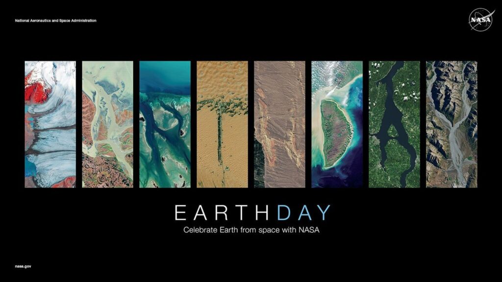
NASA Celebrates Earth Day with Your Name in Landsat
On April, 22, 2025, NASA celebrated Earth Day as only NASA can: with beautiful Landsat imagery of our home planet.


