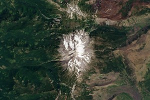
+ How To Make a True-Color Landsat 8 Image
Note: NASA and USGS do not endorse the use of any particular image processing software.

Be Part of What’s Next: Emerging Applications of Landsat at AGU24
Anyone making innovative use of Landsat data to meet societal needs today and during coming decades is encouraged to submit and abstract for the upcoming “Emerging Science Applications of Landsat” session at AGU24.


