Images, Videos and Animations

Images, Videos and Animations

Featured Landsat Videos

Images, Videos, and Animation Resources

  • + NASA’s Science Visualization Studio: Landsat – NASA’s Science Visualization Studio (SVS) creates an array of images and animations using satellite and other data to illustrate research done by NASA.
  • + Landsat Image Gallery – Browse Landsat images from around the world and read stories about each landmark as Landsat sees them.
  • + Earth Observatory – A collection of images and stories about Earth including, Landsat’s Greatest Hits, a slideshow of some of the best images from the Landsat program’s first 40 years.
  • + Earth as Art – A USGS collection of some of Landsat’s most beautiful images from around the world.
  • + EarthShots: Satellite Images of Environmental Change – EarthShots introduces remote sensing by showing examples of environmental change from around the world. Explore this site to see how satellite imagery is used to track change over time.
On Key

Recent Posts

1911 USGS map

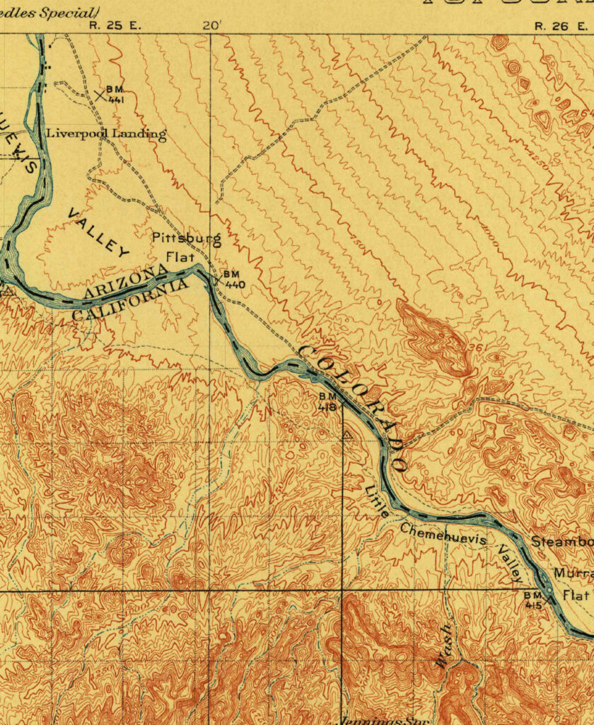
Creating an Oasis in the Desert: Lake Havasu City, Arizona, 1911

Humans have modified the landscape of Planet Earth in many ways. This modification is nothing new—it began as the earliest humans began burning of local grasslands to encourage new growth, tilling the soil for the first agricultural experiments, and building small dams to ensure a water source. Yet today’s changes are more frequent and also larger in area, from the construction of cities, reservoirs, and tunnels, to widespread land use change through the conversion of the natural land cover to cropland, grazing pastures, mining sites, and other uses.

Read More »
Cape Cod map 1885

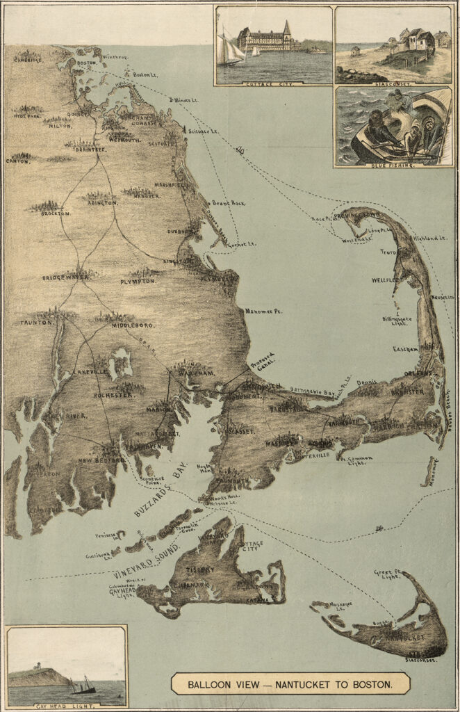
Cape Cod, 1885

The sandy peninsula of Cape Cod, Massachusetts juts into the Atlantic Ocean with its characteristic crook and twirl in both images: “Balloon View–Nantucket to Boston” made in 1885, and a Landsat 8 satellite image made 129 years later in 2014. Aspirations to rise above the Earth and to record the Earth’s surface from there are a long-standing theme of human culture.

Read More »
On Key

Related Posts

1911 USGS map

Creating an Oasis in the Desert: Lake Havasu City, Arizona, 1911

Humans have modified the landscape of Planet Earth in many ways. This modification is nothing new—it began as the earliest humans began burning of local grasslands to encourage new growth, tilling the soil for the first agricultural experiments, and building small dams to ensure a water source. Yet today’s changes are more frequent and also larger in area, from the construction of cities, reservoirs, and tunnels, to widespread land use change through the conversion of the natural land cover to cropland, grazing pastures, mining sites, and other uses.

Read More »