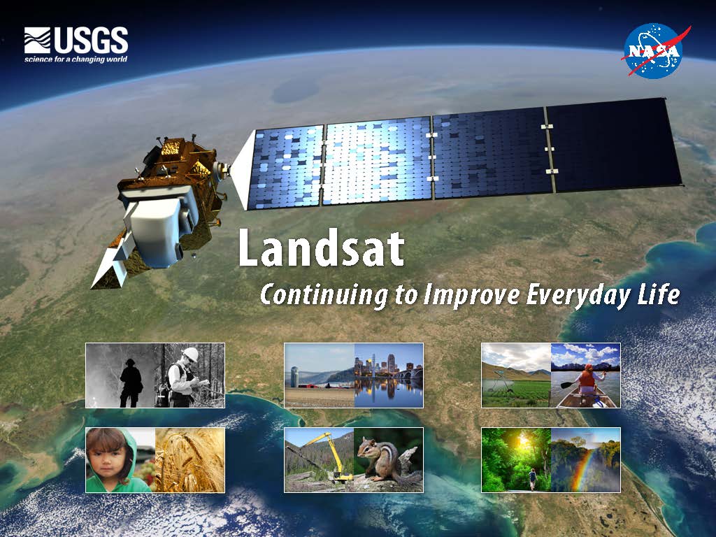
The Landsat Data Continuity Mission (LDCM), renamed Landsat 8 after launch, builds on a rich legacy of service to society. Since the launch of Landsat 1 in 1972, Landsat satellites have become an integral part of many operational land management activities. Landsat satellites provide decision makers with key information about the world’s food, forests, water and how these and other land resources are being used. The Landsat Case Studies Book, Landsat: Continuting to Improve Everyday Life (PDF, 46.8 Mb), explores a number of important everyday uses of Landsat that benefit us as a society. The Case Studies book was published in Feb. 2013.
eBook Chapters
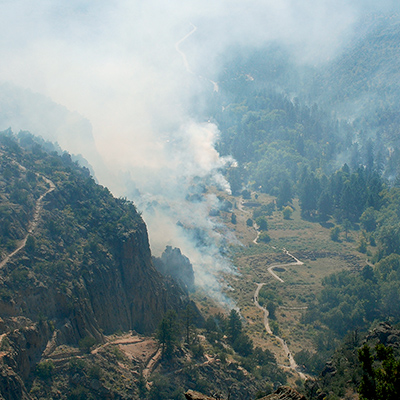
Natural Disasters: Fire
At 8 p.m. on Thursday, May 4th, 2000, after months of planning, fire boss Mike Powell ignited a routine prescribed fire at the Bandelier National Monument just outside of Los Alamos, New Mexico. The burn was intended to reduce hazardous fuel (like dead trees and accumulated brush) in the Upper Frijoles Creek drainage area on the eastern rim of the Jemez Mountains. Initially it went as expected, but…
[ Read More 3 MB PDF ]
Land Use and Land Cover Change
Pam Anderson and her colleagues at the Minnesota Pollution Control Agency’s Lakes and Streams Monitoring Unit have an unusually big job. Popularly known as the Land of 10,000 Lakes and home to more than 12,000 of them, Minnesota has vast water resources, and Anderson and her colleagues are responsible for monitoring, managing, and protecting all of them. It would be an impossible task if not for satellite data.
[ Read More 4 MB PDF ]
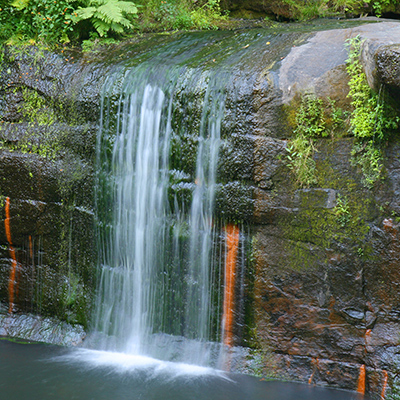
Water
Dean Stevenson has farmed the plains of south-central Idaho most of his forty-seven years. Like all farmers, he worries about things like the price of sugar beets and malt barley or the cost of gasoline, but most of all, he worries about water.
[ Read More 4 MB PDF ]
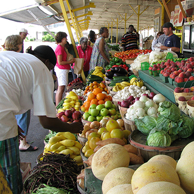
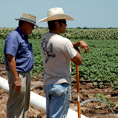
Food
From George Washington to Abraham Lincoln, early U.S. presidents struggled to determine the value and extent of U.S. agriculture—then the country’s primary economic engine. Despite Washington’s best efforts, the U.S. did not have an annual agricultural survey until Abraham Lincoln established the Department of Agriculture in 1862.
[ Read More 3 MB PDF ]
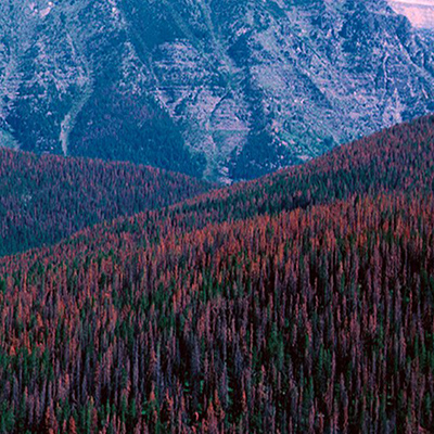
Ecosystems
Standing at the foot of a mountain inside Sheepshead Recreation Area just outside of Butte, Montana, Sue Cummings remembers the day she married her husband 25 years ago. She recalls her casual off-white dress and the deep green of the forest. The smell of pines still brings her back to that day.
[ Read More 4 MB PDF ]

Forests
How many trees are there in the world? It’s more than a trivia question, and one that the United Nations Food and Agriculture Organization (FAO) has been striving to answer every 5 to 10 years since 1946.
[ Read More 5 MB PDF ]
Fact Sheets About the Landsat Data Continuity Mission (LDCM)/Landsat 8
LDCM Launch Brochure, Winter 2012 (PDF, 18.1 Mb)
Landsat Data Continuity Mission Fact Sheet, Summer 2012 (PDF, 594 Kb)
LDCM Brochure, Fall 2010/Winter 2011(PDF, 3.4 Mb)
Fact Sheets
Alaska’s Thawing Permafrost, Spring 2009 (PDF, 1.1 Mb)
Alaska’s Bear Glacier, Spring 2008 (PDF, 600 Kb)
Landsat & Climate Change, Winter 2008 (PDF, 360 Kb)
Antarctica’s Drygalski Ice Tongue, Winter 2008 (PDF, 1.7 Mb)
Blending Science and Art, Summer 2006 (PDF, 916 Kb)
The Chesapeake Bay, Spring 2006 (PDF, 664 Kb)
Baltimore, Maryland, Fall 1999 (PDF, 668 Kb)
Outer Banks, North Carolina, Fall 1999 (PDF, 572 Kb)
Washington, D.C., Fall 1999 (PDF, 672 Kb)
Amelia the Pigeon: NYC, Spring 2003 (PDF, 312 Kb)