By Laura E.P. Rocchio
The great strength of Landsat data is its long record, the ability to look at our planet over the past 40 years and see what changes man and nature have wrought.
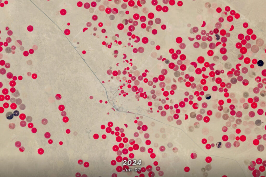
Some change is visually staggering such as large tracks of deforestation or center-pivot irrigation fields appearing in a desert; but often change is more subtle like the thermal differences in irrigated fields that tell us about water use or the progressive effects of an insect infestation on a forest. To correctly perceive and accurately understand such change it is essential that Landsat data can be compared from date-to-date and sensor-to-sensor. This requires accurate calibration and validation of all of the Landsat sensors. The Landsat program employees a team of engineers and scientists to constantly monitor Landsat sensor calibration and ensure that the data collected by Landsat’s sensors is comparable spectrally (or radiometrically) and geometrically.
With the upcoming launch of the Landsat Data Continuity Mission—to be called Landsat 8 once in orbit—the calibration, or “cal,” team has been hard at work to make sure the satellite’s sensors are working within their calibration specifications. LDCM’s two sensors are the Operational Land Imager (OLI) and the Thermal Infrared Sensor (TIRS). In preparation of LDCM’s launch and the subsequent introduction of LDCM’s data to the Landsat archive, the cal team has been working (day and night) on a litany of tasks, including:
- Analyzing OLI and TIRS test data to make sure it meets set specifications (or “spec”)
- Developing rules and routines (called algorithms) for the geometric and radiometric processing of sensor data into scientific products.
- Supporting (24/7) instrument testing in Greenbelt, Maryland (TIRS); Boulder, Colorado (OLI); and Gilbert, Arizona (the integrated observatory)
- Creating, managing, and making effective use of a test data archiving system with over 70 terabytes of testing data
- Characterizing instrument noise
- Developing correction algorithms to remedy sensor performance limitations
- Validating OLI’s radiometric scale with National Institute of Standards and Technology (NIST) benchmarks
- Cross-calibrating OLI and the Multi-Spectral Instrument (MSI) that will fly on the European Space Agency’s Sentinel-2 mission.
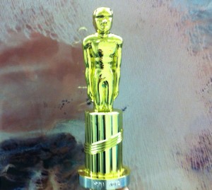
The Landsat cal team consists of calibration experts from NASA, the U.S. Geological Survey and academia. This month NASA recognized its contingent of the cal team with the HOBI Scientific Achievement award from the Hydrospheric and Biospheric Sciences Branch at the Goddard Space Flight Facility. Julia Barsi, Ed Kaita, Raviv Levy, Matthew Montanaro, Lawrence Ong, Jeffrey Pedelty and James Storey were recognized for their LDCM calibration work and its contribution towards NASA’s mission.


