
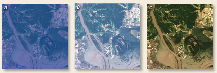
Landsat Surface Reflectance CDRs are generated using Landsat Ecosystem Disturbance Adaptive Processing System (LEDAPS) software, which applies Moderate Resolution Imaging Spectroradiometer (MODIS) atmospheric correction routines to Landsat Level-1 scenes.
The following products are available as options when requests for surface reflectance processing are made through the on-demand USGS Earth Resources Observation and Science (EROS) Center Science Processing Architecture (ESPA) system (https://espa.cr.usgs.gov/):
● Source Products (Landsat Level-1 Product or Metadata, or both)
● Top-of-Atmosphere Reflectance [Hierarchical Data Format for Earth Observing System (HDF-EOS) data format]
● Surface Reflectance (SR) (HDF-EOS data format)
● Band 6 Brightness Temperature (HDF-EOS data format)
+ Landsat Surface Reflectance Climate Data Records Fact Sheet [PDF]
+ Landsat Surface Reflectance Climate Data Records

Be Part of What’s Next: Emerging Applications of Landsat at AGU24
Anyone making innovative use of Landsat data to meet societal needs today and during coming decades is encouraged to submit and abstract for the upcoming “Emerging Science Applications of Landsat” session at AGU24.


