October 2017
 |
Miles of Algae Covering Lake Erie; The New York Times Landsat data was chief among a collection of satellite data used to show the 700 square mile algae bloom in western Lake Erie. |
|
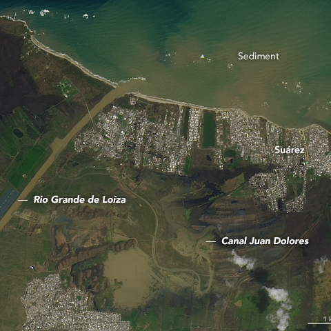
For 1st Time, NASA Uses Black Marble Tech in Disaster Response—the Images of Puerto Rico are Amazing; CNBC This article about the use of NASA’s Black Marble to see power outage extents in Puerto Rico, also shows a Landsat 8 image that was used to assess flooding extent in Puerto Rico following Hurricane Maria. |
August 2017
|
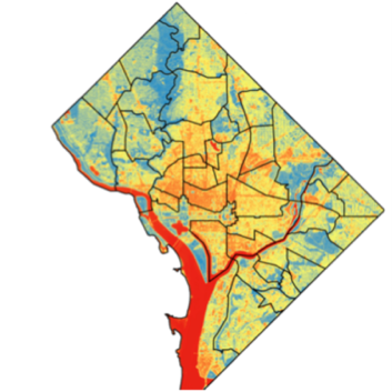
D.C.’s Heat Islands; D.C. Policy Center This article uses Landsat 8 data to analyze vegetation patterns, temperature trends, and neighborhoods vulnerable to heat-related illnesses on the urban heat island of Washington D.C. |
|
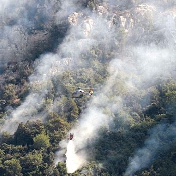
Amalfi Coast Fires in Italy; ESA Sentinel-2 and Landsat 8 data were used to illustrate the extent of summer wildfires that tormented Italy’s Amalfi Coast. |
September 2016

|
Who is the Wet Prince of Bel Air? Here are the Likely Culprits; Reveal from The Center for Investigative Reporting Investigative journalists from Reveal used satellite imagery, including Landsat, in an attempt to track down Los Angeles residents who were using outsized amounts of water during California’s drought. Their findings included one property using the amount of water typically used by 90 families. |
March 2016
|
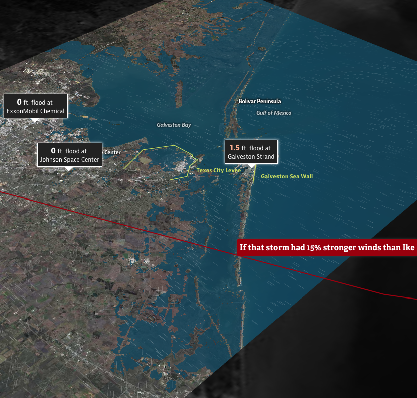
Hell and High Water; The Texas Tribune & ProPublica More than a year before Hurricane Harvey, The Texas Tribune and ProPublica put together this imagery-intensive explanation of Houston’s unique vulnerability to hurricane storm surges. Landsat was a key source for the base images used. |
August 2014
|
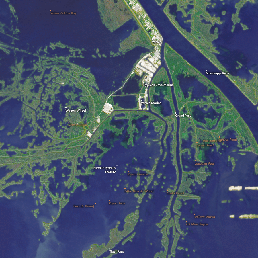
Losing Ground; ProPublica & The Lens An in-depth, interactive look at the disappearing lands of the Mississippi Delta region featuring Landsat as both base map and change indicator. |