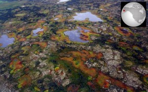
One of the remotely sensed products utilized in this study was Web-Enabled Landsat Data (WELD). The WELD project was developed to provide consistent data that could be used to derive land cover as well as geophysical and biophysical products for regional assessments of surface dynamics to study Earth system functioning.
WELD produces and distributes a “seamless” consistent mosaic of the conterminous United States and Alaska using Landsat Enhanced Thematic Mapper Plus (ETM+) Level 1 Terrain-corrected (L1T) products from 2003 through 2012. These data are pre-processed and ready for end-users. For this study, researchers used 6 spectral bands along with the vegetation indices derived from WELD to create multi-season, multi-year 30-meter mosaics of the Yukon River Basin.
The study authors modeled probabilistic permafrost of near-surface permafrost distributions. The quantitative modeling approach used in this study was found to be successful in generating a regional near-surface permafrost map. The distribution of areas estimated to be present or absent of near-surface permafrost contained approximately 46% and 45% of the Alaskan Yukon River Basin. Masked areas (water and developed) accounted for the reaming 9% of the landscape. This modeling approach has the potential to be applied to other high-latitude ecosystems; however, more work is needed to further improve prediction confidence levels.
References:
+ International Association of Permafrost, 2014, accessed October 29, 2014, http://ipa.arcticportal.org/resources/what-is-permafrost

Be Part of What’s Next: Emerging Applications of Landsat at AGU24
Anyone making innovative use of Landsat data to meet societal needs today and during coming decades is encouraged to submit and abstract for the upcoming “Emerging Science Applications of Landsat” session at AGU24.


