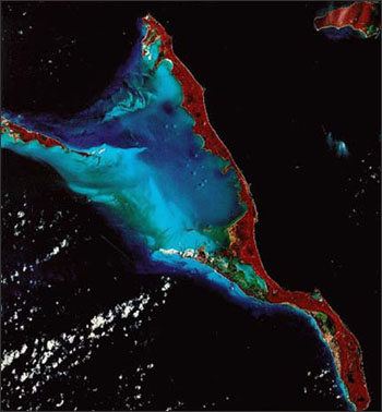
Location: Long Island, Bahamas

The red colors in this Landsat false-color infrared composite image of Long Island, Bahamas, give us an indication of its lush vegetation. The different shades of blue, west of the island represent varying water depths in a very shallow area.
Landsat 7 imagery has been used to map the world’s coral reefs.
Spectral Characterization
The measured wavelength locations of the ETM+ spectral bands are compared to Landat 5’s TM in Table 8.1 The spectral bandwidths are determined by the combined response of all optical

