
By Mary Mitkish and Sherrie Wang, NASA Harvest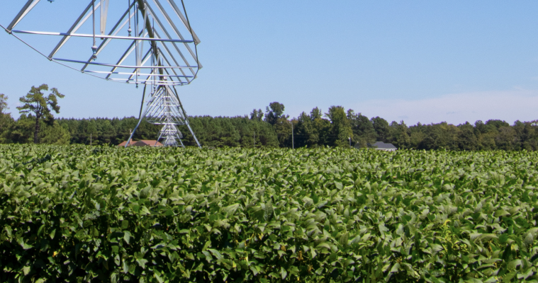
Recently published in Scientific Data, research led by NASA Harvest partners of Stanford University including Sherrie Wang [PhD(c)], David Lobell, Jillian Deines, and Stefania Di Tommaso, analyzed twenty years worth of satellite data for maize and soybean crops throughout the Midwestern United States.
“Mapping twenty years of corn and soybean across the US Midwest using the Landsat archive” details how researchers are able to fill in existing data gaps in the Cropland Data Layer for field-level crop type monitoring, which is key to improved crop production forecasting as well as supporting larger-scale analysis of agricultural outputs.
“We embarked on this project because a lot of our work relies on long time series to study changes in agriculture and how they interact with the environment,” explains first author Sherrie Wang.
Since 2008, the United States Department of Agriculture (USDA) has combined satellite imagery, Farm Service Agency (FSA) training data, and machine learning algorithms to generate the Cropland Data Layer, which maps over 100 crop types across the continental U.S. However, as a result of early-day expenses associated with acquiring and processing satellite data for the Cropland Data Layer, data gaps appear over the last few decades due to missing analytics for swaths of land across Midwestern states.
Wang notes that “Landsat has been operating since the 1970s, but prior to the 2010s its imagery was costly and computational power was limited. Today, we have free satellite imagery and cloud computing platforms like Google Earth Engine, so we wanted to see whether we could use the archive to extend crop type maps back in time.”
The NASA Harvest-funded team set out to fill these lapses in crop information by using publicly available [NASA/USGS] Landsat data archives combined with cloud computing resources to map corn and soybean at high resolution from 1999-2008. This satellite data alongside machine learning can be used to quickly and accurately forecast food production, monitor crop yields, identify agricultural practices, and observe ecological impacts.
“We hope that this will allow researchers to study longer time series of agriculture in the Midwest and assess the effect of policies implemented before 2008,” says Wang.

One of the most critical agricultural producers in the world, Midwestern states provide more than a third of the globe’s corn and soybeans.
In order to sustain this level of agricultural productivity, it is necessary to analyse the agricultural practices throughout the region particularly related to the production changes that have occured over the course of many years. A key piece to understanding this relationship involves defining the locations of the main crops produced in the area (ie. corn and soybean) as well as the amount of each crop in the region over long periods of time.
Using training data from 2008 to 2018, the group of agricultural experts validated county-level crop acreage statistics, state-level crop rotation statistics, and Cropland Data Layer predictions from 1999-2007 wherever possible.
Describing the method used for the study, Wang says that she “used Google Earth Engine to apply random forests, a type of machine learning algorithm, to twenty years of Landsat imagery to distinguish corn, soybean, and a combined category of all other crops.”
The resulting corn and soybean maps, dubbed the “Corn-Soy Data Layer,” are now openly available online for download and hosted on Google Earth Engine. These maps date all the way back to 1999 and cover 13 Midwestern states including: Iowa, Indiana, Nebraska, Minnesota, South Dakota, Kansas, Wisconsin, Missouri, Ohio, Michigan, and Kentucky which together produce roughly 90% of the global corn and soybean supply.
Visit Scientific Data’s website to read the full publication and download the data freely from Zenodo.


