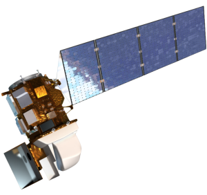
User requirements are a critical source of information used as input to help inform the design and implementation of future spaceborne systems intended to provide global, continuous Landsat-quality visible to shortwave infrared and thermal infrared measurements for at least the next 25 years. The USGS has been developing a structured methodology for acquiring, cataloging, maintaining and evaluating user requirements for Earth observations through its Land Remote Sensing Program, which manages the USGS contributions to the joint efforts of USGS and NASA for the Landsat program.
The Users Forum will feature the methodologies and approaches the USGS is utilizing to acquire and evaluate user requirements and will present some findings and evaluations that can be applied to design considerations for the development of the future architecture. The forum will include presentation of methods and preliminary findings, and will offer opportunities for feedback with regard to the approach and requirements gathered to date. The requirements component will be described in the context of our upcoming planning timeline and identify opportunities and processes for providing input into our planning.
This is a notice of a meeting, not a solicitation of any kind.
Event: USGS/NASA Sustainable Land Imaging Users Forum
Time: 1:00 – 4:15 p.m. EST
Date: Wednesday, December 4, 2013
Location: NASA Goddard Visitors Center Auditorium, 8800 Greenbelt Rd., Greenbelt, Md., 20771.
Registration: Go to http://espd.gsfc.nasa.gov/landimagingstudy/ to register for this event.
Capacity Note: Onsite-attendance will be limited by seating capacity to 124.
+ Sustainable Land Imaging Users Forum Announcement (with Agenda) PDF
+ Sustainable Land Imaging Architecture Study

Be Part of What’s Next: Emerging Applications of Landsat at AGU24
Anyone making innovative use of Landsat data to meet societal needs today and during coming decades is encouraged to submit and abstract for the upcoming “Emerging Science Applications of Landsat” session at AGU24.


