
Source: USGS EROS
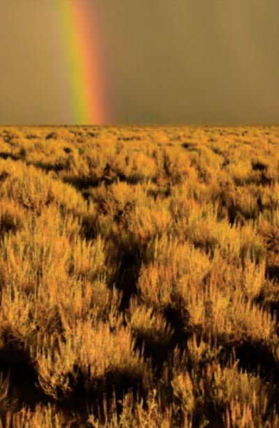
When a wildfire rampages through a sagebrush domain, restoring the landscape’s natural vegetation afterward is often a dicey proposition. But now complicate that situation with soil-moisture-robbing drought either before or after the fire. What becomes the best restoration solution then?
That’s the question Research Ecologist Matt Germino with the U.S. Geological Survey (USGS) is trying to answer today, along with colleagues from the USGS’ Earth Resources Observation and Science (EROS) Center, and others.
Federal agencies invest a lot of dollars and time in seeding and other restoration options after a fire, says Germino, who works out of the Forest and Rangeland Science Center in Boise, ID. But recovery is often a roll of the dice. Many factors impact potential success—weather, precipitation, length of time given for recovery, even the tilt of the landscape itself. Sometimes the restoration works. Many times, it does not.
Now with funding from the USGS Climate Adaption Centers, Germino is tapping soil moisture experts and climatologists to help him figure out how to define and map sagebrush areas where wildfires and drought intersect. At one level, that means researching soil moisture and field measures of sagebrush. But they’re also looking at historical effects of fires and drought—and the potential recovery afterward—using weather records and time series shrub/grass products produced by EROS Scientist Collin Homer and his colleagues under the umbrella of the National Land Cover Database (NLCD).
“Collin can produce maps of sagebrush abundances for just about every year going back more than 30 years” using Landsat data, Germino said. “So, with that, we’re able to make reconstructions of sagebrush abundance at much larger spatial scales, over burn areas larger than 100,000 acres, albeit with less resolution than is possible with our small-plot field data.”
NLCD products offer a look at fractional vegetation cover for each 30-meter pixel within a sagebrush ecosystem. Those products identify such components on the landscape as shrub, herbaceous, bare ground, and litter. By utilizing the Landsat archive, Homer and his group can estimate annual fractional cover going back to 1984. That means by knowing when and where both fires and drought occurred, they can use those products to analyze where restoration efforts occurred afterward, and how well the vegetation recovered.
Granted, the accuracy of those products depends on the application and scale of the geography, Homer said. But he believes they are accurate enough to capture fairly subtle differences, ones that can lead to an understanding of where recoveries are different, even where they are driven by climate differences.
“We can see all that,” Homer said. “We can see climate effect differences, so the assumption is then, we can see restoration effect differences. Time will tell, but we’re optimistic that we can see a signal there that will help in Matt’s work.”
For land cover managers having to balance the costs of restoration against possible solutions—do they put native species on some of the burned land, for example, or do they just get ground cover down to keep the soil intact—Germino’s project will ultimately provide a web-enabled tool with different options for them to consider.
Since wildfires typically cover such expansive areas, using field assessments alone to gauge potential recovery efforts isn’t a viable solution, Germino said. That’s why the question of accuracy in remotely sensed assessments becomes paramount. Since a time series approach using Landsat data to look at the impact of drought before or after fires hasn’t been done in the past, this work with EROS and the others is just beginning to unlock the possibilities, Germino said.
What he likes about the shrub/grass time series products is how EROS works to incorporate actual ground data into its model outputs, and that Homer and others are constantly striving to improve their models. “Not everybody that does vegetation mapping from remote sensing takes that approach,”
Germino said. “The fact that the guys at EROS have that mentality, and that’s embraced in their methodology, that’s something we think is a bright light moving forward.”
To be relevant in their work, following due process in product development and being rigorous in their approach have to be givens, Homer said.
“I think the big picture EROS perspective is that we are good remote sensing scientists,” he said. “That’s why with the National Land Cover Database, we’ve had success for so many years. We have a rigorous approach, and we take it seriously and try to do good science. That will always benefit you in the long run.”
The hope now is that this project will help to move post-fire landscape treatments out of a historical practice of committing to a year or two of restoration applications “and then hoping for the best,” Germino said.
The fact is, he added, “there wasn’t a huge amount of success with that approach.”
Now it’s expected that land managers will be able to use information gleaned from this project to set more scientifically based expectations for recovery after wildfires. Based on the time series data and the other inputs, their understanding of how long it could take for restoration, how much it should cost, and what treatments might work best, should be much clearer.
“A manager can go in and say, ‘This is the area of my burn. Based on all the other burns that have occurred in this elevation, and this soil type, and how they were restored, this is my likelihood of success,’ ” Homer said. “It’s basically designed to help land cover managers decide how to have the best restoration success possible.”
For more information:
+ NLCD Shrubland Data
+ U.S. Geological Survey Shrub/Grass Products Provide New Approach to Shrubland Monitoring [PDF]


