
This month, the world lost a giant in the world of quantitative remote sensing. David A. Landgrebe passed away on November 21, 2020 at the age of 86.
Landgrebe was a pioneer of digital remote sensing and data processing. He and his team at Purdue’s Laboratory for Applications of Remote Sensing (LARS) developed data processing, digital analysis, and pattern recognition techniques that are still regularly used today in the field of remote sensing.
Landgrebe’s career was in many ways entwined with the Landsat program. He was there from the very beginning. Prior to Landsat 1’s launch, Landgrebe chaired a sensor panel for the National Academy of Sciences that convinced decision-makers that digital multispectral scanning held a wealth of information and was worthwhile flying on the Earth-observing satellite that was to become Landsat.
He also chaired the seminal 1975 NASA Thematic Mapper Working Group that defined the spectral bands for the second-generation Landsat sensors (versions of those bands are still part of current-generation Landsat 8 and 9 sensors).
Throughout this time his research yielded important digital image processing techniques for quantitatively analyzing multispectral imagery. His lab was also involved in early remote sensing training and technology transfer, creating some of the very first remote sensing short courses.
Landgrebe published hundreds of scholarly papers during his career including a summary of “The Evolution of Landsat Data Analysis.”
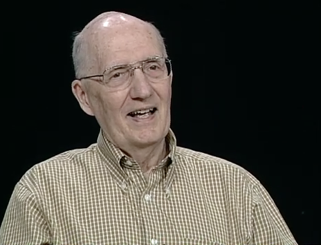
The Landsat Legacy Project Team was fortunate enough to interview Landgrebe in April 2009 for a round-table Landsat oral history discussion (transcript available upon request).
+ Obituary for David Landgrebe


