Setting Up

Setting Up

Setting up is easy. Once Landsat: Seeing in a Different Light arrives, follow these steps to set up:
 

  1. Unscrew the four bolts using a 12mm wrench and remove the door, setting the door aside and out of the way.
  2. Gently remove the main console from the box (you will need two people to do this).
  3. Plug it in and it should power right up.
  4. Remove the two black cases from the shelf inside the shipping crate, unzip the cases and remove the pop-up banner stands and the long metal poles that are under the Velcro pocket in each case.
  5. To assemble the banners, first assemble the metal poles so that they create one large metal pole with the elastic band running from top to bottom.
  6. Put the assembled metal poles into the circle on the bottom of the banner stand so the poles stand upright with the pronged end at top, forming a “T'”.
  7. Pull the banners gently from the base to unroll them, gently latching the banner on one side of the T at the top.
  8. Repeat step 7 for the other side. You should have one banner at the front that shows information about the exhibit and the backside banner should show either an image of Earth from space or an image of Landsat in space.
  9. Repeat Steps 7 and 8 for the other banner.
  10. Place the erected banner stands on either side of the exhibit, with the informational side facing forward.


The fully set up exhibit will look like the image to the right.
For more information, please contact tassia.owen at nasa.gov.

On Key

Recent Posts

1911 USGS map

Creating an Oasis in the Desert: Lake Havasu City, Arizona, 1911

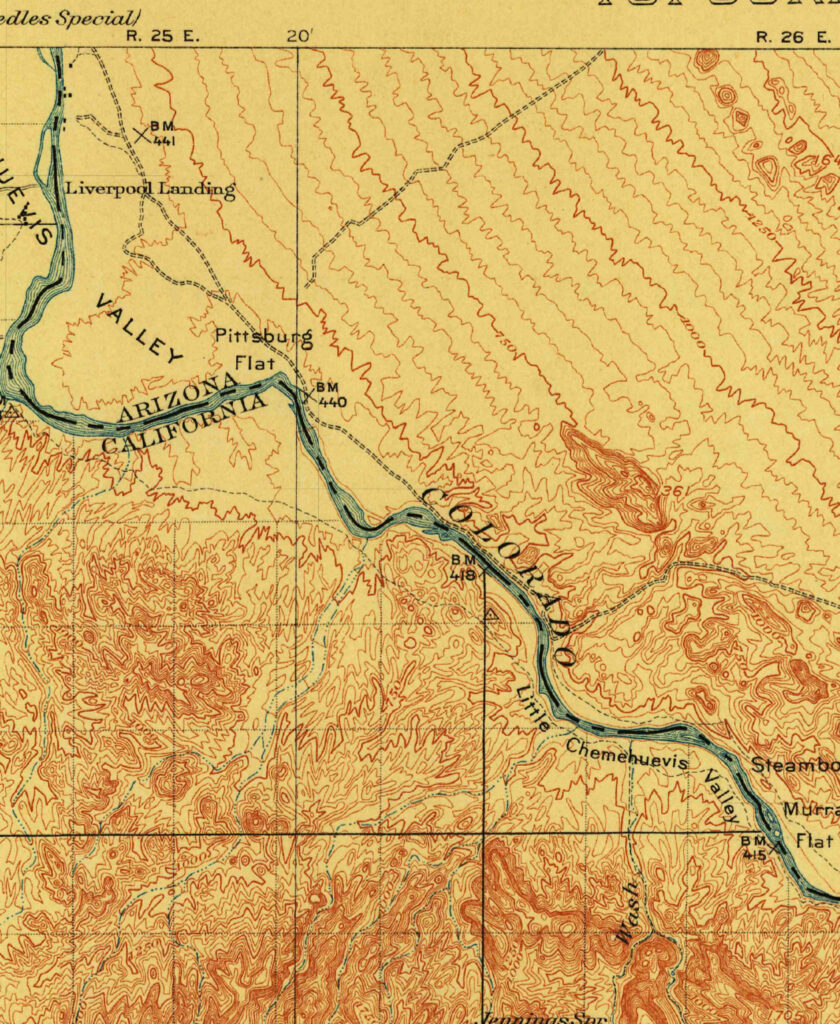
Humans have modified the landscape of Planet Earth in many ways. This modification is nothing new—it began as the earliest humans began burning of local grasslands to encourage new growth, tilling the soil for the first agricultural experiments, and building small dams to ensure a water source. Yet today’s changes are more frequent and also larger in area, from the construction of cities, reservoirs, and tunnels, to widespread land use change through the conversion of the natural land cover to cropland, grazing pastures, mining sites, and other uses.

Read More »
Cape Cod map 1885

Cape Cod, 1885

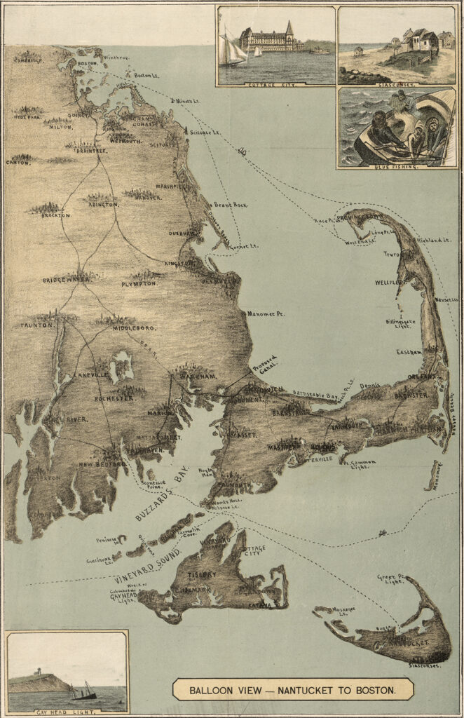
The sandy peninsula of Cape Cod, Massachusetts juts into the Atlantic Ocean with its characteristic crook and twirl in both images: “Balloon View–Nantucket to Boston” made in 1885, and a Landsat 8 satellite image made 129 years later in 2014. Aspirations to rise above the Earth and to record the Earth’s surface from there are a long-standing theme of human culture.

Read More »
On Key

Related Posts

1911 USGS map

Creating an Oasis in the Desert: Lake Havasu City, Arizona, 1911

Humans have modified the landscape of Planet Earth in many ways. This modification is nothing new—it began as the earliest humans began burning of local grasslands to encourage new growth, tilling the soil for the first agricultural experiments, and building small dams to ensure a water source. Yet today’s changes are more frequent and also larger in area, from the construction of cities, reservoirs, and tunnels, to widespread land use change through the conversion of the natural land cover to cropland, grazing pastures, mining sites, and other uses.

Read More »