Search
Close this search box.

Evaluation

Evaluation

Thank you for choosing to host the NASA Landsat traveling exhibit! The documentation included below is designed to help ensure that your hosting experience is enjoyable and educational for both you and your institution’s visitors.
As part of the agreement between NASA and your institution, it’s expected that some data and information will be collected while you have the exhibit, which will be provided to NASA at the end of the hosting period. Please read the following instructions carefully, as they provide directions on how best to track and store this information, as well as an outline of the other documents included in this binder.
Again, thank you very much for partnering with NASA to bring the Landsat exhibit, Landsat Sees in a Different Light, to your visitors – we hope it exceeds your expectations!

Evaluation Forms

  1. Cover Form
  2. Hosting Institution Instructions (Narrative) PROFESSIONAL
  3. Exhibit Receiving Form
  4. Exhibit Damage or Temporary Removal Tracking Form
  5. Exhibit Return Form
  6. Counting Study Instructions
  7. Counting Study Reporting Form
  8. Counting Study Sheet
  9. Audience Survey Instructions
  10. Audience Survey Signage Template
  11. Audience Survey
  12. End-of-Hosting Report


On Key

Recent Posts

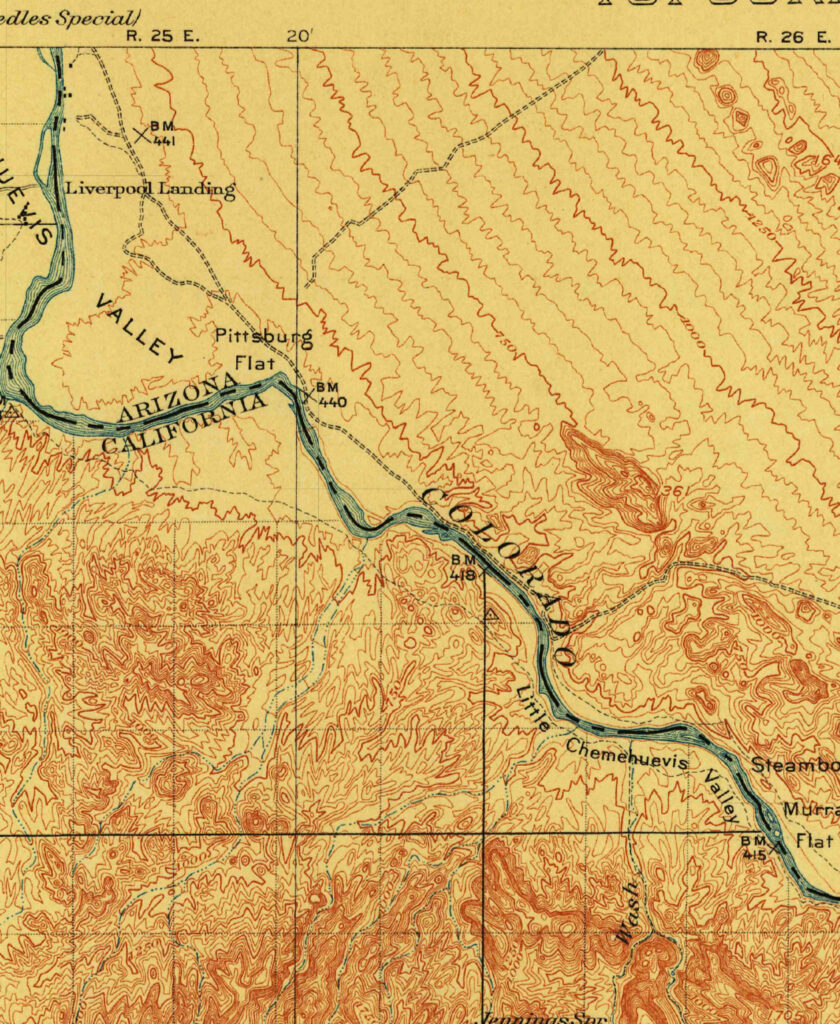
1911 USGS map

Creating an Oasis in the Desert: Lake Havasu City, Arizona, 1911

Parker Dam was constructed on the California-Arizona border on the lower Colorado River during the 1930s, as part of a project to employ people during the Great Depression, to generate electricity, and to provide water that could be pumped into aqueducts for agricultural, industrial, and residential use in other parts of Arizona.

Read More »
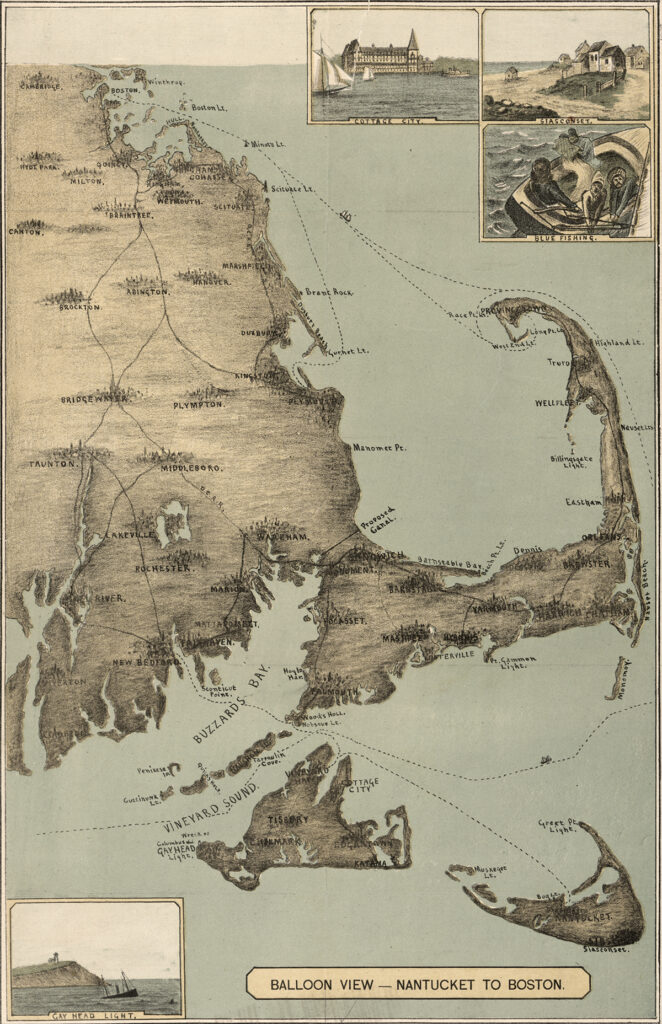
Cape Cod map 1885

Cape Cod, 1885

The sandy peninsula of Cape Cod, Massachusetts juts into the Atlantic Ocean with its characteristic crook and twirl in both images: “Balloon View–Nantucket to Boston” made in 1885, and a Landsat 8 satellite image made 129 years later in 2014. Aspirations to rise above the Earth and to record the Earth’s surface from there are a long-standing theme of human culture.

Read More »
On Key

Related Posts

1911 USGS map

Creating an Oasis in the Desert: Lake Havasu City, Arizona, 1911

Parker Dam was constructed on the California-Arizona border on the lower Colorado River during the 1930s, as part of a project to employ people during the Great Depression, to generate electricity, and to provide water that could be pumped into aqueducts for agricultural, industrial, and residential use in other parts of Arizona.

Read More »