
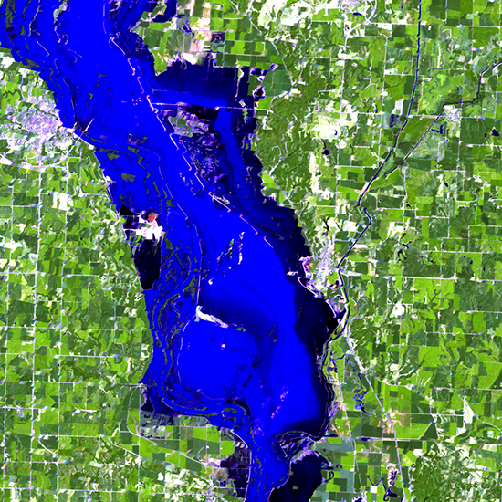
As illustrated in this collection of Landsat 7 images, Landsat 7 provides a worldwide audience with objective views, both current and historical, of events and trends across the global landscape. Landsat data can be used to detect and monitor urban growth, forestry practices, the extent of floods, wildfire burn acreage, major natural or human-caused disasters, and many other important changes in land-surface conditions.
Landsat 7’s remarkable longevity has been vital to the majority of Landsat data users who require frequent imaging of specific areas for land and resource management. For example, water resource managers in western U.S. states need Landsat’s unique combination of thermal and vegetation condition readings at field scale to estimate water use more efficiently for crop irrigation — typically the major source of water consumption in these arid regions
Continuous data and more of it
Combined with Landsat 8, Landsat 7 ensures the collection of images across the entire U.S. every eight days (clouds permitting) and enables the collection of critical global imagery sets on a seasonal basis. Working in tandem, Landsat 7 and Landsat 8 together collect nearly 1000 images daily, almost double the amount of data collected when Landsat 5 and 7 were operating together. This increased data collection benefits all Landsat applications, especially in persistently cloudy areas (e.g. humid tropics and high latitudes) where multiple imaging attempts are essential.
A Landsat primer
Landsat images from space are not just pictures. They contain many layers of data collected at different points along the visible and invisible light spectrum. Consequently, Landsat images can show where vegetation is thriving and where it is stressed, where droughts are occurring, and where wildland fire is a danger.
Landsat satellites give us a view as broad as 12,000 square miles per scene while describing land cover in units the size of a baseball diamond. From a distance of more than 400 miles above the earth surface, a single Landsat scene can record the condition of hundreds of thousands of acres of grassland, agricultural crops, or forests.
Landsat data have been used to monitor water quality, glacier recession, sea ice movement, invasive species encroachment, coral reef health, land use change, deforestation rates, and population growth.
Free data for innovation
The Department of the Interior and USGS policy of unrestricted access and free distribution of Landsat data encourages researchers everywhere to develop practical applications of the data. Ready access to Landsat images provides a reliable common record of Earth conditions that advances the mutual understanding of environmental challenges worldwide by citizens, researchers, and decision makers.
USGS role in observing Earth
USGS and NASA have distinct roles in the Landsat program. NASA develops remote-sensing instruments and spacecraft, launches satellites, and validates their performance. The USGS then assumes ownership and operation of the satellites, in addition to managing ground-data reception, archiving, product generation, and distribution. USGS has managed daily end-to-end Landsat operations since October of 2000.

Be Part of What’s Next: Emerging Applications of Landsat at AGU24
Anyone making innovative use of Landsat data to meet societal needs today and during coming decades is encouraged to submit and abstract for the upcoming “Emerging Science Applications of Landsat” session at AGU24.


