
Webinar subject: Change Detection for Land Cover Mapping
Dates: Friday, September 28, 2018 to Friday, October 5, 2018
Times: 10:00-12:00 and 18:00-20:00 EDT (UTC-4)
Registration Closes: Thursday, September 27, 2018
From the ARSET announcement:
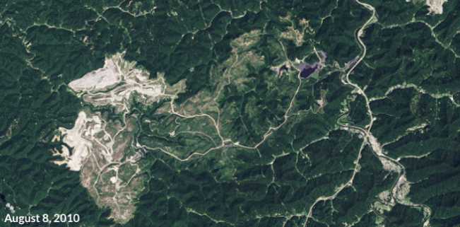
Land cover changes can impact many areas of life. These changes can affect deforestation, ecological communities, wildfire extent, and urban growth. This advanced series will focus on using satellite imagery to map changes in land cover. Attendees will learn change detection methods, including image subtraction and classification. They will also conduct their own change detection analysis. This training will use QGIS, the R statistical program, and the Random Forest algorithm. Both sessions will feature a lecture, time to complete a hands-on exercise, and time for questions.
For more information on this webinar, please visit the ARSET website.

Be Part of What’s Next: Emerging Applications of Landsat at AGU24
Anyone making innovative use of Landsat data to meet societal needs today and during coming decades is encouraged to submit and abstract for the upcoming “Emerging Science Applications of Landsat” session at AGU24.


